The starting point for the westerly leg of this year’s big trip, a journey that will follow the paths of great explorers and cross the paths of other great explorers. But before we leave let me revisit Cook’s contribution to the map of Australia.
Take a Captain Cook at this map …
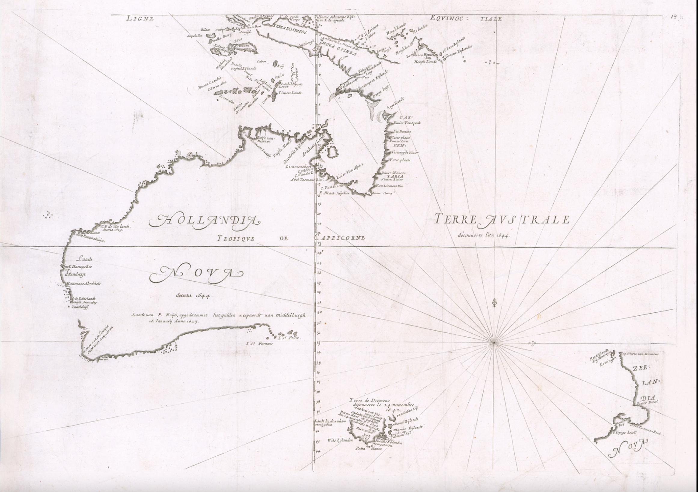
It was published around 1672 by Melchisédech Thévenot in his famous Relations de divers Voyages. It’s based on the work of the Dutch explorers including the then recent discovery of Van Dieman’s Land and Nova Zeelandia by Abel Tasman. Note that New Holland is still attached to New Guinea despite Luís Vaz de Torres having sailed through the strait that now bears his name in 1606. New Zealand is pretty sketchy although the Banks Peninsula helps align it with modern maps.
What Cook did do was put the east coast of Terre Australe and the west coast of Nova Zeelandia in something like their proper places. He knew they had to be there, in 1770 he went and found them. What he didn’t do was discover Australia. I don’t think that diminishes his achievements in any way. He was an outstanding mariner, explorer and servant of his country. They did it tough in those days.
So now to the next leg of my little foray equipped with inner spring mattress and air conditioning.
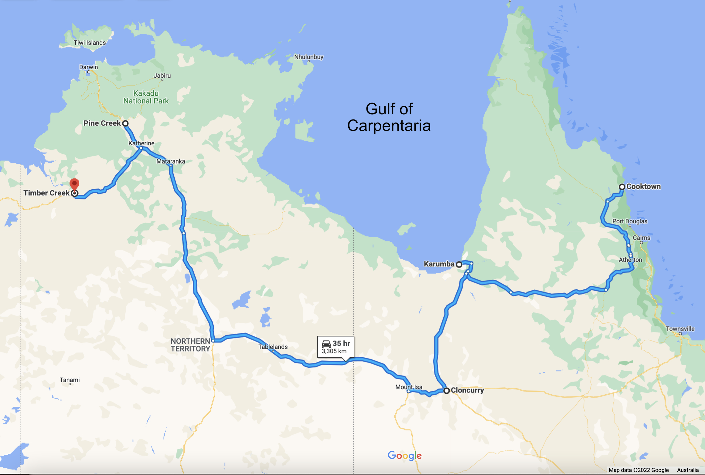
Don’t miss the next exciting episode in which we visit the Atherton Tablelands.
Posted from Coober Pedy which looks very much like the moon will look when we get around to mining it.
