Geological diversions …

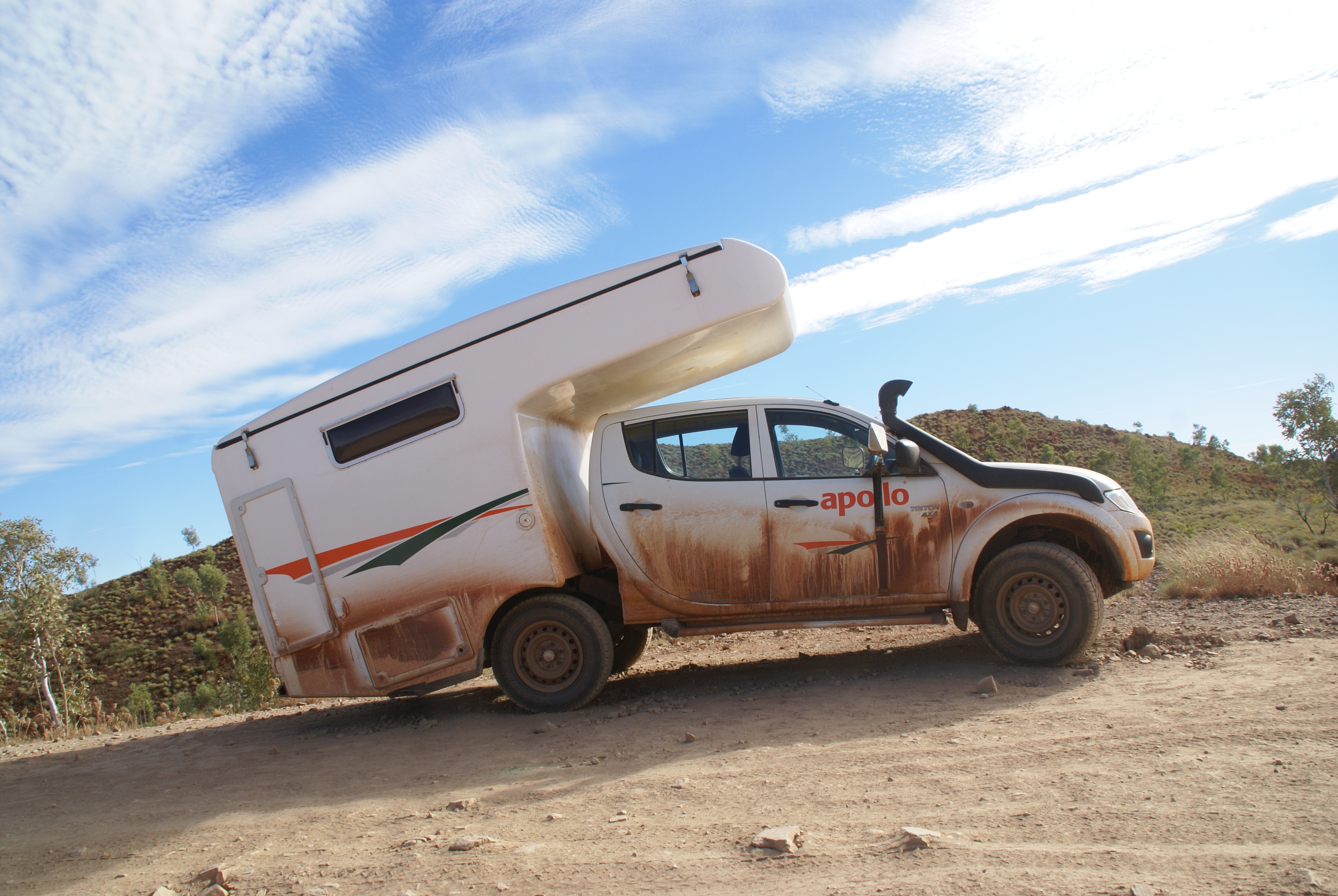
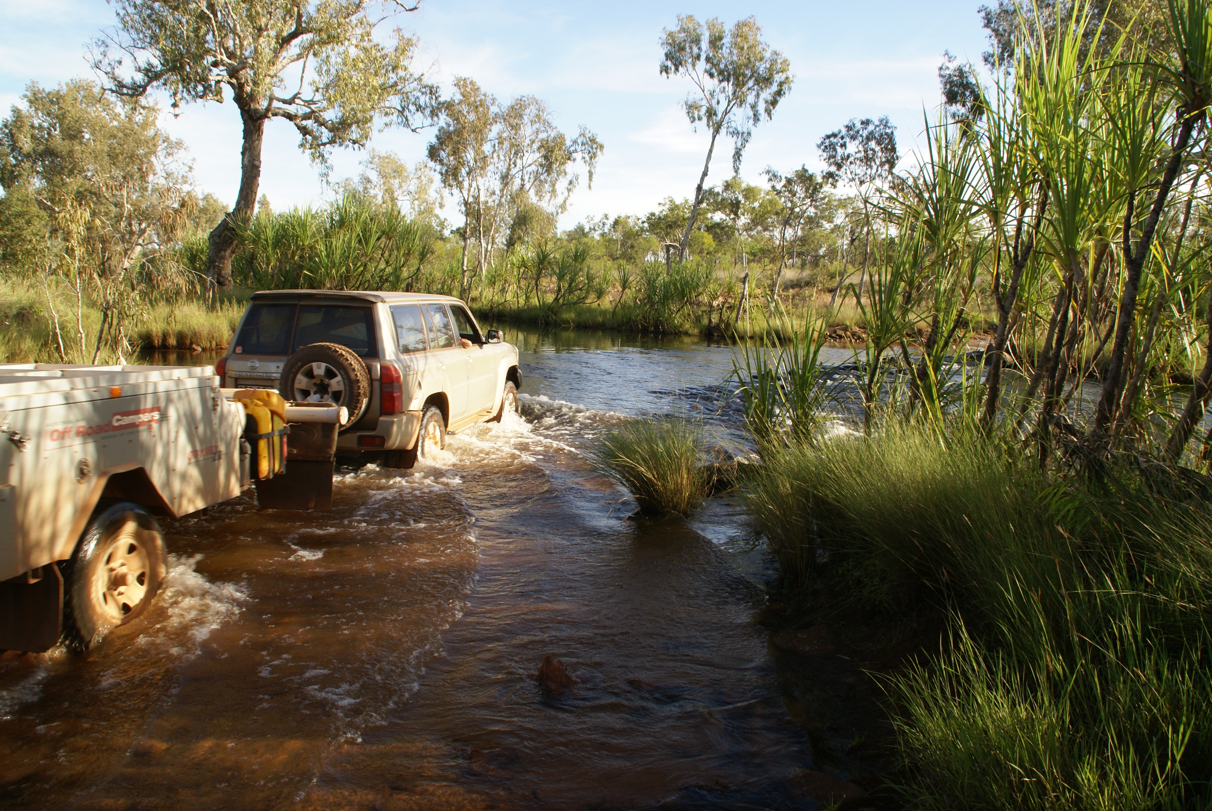
After leaving the Bungles our first stop was the frontier town of Halls Creek where we bought some light beer and groceries.

Then it was off to China Wall which is about 6km away via the Duncan Highway.

China Wall

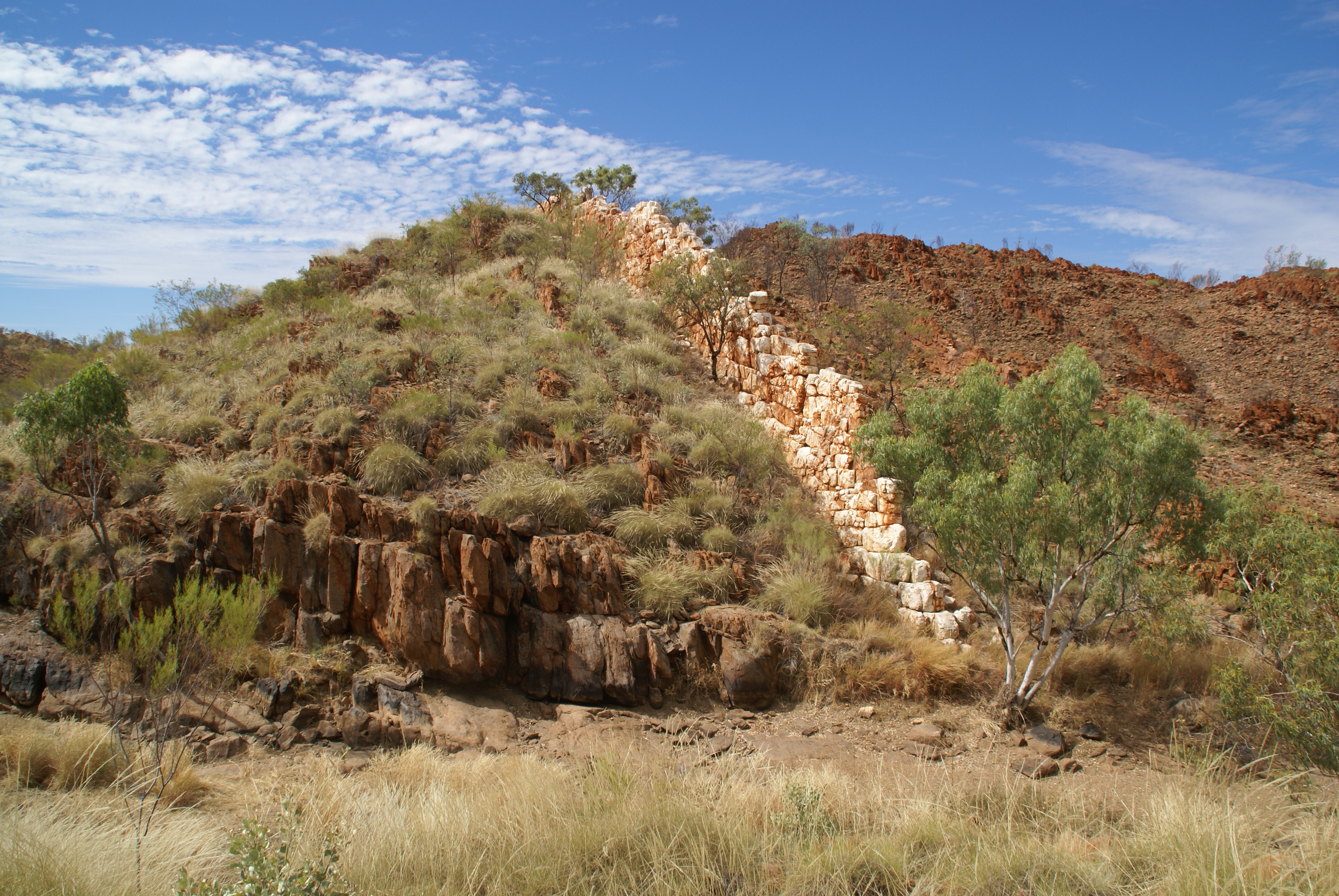
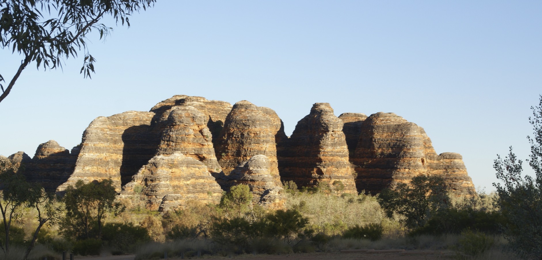
The more resistant quartz has weathered out of the softer surrounding rock to produce a miniature version of the Great Wall of China. It snakes through the country for several kilometres.

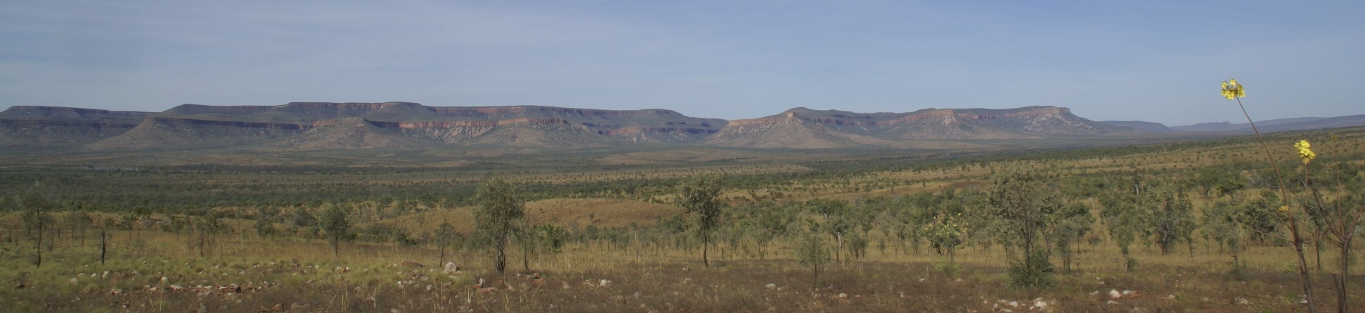
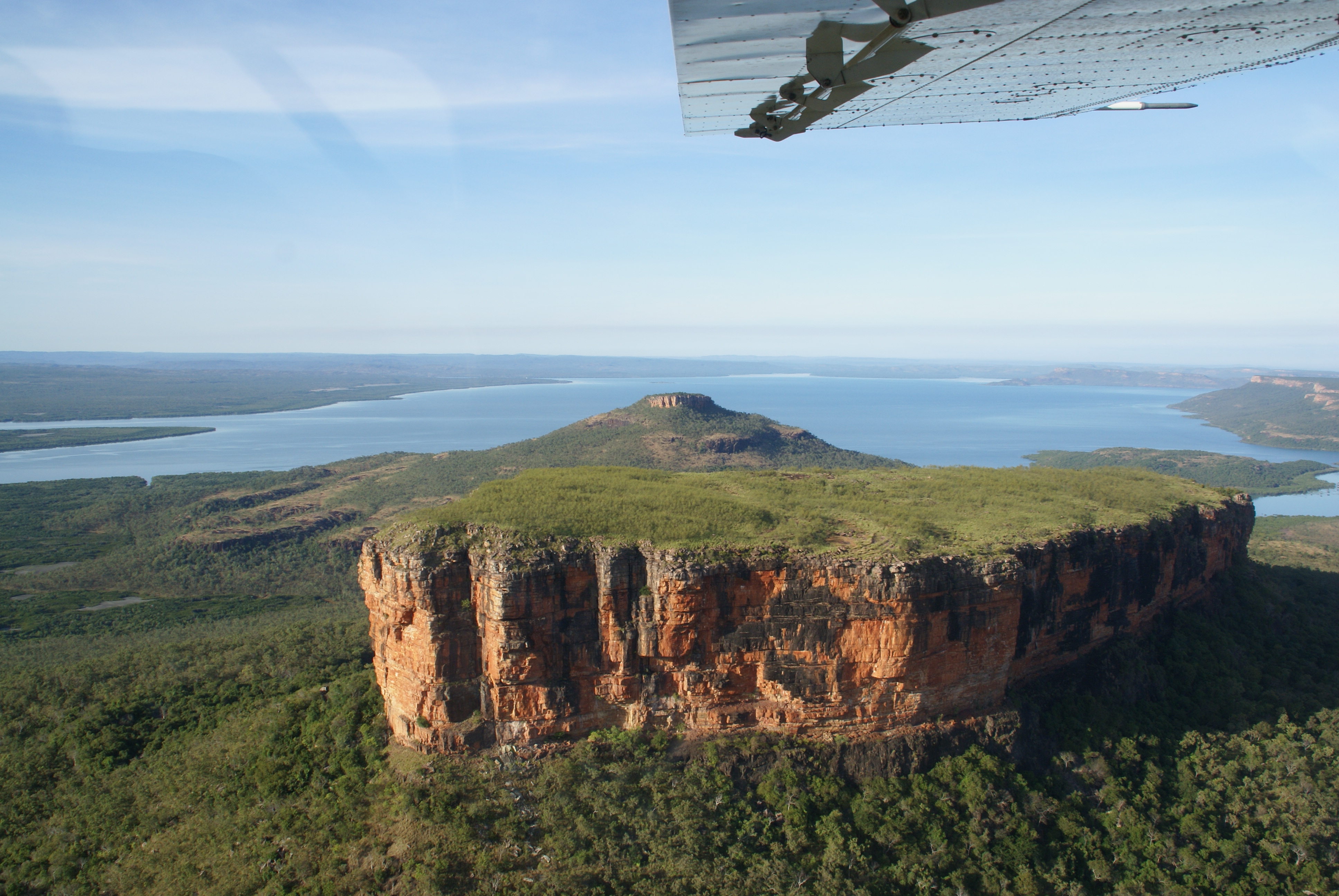
Maintaining the geological theme we then headed 150 km down the Tanamai to the Wolfe Creek Crater.

Wolfe Creek

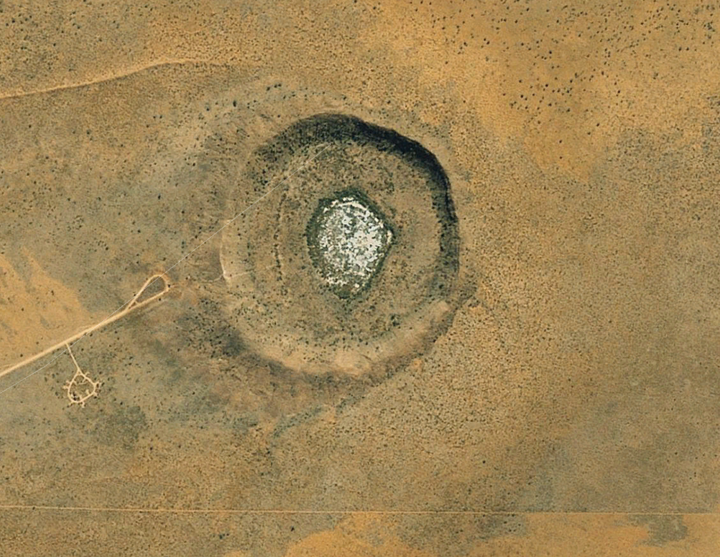
Some time in the Pleistocene 50,000 tonnes worth of meteorite came to visit. It’s about 875 metres in diameter and 60 metres from the present crater floor to the rim.

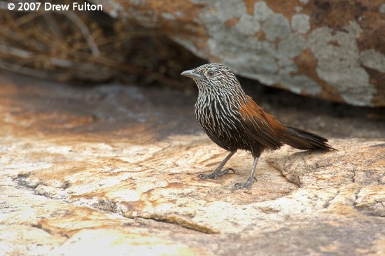
As fascinating as these landforms are our motives were not entirely geological. The creek at China Wall is a known drinking spot for Painted Finch, which sadly we did not see, and one of our number had not seen Grey-fronted Honeyeater which we hoped to find on the Tanamai, and in that we were successful.

<NEXT>.

The Bungle Bungles …

After leaving Home Valley it wasn’t long before our wheels hit the bitumen. I’m sure all four of them were very relieved but for the us on board it signalled a hiatus in the adventure. Straight ahead would have taken us to Kununurra but that held no attraction for us. We turned right onto the Great Northern Highway. The scenery is impressive but the country is drier than along the Gibb River Road. A couple of hours later we turned left to head for the Bungle Bungles in Purnululu National Park.

The park is open between April and December 15 provided the weather permits. The road in is moderately rugged. There are a few river crossings along its 50 km. It is not suitable for two wheel drive vehicles or caravans.The longtitudinal chassis members on this camper had fractured …

Chassis failure

Had they made it in they would have had two camping areas to choose from, the one to the south (Walardi) is closer to the more spectacular beehive formations, the larger northern site (Kurrajong) is handy for the Echidna Chasm. The distance between the camps is not great. Either could serve as a base for  both areas.

The Bungles are not only hard on camper vans, this is a place where you could easily wear out your camera …

Purnululu

The distinctive beehive-shaped towers of the Bungle Bungles are made up of sandstones and conglomerates that were deposited into the Ord Basin 375 to 350 million years ago. Uplift and erosion in more recent times (the last 20 million years) have produced what we see today. The horizontal bands are alternating layers that are more and less porous. Where the water penetrates algae can grow and produce a dark colour, the red bands are due to a covering of iron and manganese oxides.

Purnululu

There are short walks but for the more active let me recommend Whipsnake Gorge in the south and Echidna Chasm in the north. The light is best early and late, go extra early and beat the crowds. Carry water.

<NEXT>

Home Valley …

From Miner’s Pool we headed east again to Home Valley. This is one of two stations near the Wyndham end of the Gibb River Road, the other one being El Questro which is perhaps a bit more famous. Both have developed the tourist side of their operations.

On the way the road crosses a ridge and the impressive Cockburn Range is laid out in front of you. The Pentecost River runs at its foot and discharges into the West Arm of Cambridge Gulf.

Durack Range

Sadly, this is where Joseph Schwab, the Kimberley Killer, shot three of his five victims in 1987.

Once again we had an easy choice of camp site, the fully featured site at the homestead, with kids playground, pool, restaurant, shop and bar or bush camp on the river bank, please camp away from the water’s edge to reduce the risk of crocodile attack. We chose the crocs over the kids. And this was our reward …

Home Valley

We had watched a large Estuarine Crocodile slide into the water just before the photo was taken. We survived the night. The following morning we hiked one of the trails near the homestead and enjoyed a further reward in the form of a flock of Gouldian Finch.

<NEXT>.


River crossing …

This is the King Edward River, the river that might have stopped us getting to the Mitchell Plateau.

King Edward River

It hadn’t rained for over a week by the time we got to see it. Nonetheless, the driver of this vehicle had a good look and walked the track his wheels would take before he went across.

In  the 4WD videos river crossings are undertaken with a splash and a big surge of water. That’s the way to get a good spectacle. If you’re running on diesel with no snorkel your air intake is no higher than your headlight, water in the engine equals immediate failure, a time and money eating retrieval and expensive repairs. If you’re running on petrol your electrics are vulnerable. Especially when the bank is steep, go in nice and slowly, just as the vehicle starts to climb you smoothly increase the revs and ask it to lift you out.

River X

If you are towing a camper trailer the change in angle is too much to ask of a simple ball hitch, especially when there is a rock or two that can have the car leaning one way and the trailer leaning the other. There are a number of devices that allow for extensive rotation in all three planes. I have used a Treg hitch without problems. It’s also worth having a look at the Hitchmaster.

<NEXT>.


Flight …

We stayed a second night at Miner’s Pool in order to take an early morning flight over the Mitchell Plateau that we were originally intending to drive to.

Slingair operate flights from Drysdale River Station that follow a triangular path out to the mouth of the Prince Regent River then up the coast, over the Mitchell Falls and back over more of the million square acres of the station to the starting point. The plane they use is the Gippsland Airvan, made in Victoria, it is terrific for sight-seeing because of the high wing, large windows and seat arrangement. Well worth the cost …

King Cascades
King Cascades

Mt. Trafalgar

Mitchell Falls
Mitchell Falls

<NEXT>.

Drysdale …

Our original Kimberley itinerary provided for a visit to both the well-known sites for Black Grasswren, Bachsten Gorge and the Mitchell Plateau. We were a day late arriving at Bachsten, we were having so much fun there that we stayed a day longer than intended and we decided that the journey out should be taken at a more sedate pace than originally intended. We decided that the Mitchell Plateau would have to wait for another trip.

Our next stop was Drysdale River Station. There is a full facility camp site at the homestead, full of people. We camped two nights at Miner’s Pool, less than 5km away, where we had to share with just a couple of other parties.

Drysdale

It’s a beautiful spot, and we were pleased to find a couple of spectacular birds there, the Purple-crowned Fairywren and the Black-necked Stork. The Fairywren lives in waterside pandanus and the females are just as beautiful as the males, in their own understated way. The Storks are not particularly rare in tropical Australia but always great to see.

Drysdale River<NEXT>.

Kimberley rock art …

If we share the stories of our country with gudia (whitefella), then they will have our country in their hearts as we do, and they will understand and love it, and never damage it.

David Bungal Mowaljarlai OAM  (c.1926–1997).

Before leaving Bachsten Gorge we took the time to explore some of the sandstone outcrops and natural shelters. We followed in the footsteps of many people over many thousands of years. We were fortunate enough to find some paintings on the shelter walls. Just as Mr Mowaljarlai suspected we would, we admired and respected what we saw. Since a picture is worth a thousand words, a few examples …

Kimberley

Kimberley


Kimberley


And lastly a photo taken from within a rock shelter …

Kimberley

If you are interested in this art there is an excellent webpage <HERE>.

To continue the journey <HERE>.


Bachsten Falls …

With the Black Grasswren ticked our thoughts turned to the other attractions the neighbourhood had to offer.

In the Kimberley, sandstone plus water usually adds up to a gorge and in this instance an impressive waterfall. We first hiked down to the falls and had a look off, then climbed up to a vantage point from where we had a great view of the falls and pools from above. The great advantage of getting there early in the dry was that the scene was at its best.

Tranquility above the falls
Bachsten Falls
Bachsten Falls

And beauty, not only on the grand scale, but at every scale …

Kimberley Rose
Kimberley Rose

<NEXT>.

The Black Grasswren …

Bachsten Gorge, 11th June, 2013 …

Got it. First a call, then a fleeting glimpse of two birds up hill of us on top of a blackened sandstone boulder. We wait in the hope of a second look but a couple of minutes pass with no success. We creep up to a spot where we can look down on the boulder. Gone.

A few moments later the whole party can be seen travelling fairly quickly across country about a hundred metres up hill. Hoping that they would be consistent in their direction of travel we hiked hard to intercept them at a rocky knob on the skyline. We got there just in time to enjoy very brief close views as they went one by one over the crest of the hill.

This is, of course where I would put my photograph, but on this and subsequent contacts they were just too active to get them in the open and in focus. I hope Drew Fulton will forgive me using this superb photo of his …

normal_black-grasswren-00002

This is a male, the girls have chestnut bellies. They are bigger than I expected, certainly bigger than the majority of Grasswrens and superbly coloured to fit into their environment. Picture it, open woodland with spinifex between the trees, broken by large sandstone boulders ranging from red to black, harsh shadows cast by the tropical sun, the grasswrens on the move, bold, active and beautiful.

<NEXT>

Bachsten Gorge (3) …

We were the third group to make it through to the camp at Bachsten Gorge for the season and the third group to require Rick’s assistance. He was considering closing the road until the water levels had gone down a bit. At that evening’s radio call he suggested that the Station ensure that people came up in groups. That was enough to deter any more visitors for a few days! Being bogged can be hazardous.

The camp has cabins, un-powered and powered camping sites. The generator runs late afternoon until evening. Showers were available any time, from 5 pm they were heated by a wood fire. Hospitality ran hot all the time, Rick and Anne are very lovely people.

The Black Grasswren requires large sandstone boulders and spinifex. We wasted no time looking but drew a blank.

That evening, though brought an abundance of wildlife in the form of Northern Quoll, Golden-backed Tree-Rat, Northern Brown Bandicoot, Monjon, Sugar Glider and Dingo …

Northern Quoll

Heaven is a warm shower, a cold beer, a Northern Quoll and a Black Grasswren. I was almost in heaven …

<NEXT>