Progress southwards has been slow over the last week or so. The reason is simple Queensland has the highest rate of intra-Australian immigration of all the Australian states. This is where some of our friends have resettled and we even have a few that were born here. We have been looked after royally by them. My last full day in the state this trip was spent minding the dog while Gayle visited a friend that she made on her first day at kinder.
Queensland is the second largest state and the third most populous. Surface area 1,723,030 square kilometres (665,270 sq mi), population 5.5 million which is roughly 3 people per square kilometre – if you spread them out evenly you’d have trouble finding them. But they are not spread out evenly. Three quarters live in the southeast mainly Brisbane, most of the rest live up the coast in the narrow strip east of the Great Dividing Range. The only town of more than 20,000 in the vast plains west of the Divide is Mount Isa.
Brisbane is the State Capital, it’s tucked away in the bottom right hand corner. The tropic of Capricorn crosses the state about 370 km further north. We entered the State in the far north west via Hell’s Gate which is 2,259km by road by the direct route, not the way we did it. We will leave via Tweed Heads. Just 103km south of Brisbane and we’re in New South Wales. Queensland is very asymmetric!
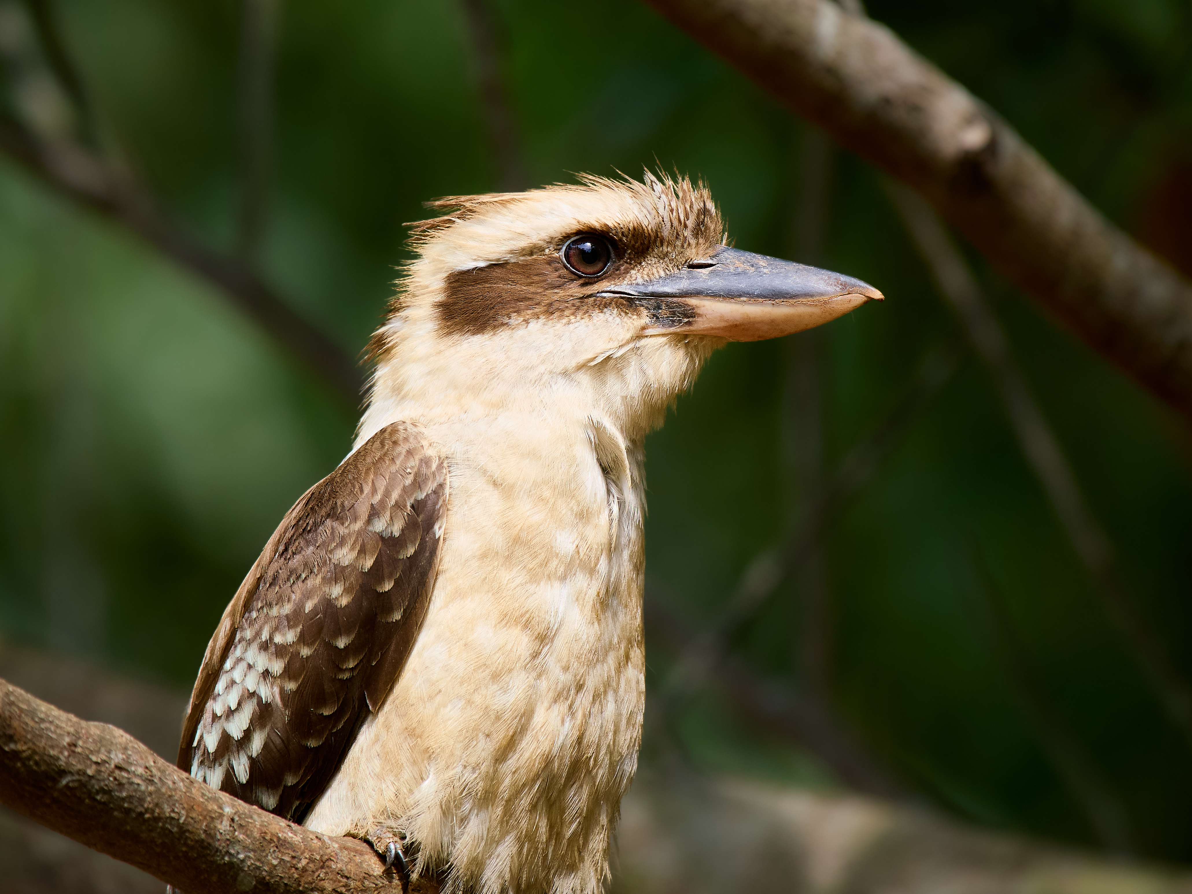
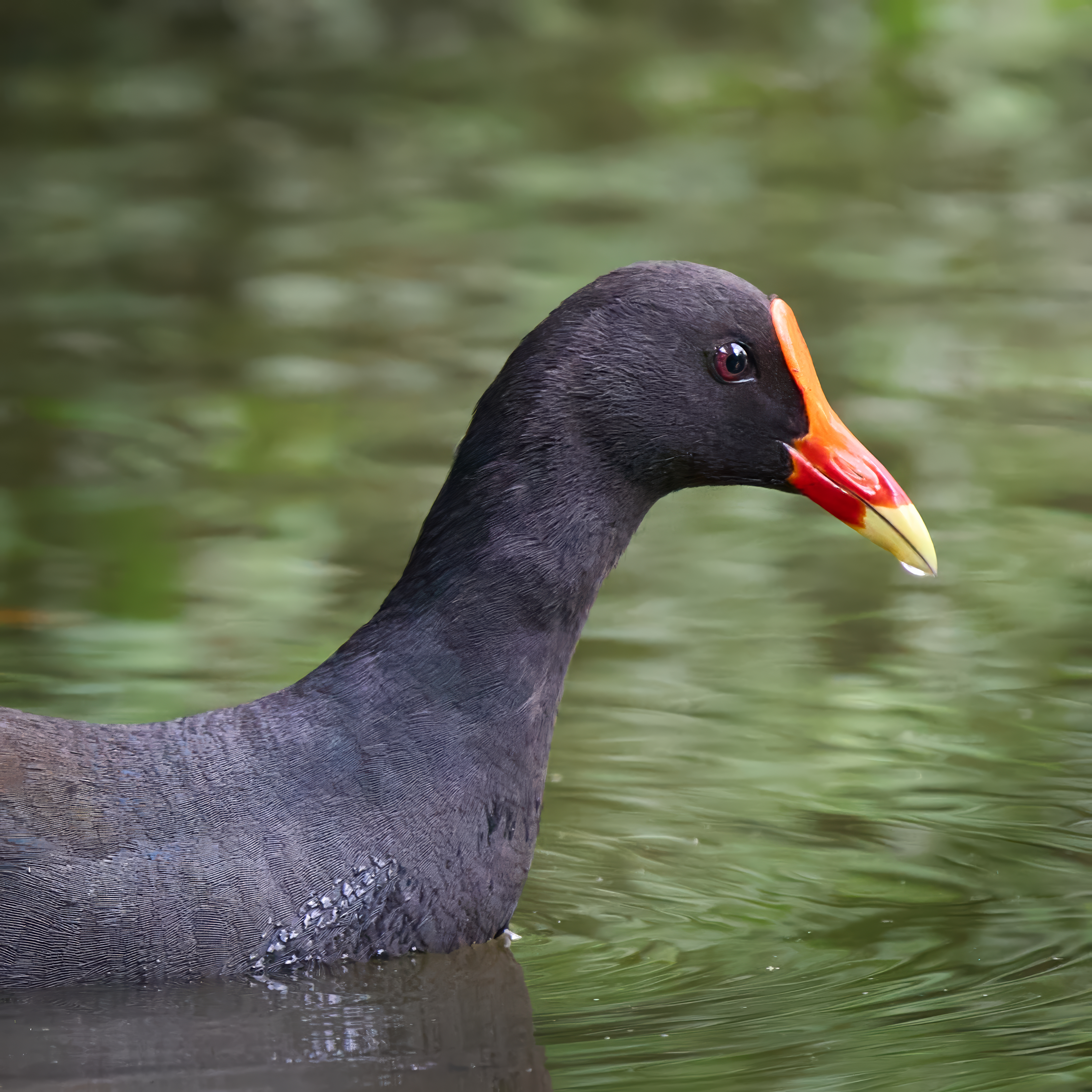
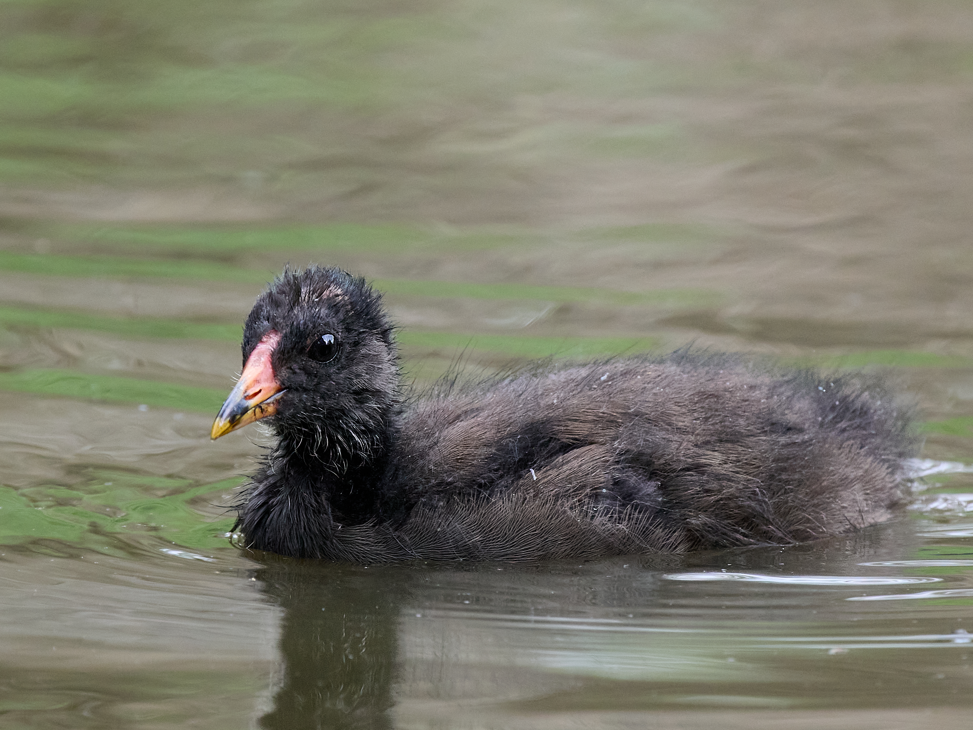
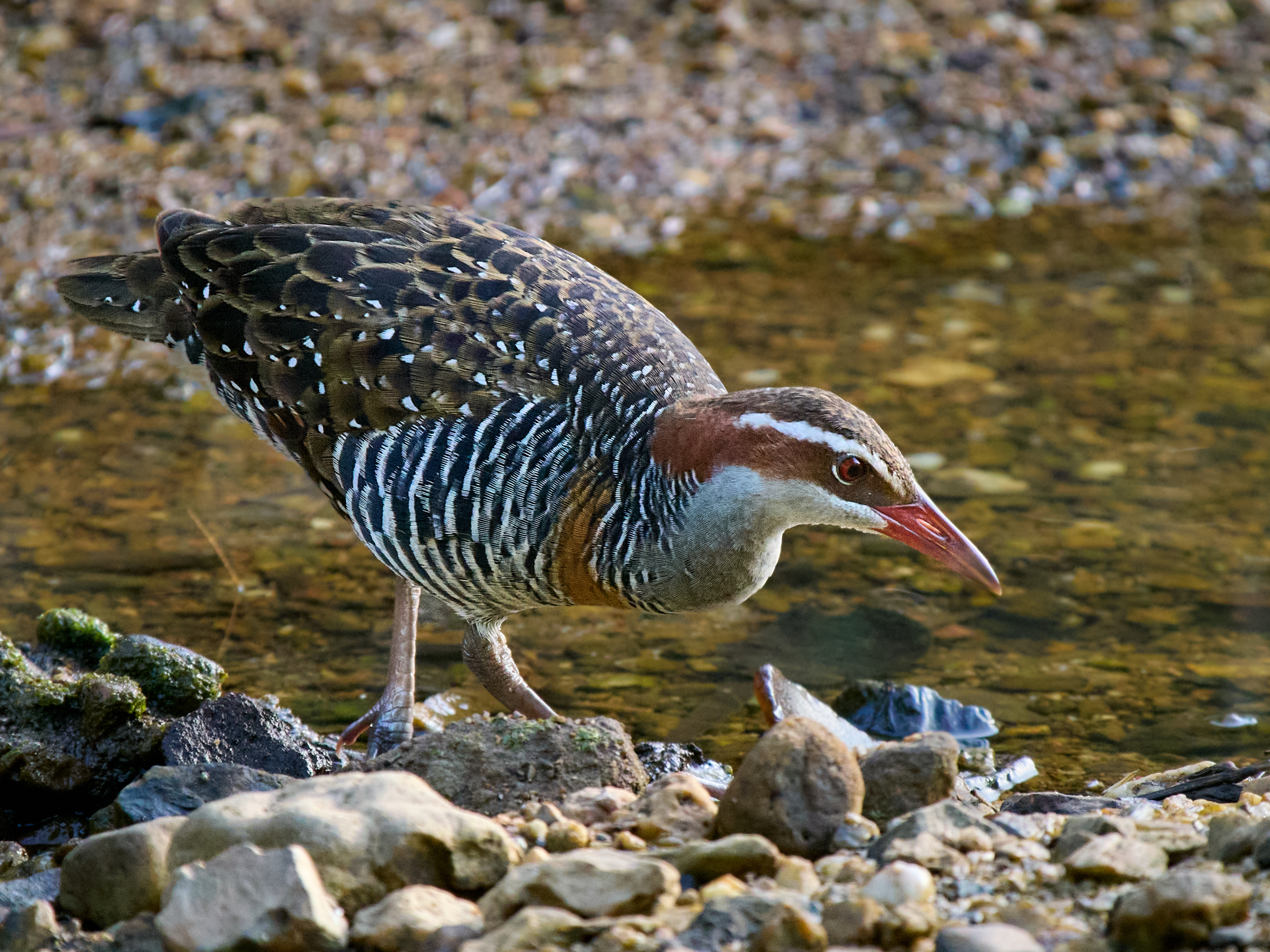
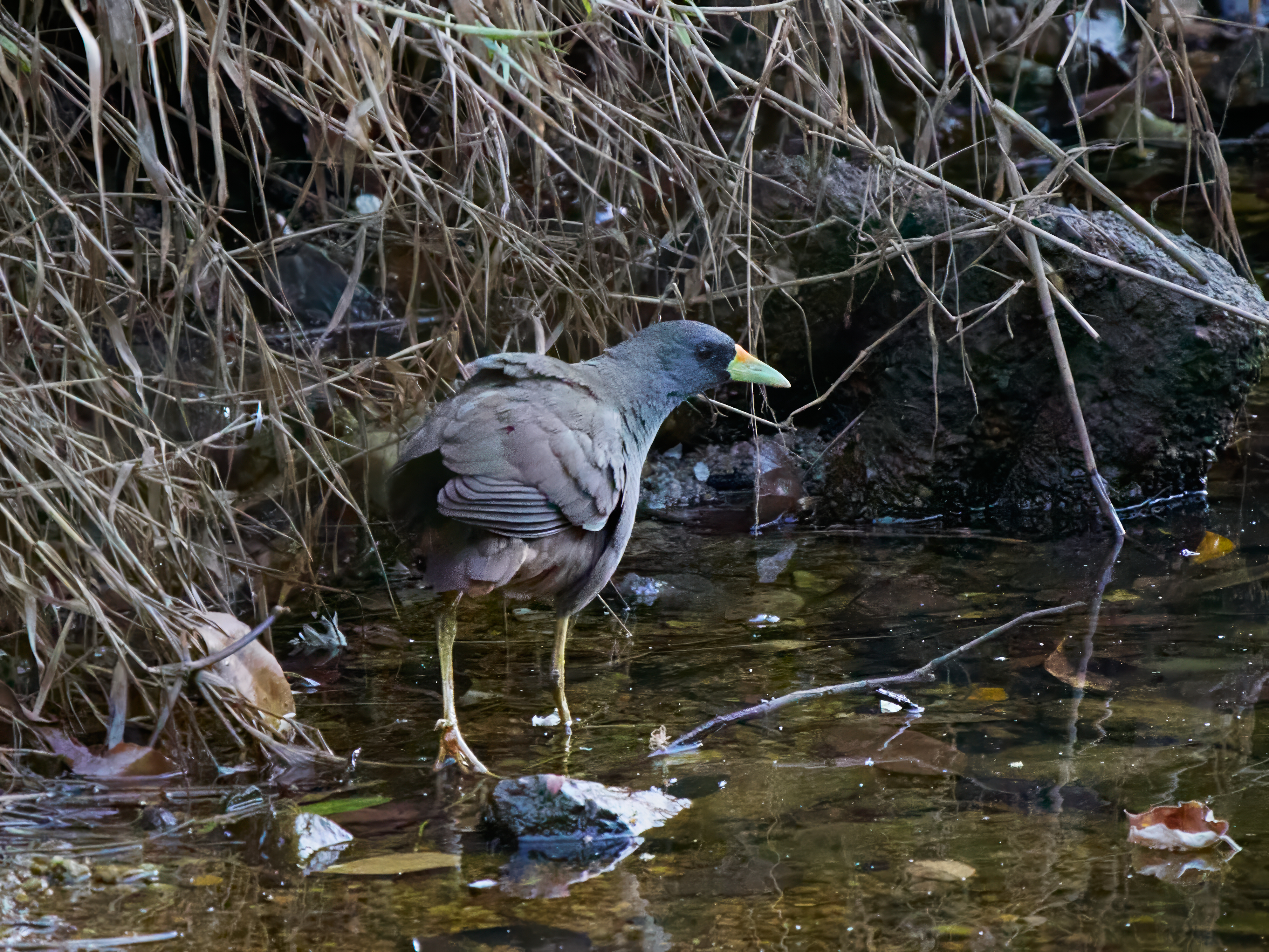
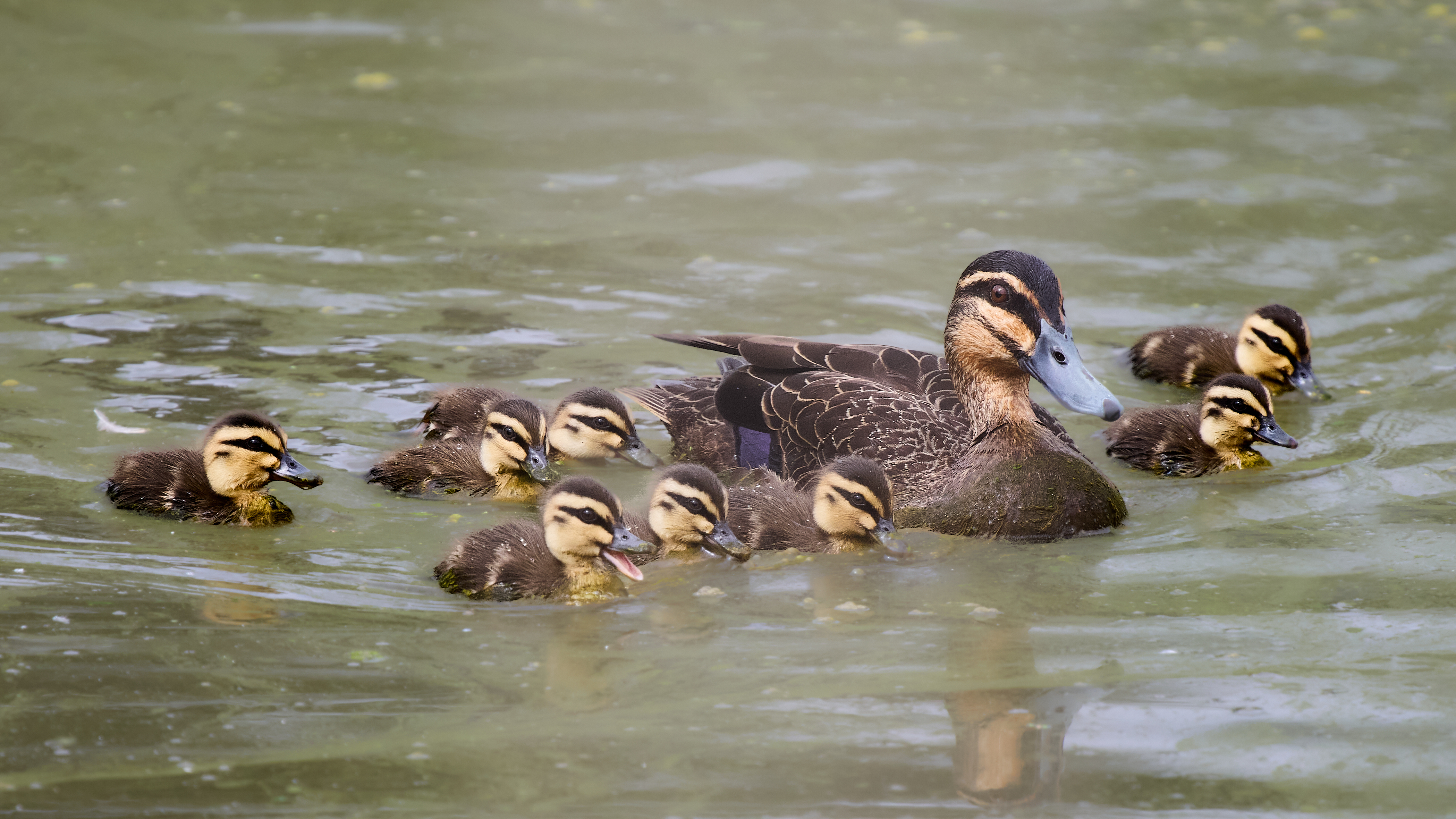
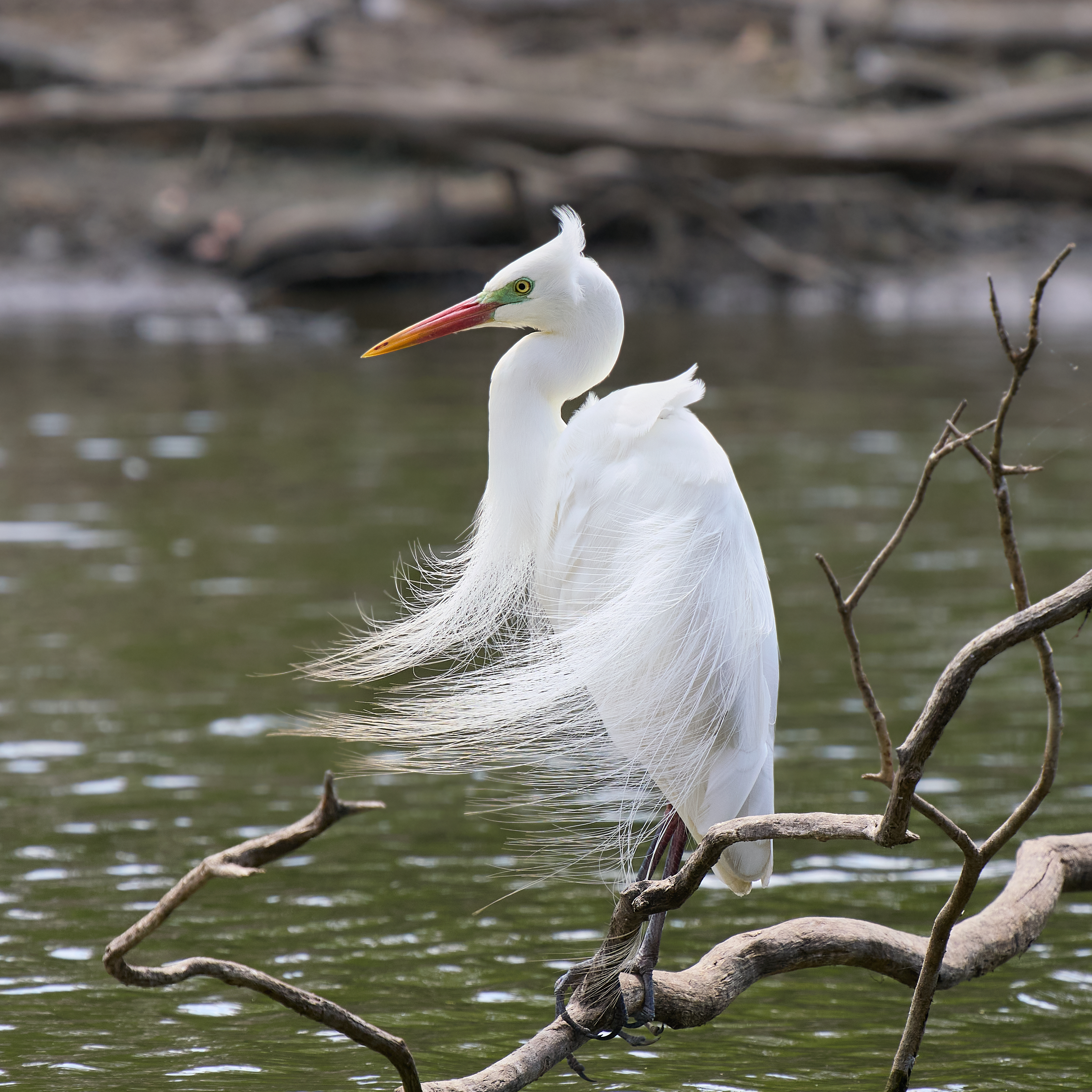
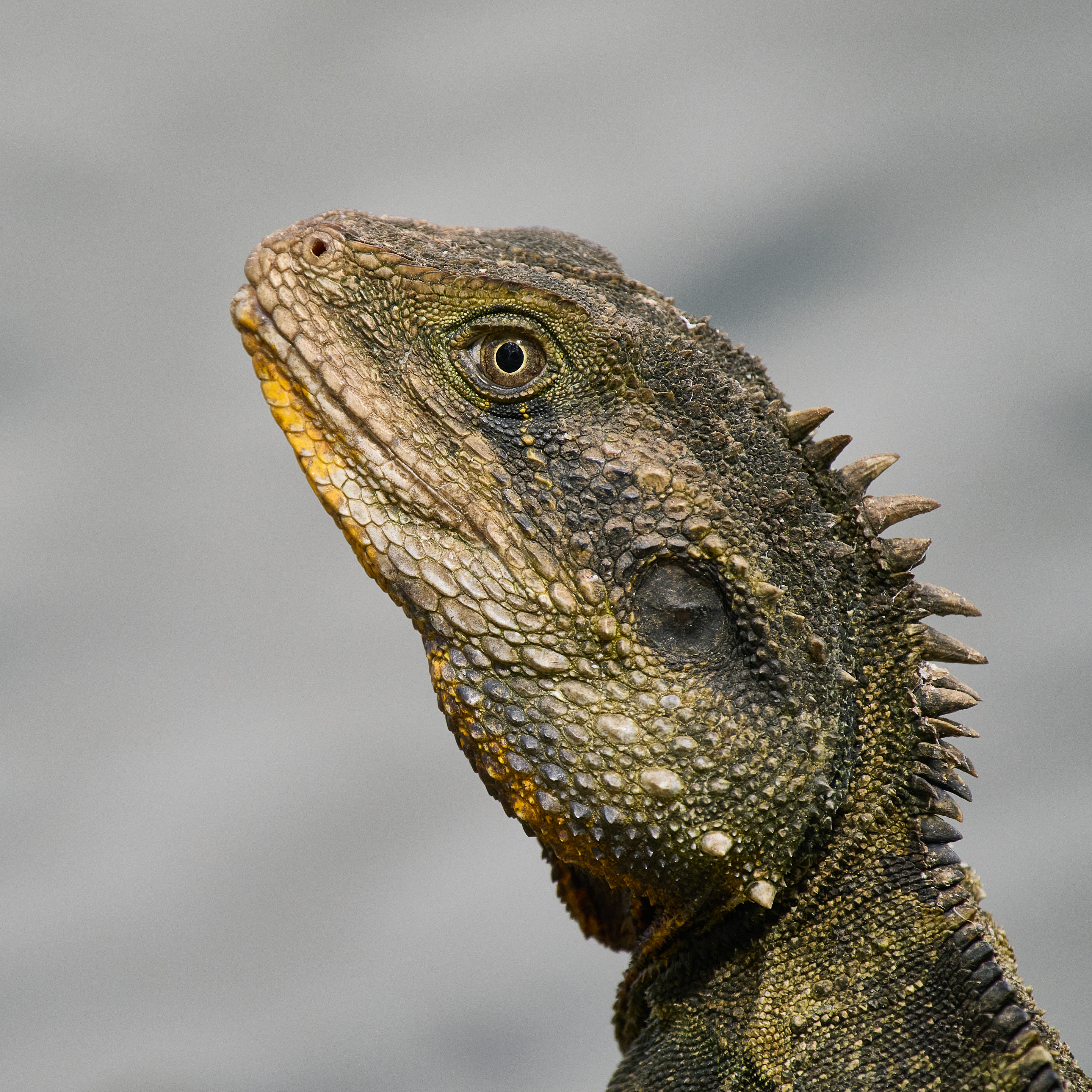
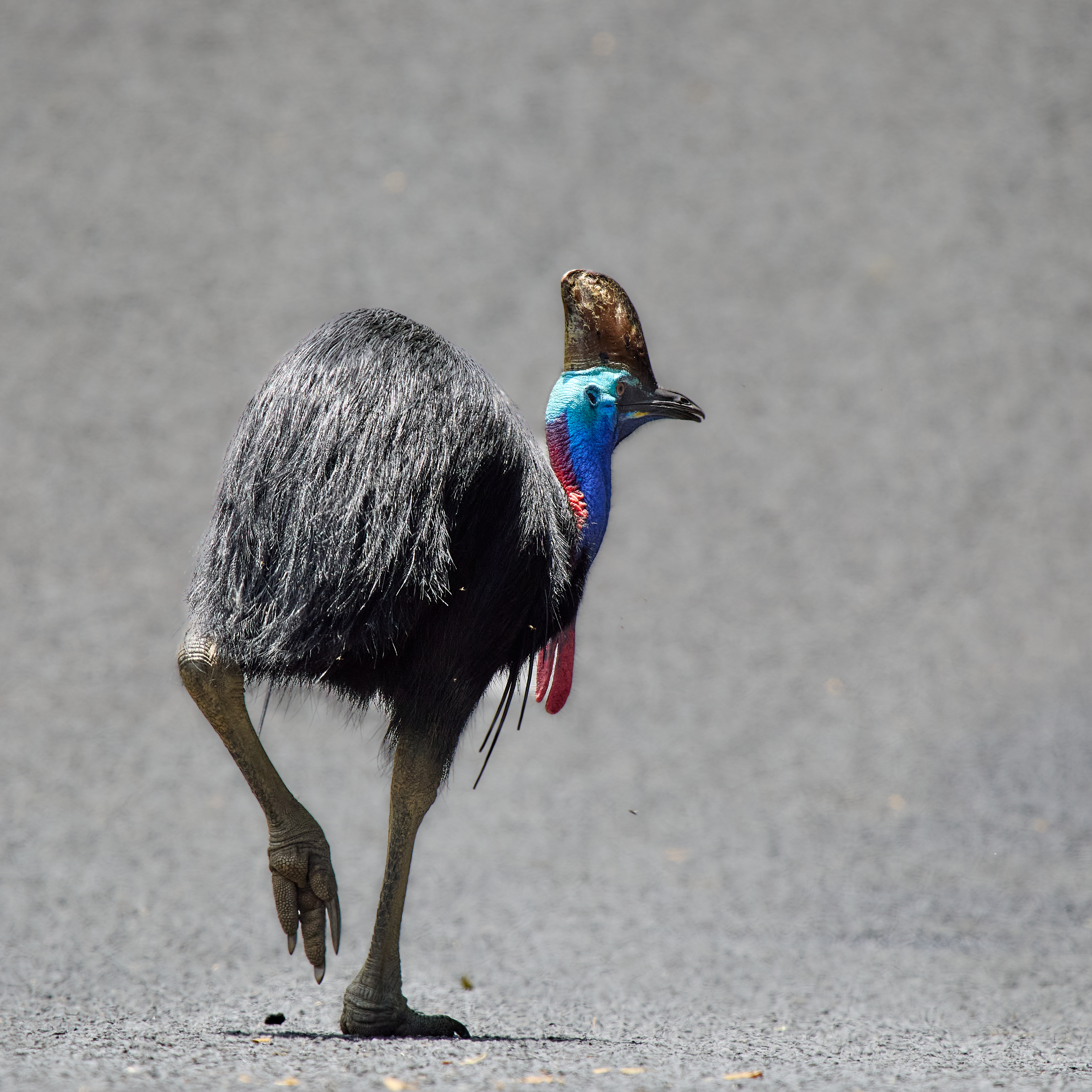
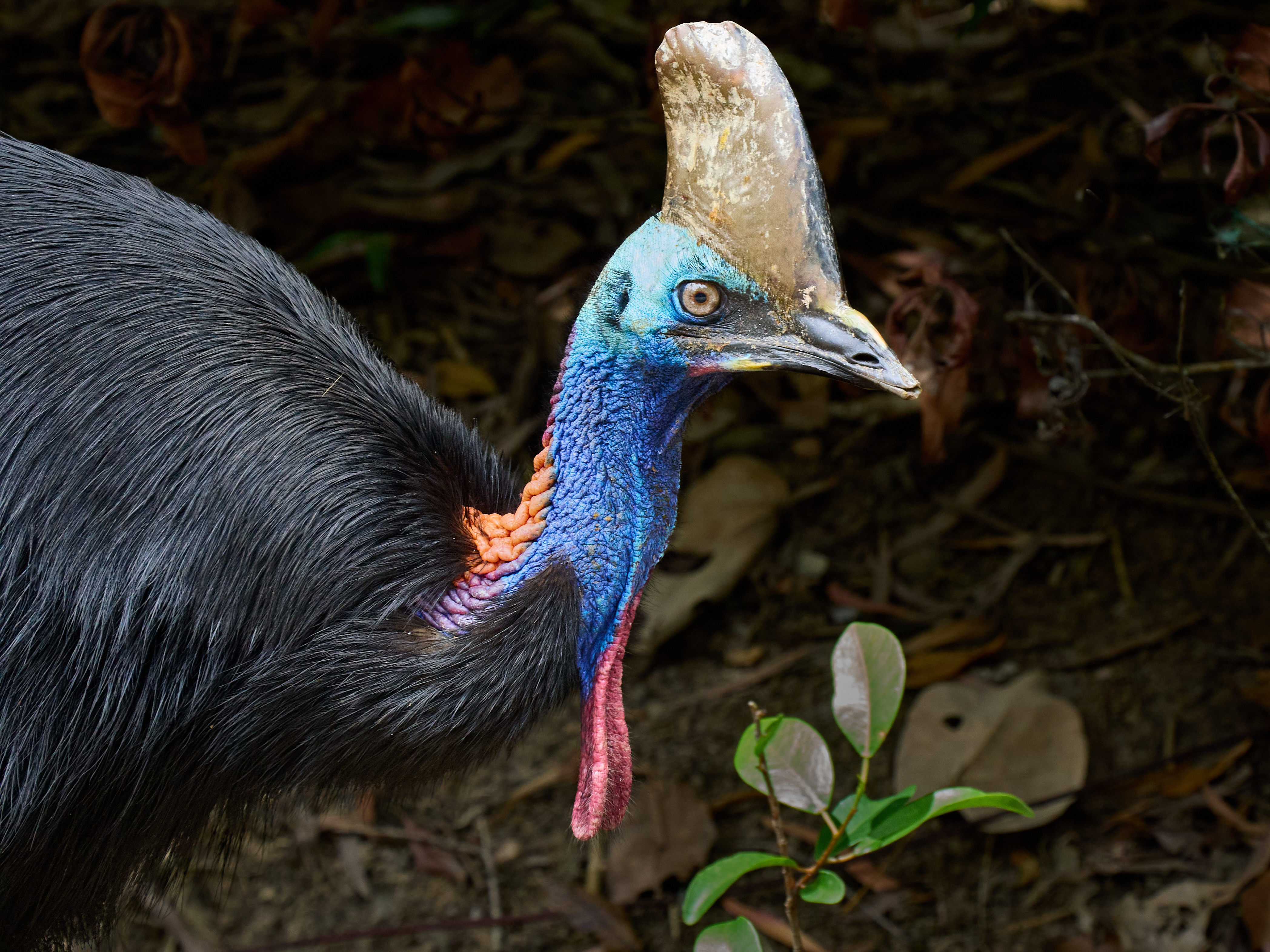
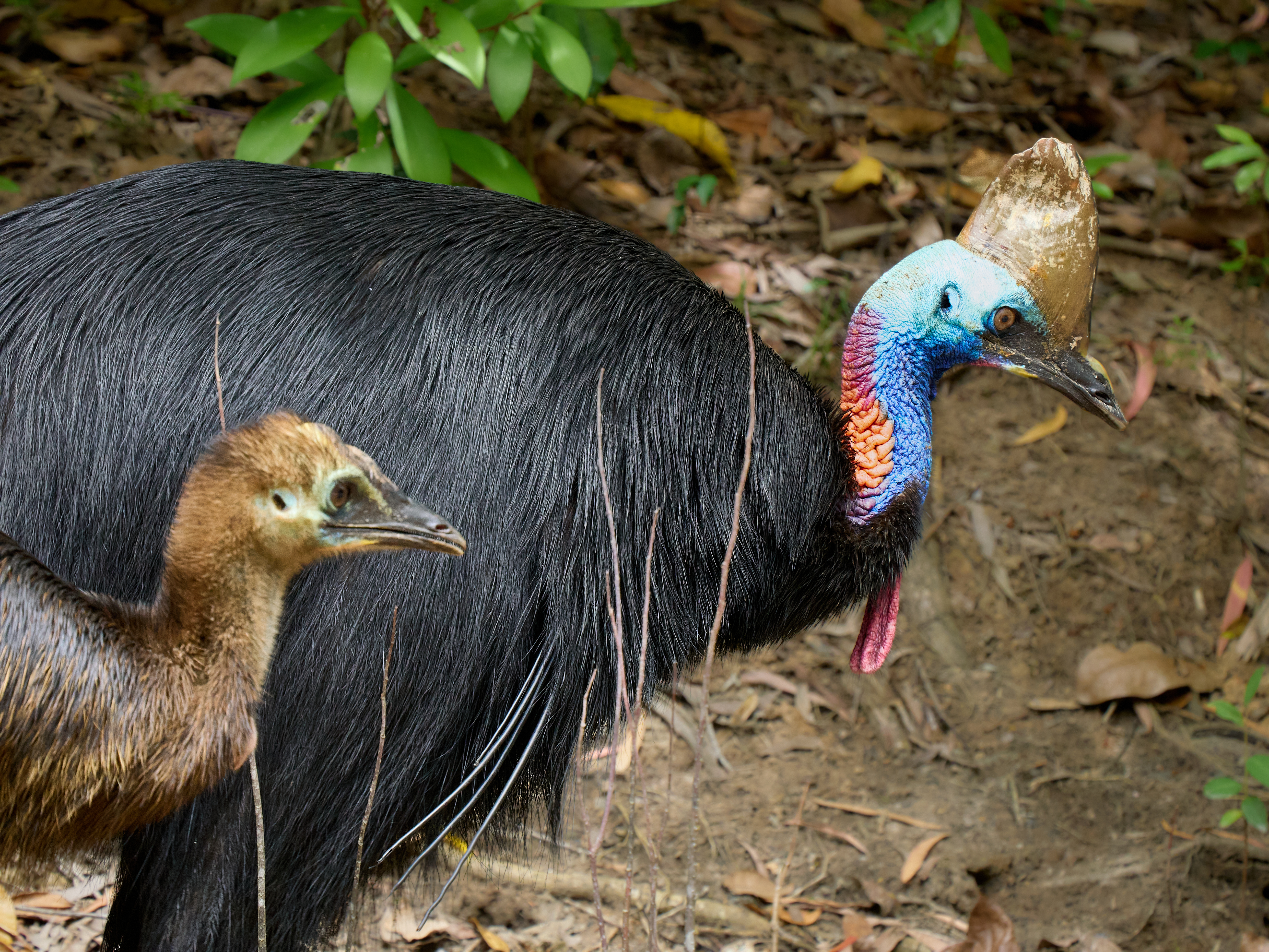
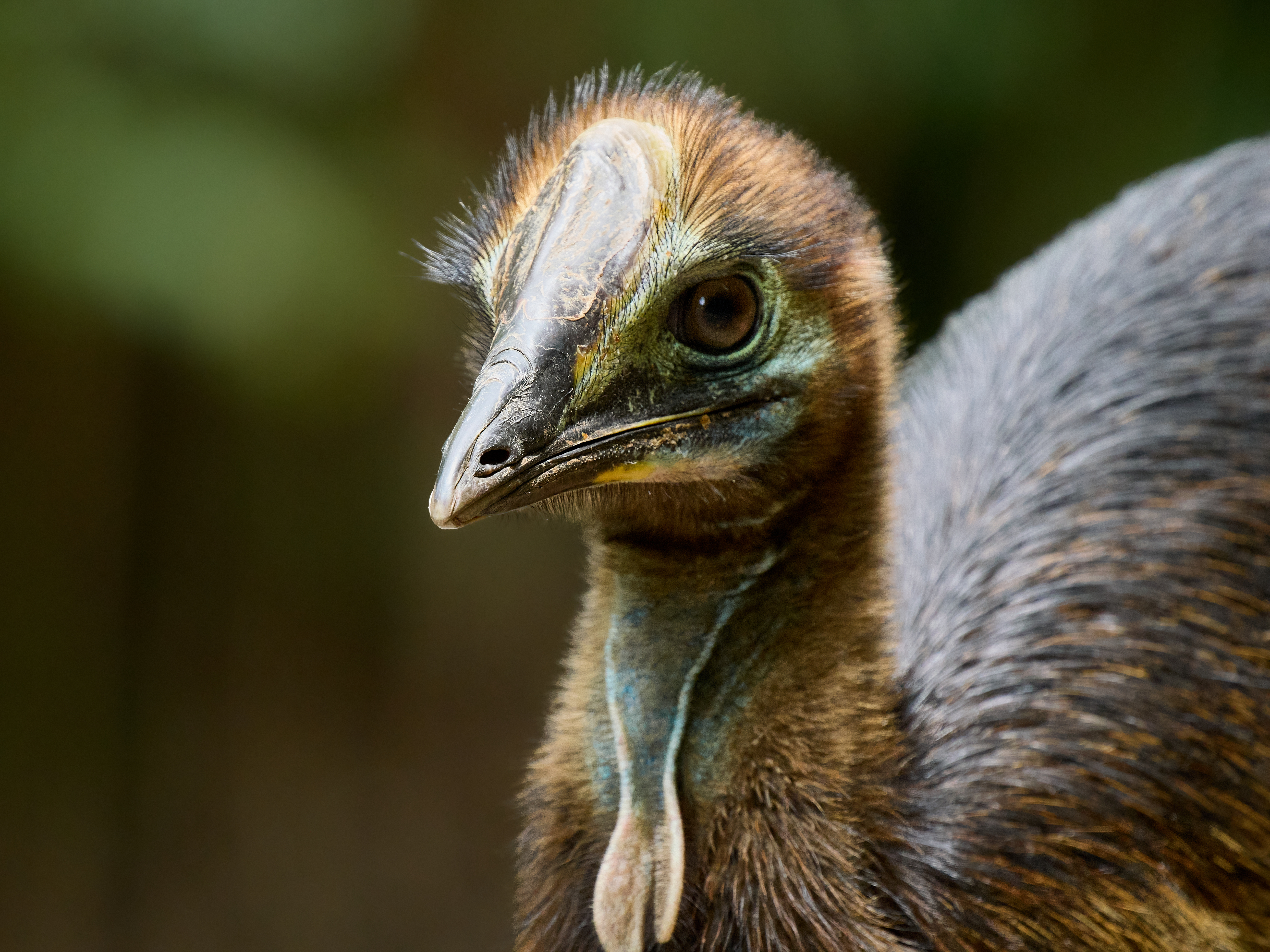
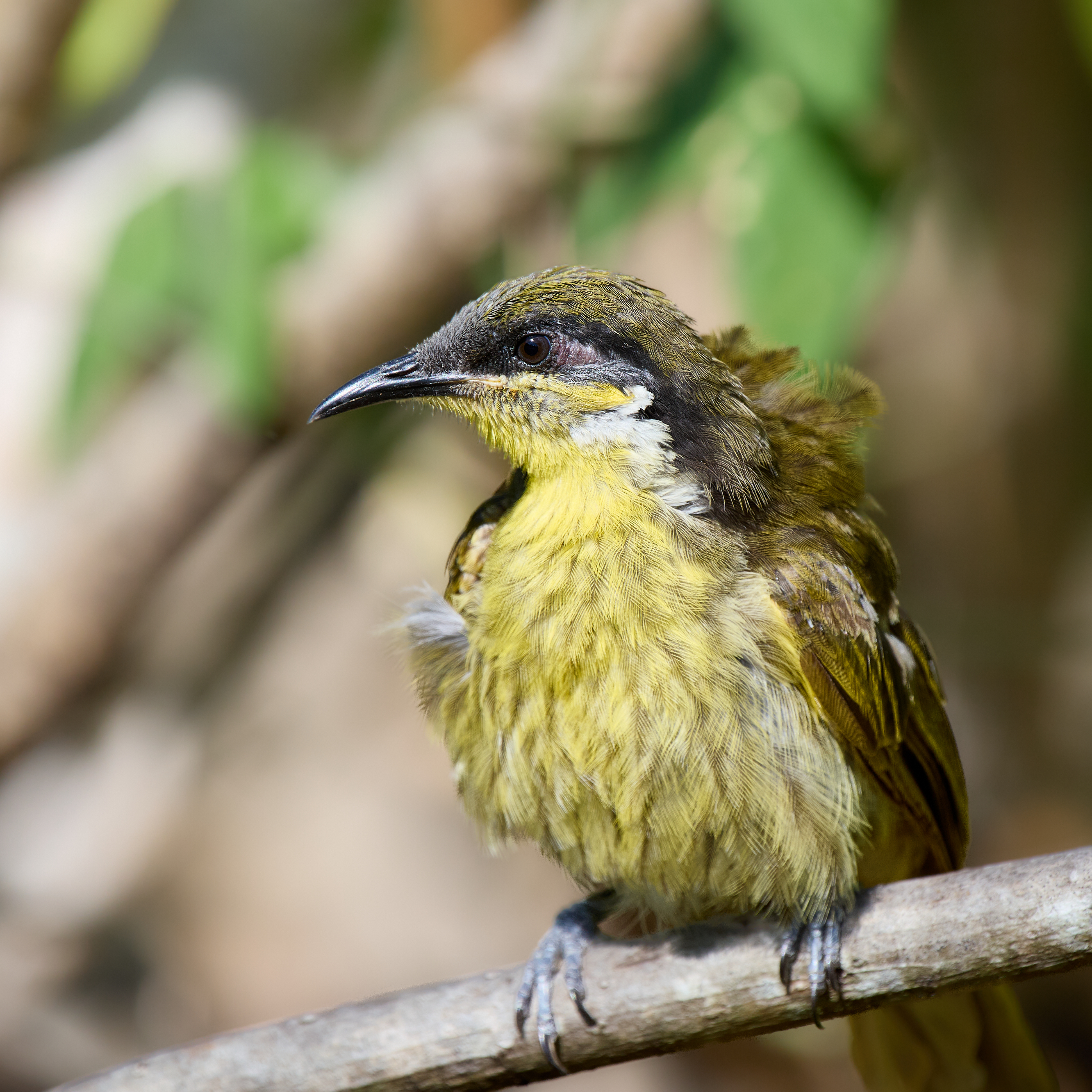
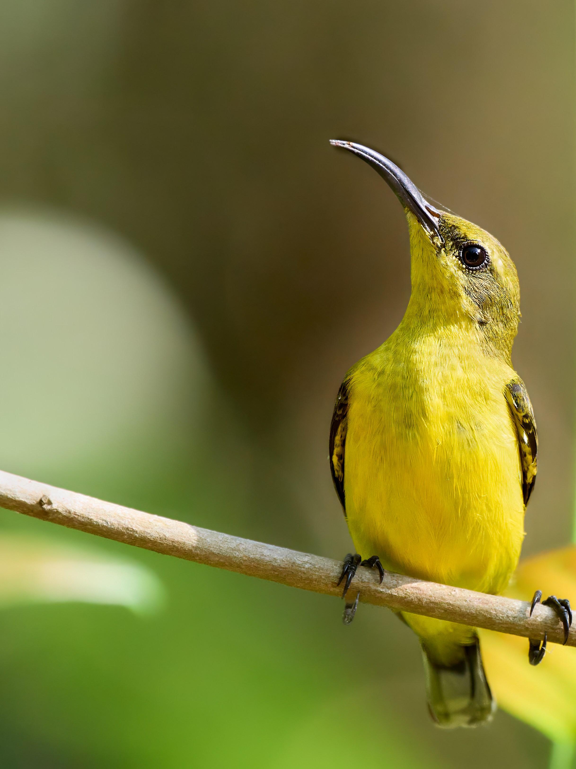
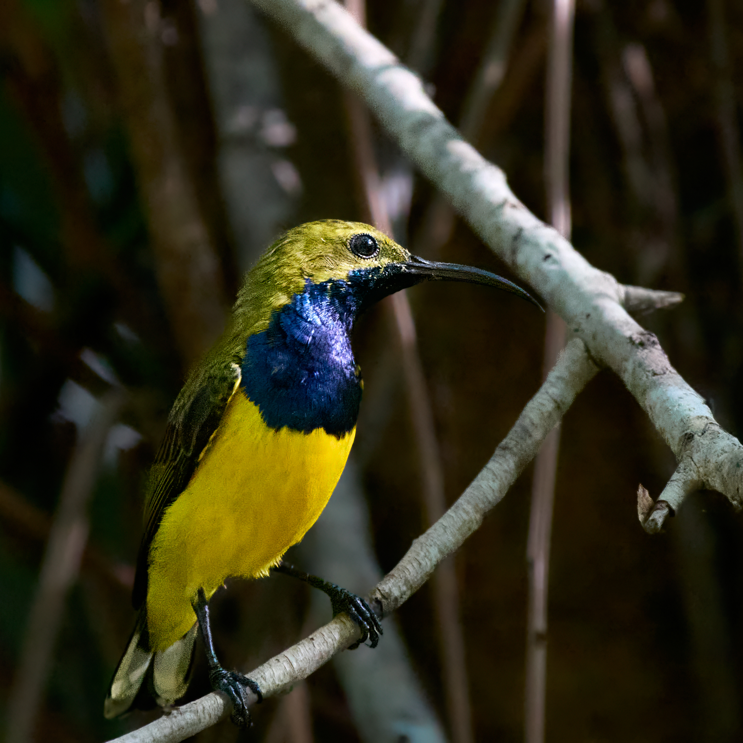
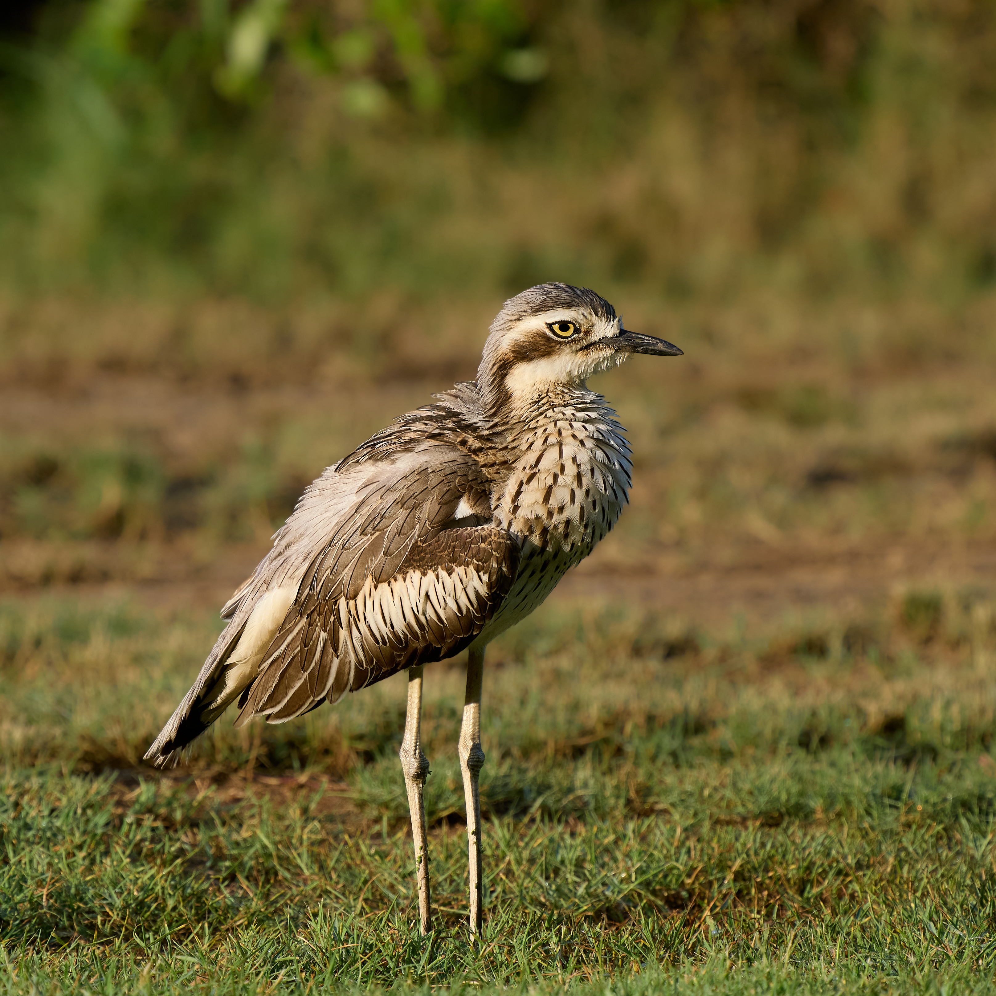
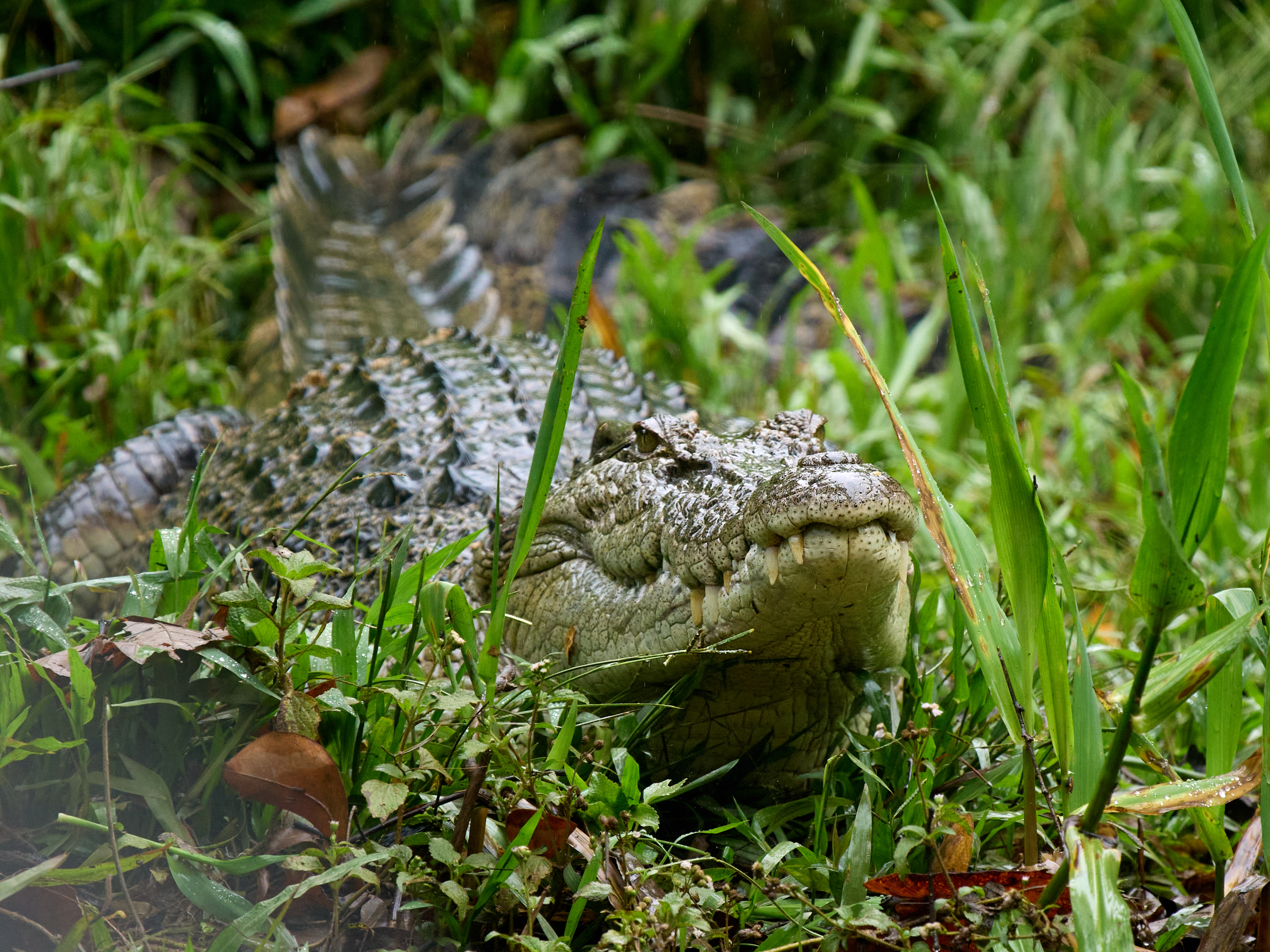
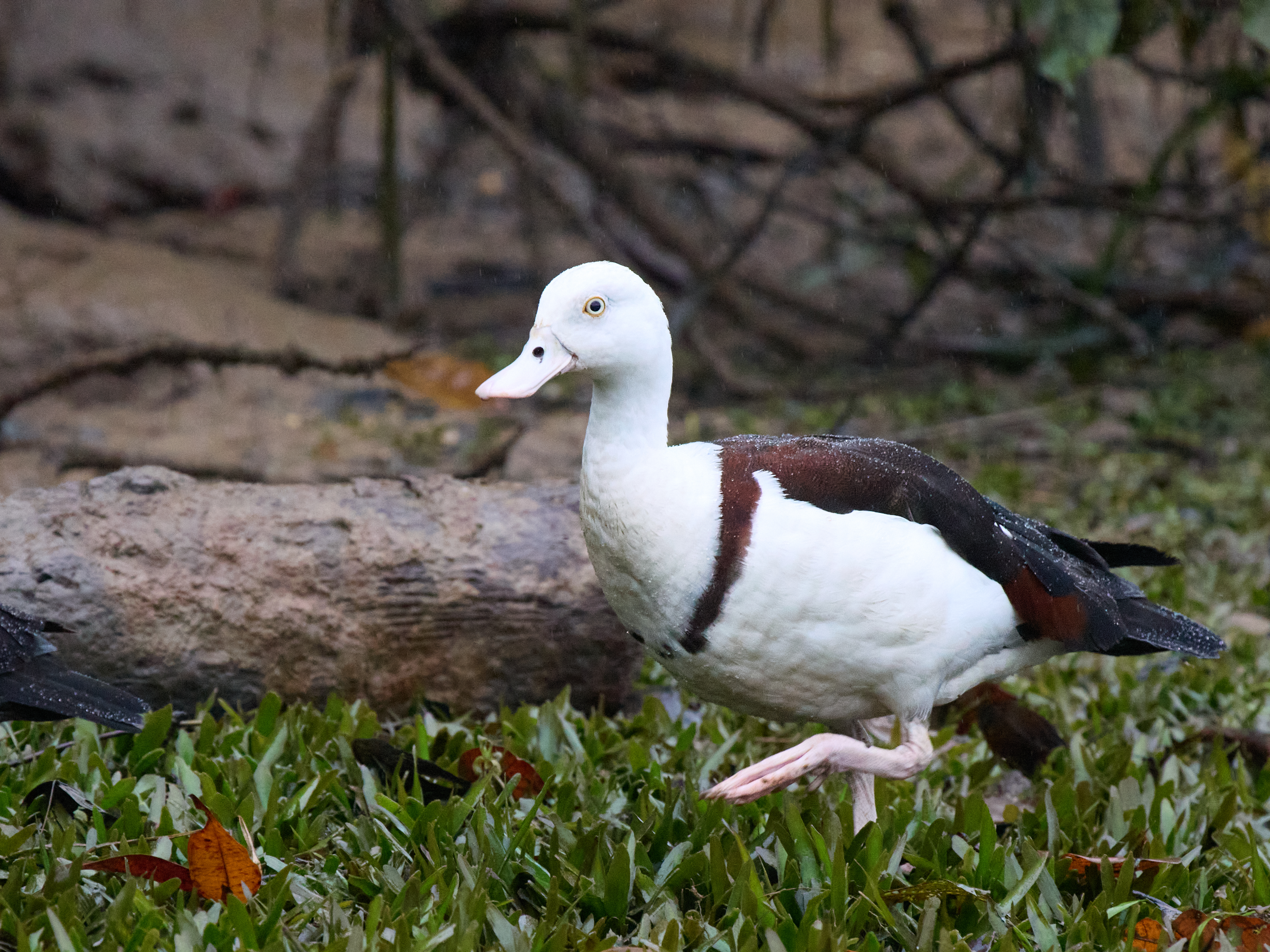
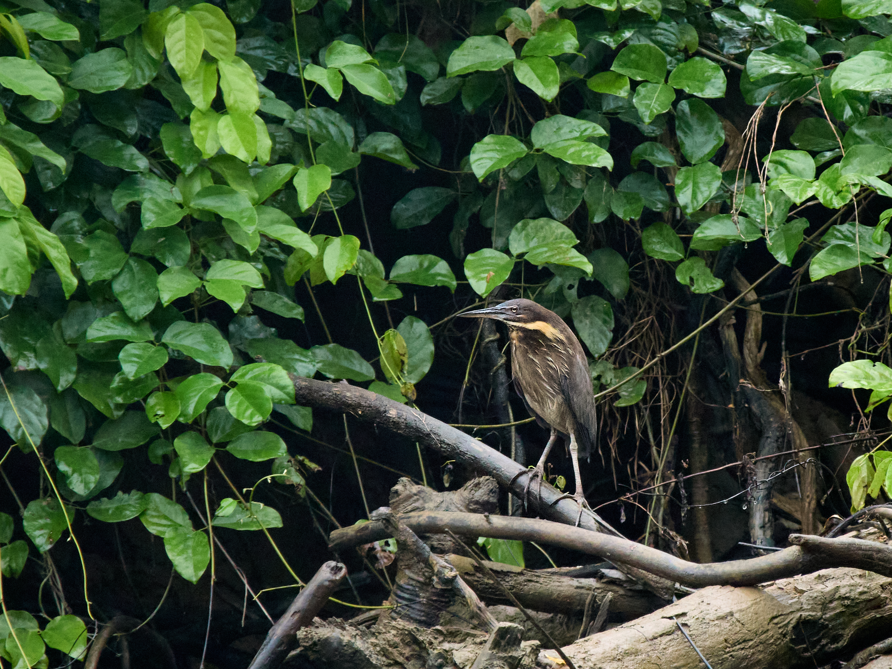
It also has a great diversity of flora and fauna and a great range of habitats. The wet tropics are very wet, the far west is usually very dry and the Gulf of Carpentaria is both alternately. The State bird list (according to eBird) stands at 667 species. Bear in mind some of those are accidentals not residents or regular visitors. I’ve seen 249 of the usual suspects this year. The closure of Mount Lewis put a dent in my expectations and if you really want to clean up you must spend time up at the tip and in Iron Range, Cape York.
We left the wet tropics a fortnight ago and since then have racked up 145 species. The map shows where the binoculars got a work out.

I’m putting the final touches to this post in Port Macquarrie, NSW. Gayle has family here. I drove through pouring rain. It was just 15°C on arrival. That was in daytime, I can’t remember an overnight low as cold as that in Broom’s winter. But there’s no such thing as bad weather it’s just bad clothing. Shame that’s all I’ve got. I may lose a finger or two. Even the birds are laughing at me.