Hell’s Gate …

We spent two nights at Borroloola. The first afternoon a caravan arrived and we got into conversation with the owner. Typical travelers tales. Where have you come from? Oh, that’s the way we’re going. How was the road?

The road, he said, was bloody awful, the bull dust had him fighting the steering wheel, the dips were ferocious, the corrugations were bone jarring. Would we like a look in the van?

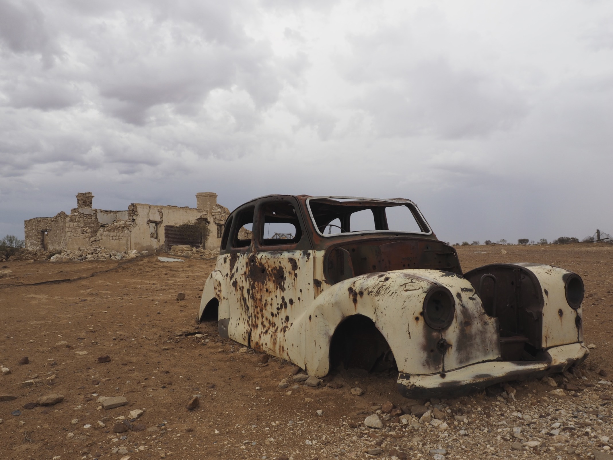
It was a scene of devastation. The drawers and their contents were strewn across the floor. Red dust lay on everything. His car was in no better condition, the rear window was broken, red dust covered the interior. He was quite upbeat about the situation. He had survived the battle. Among the fragments of celebration he did mention 80 kph, getting airborne and that he never reduced his tyre pressures. It caused us some concern. For us, not him.

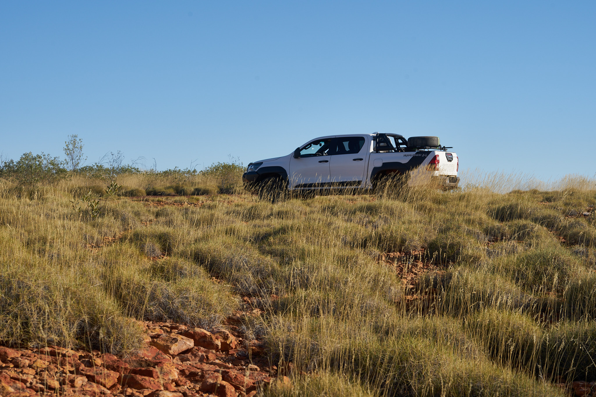
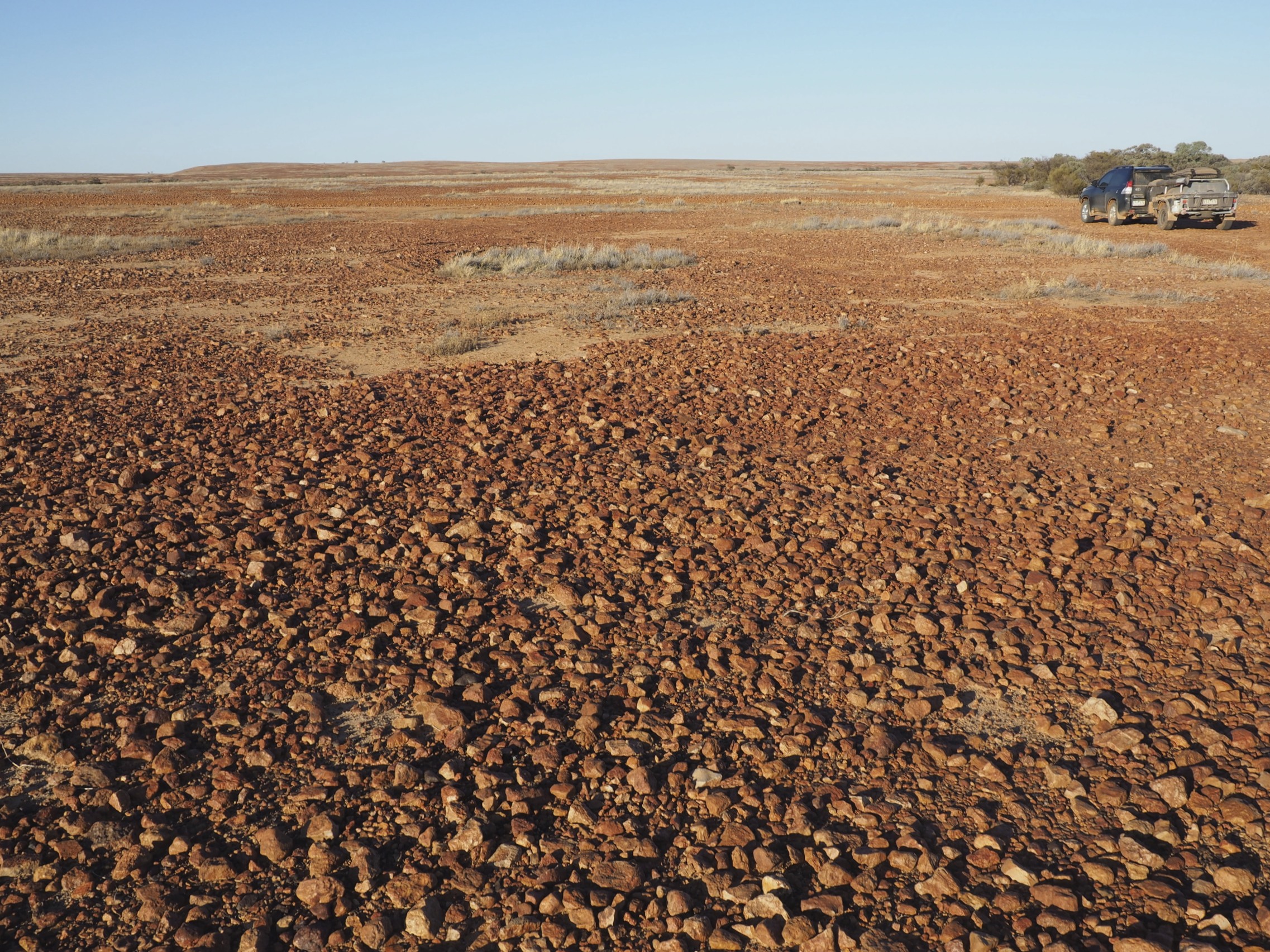
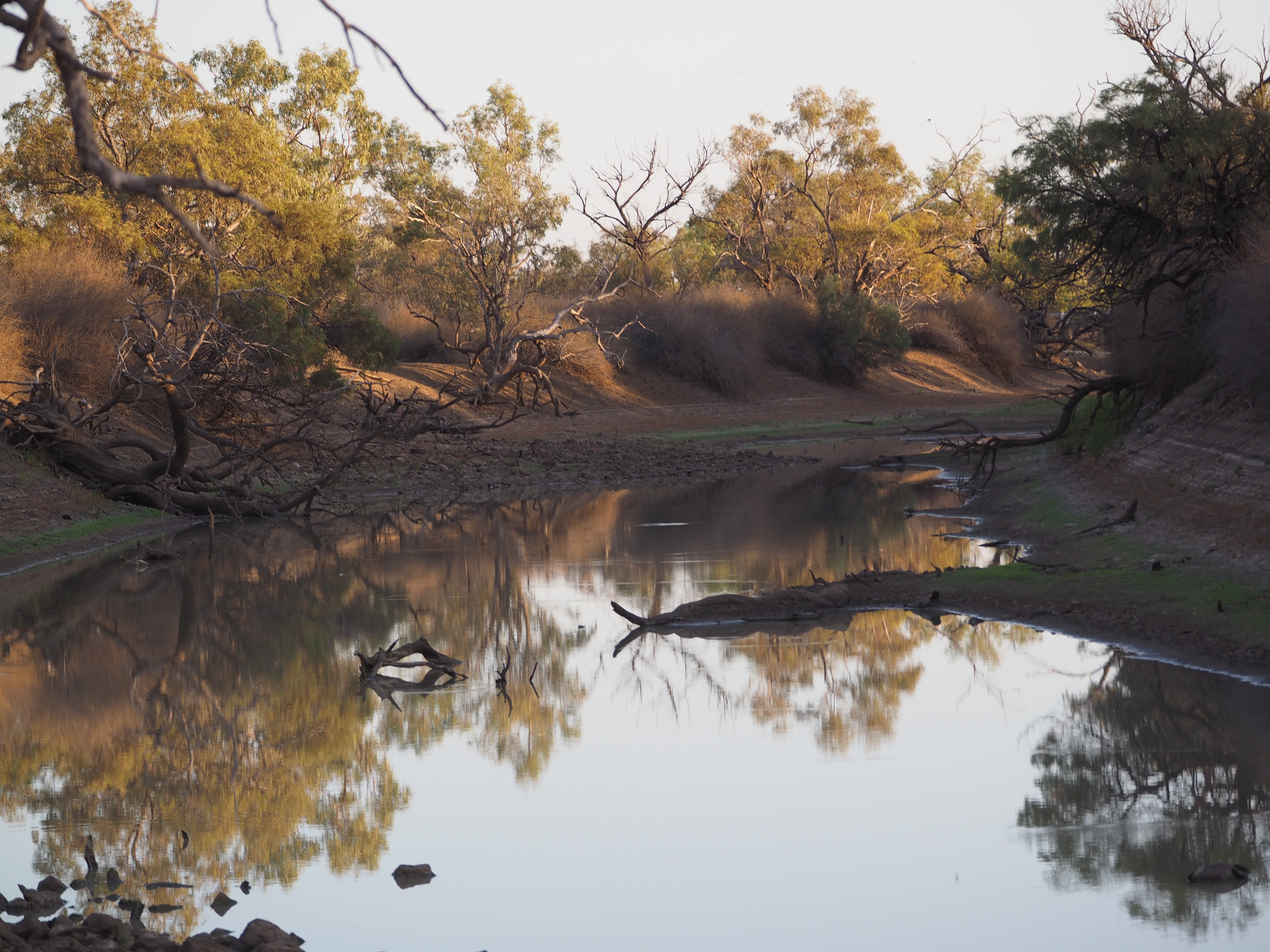
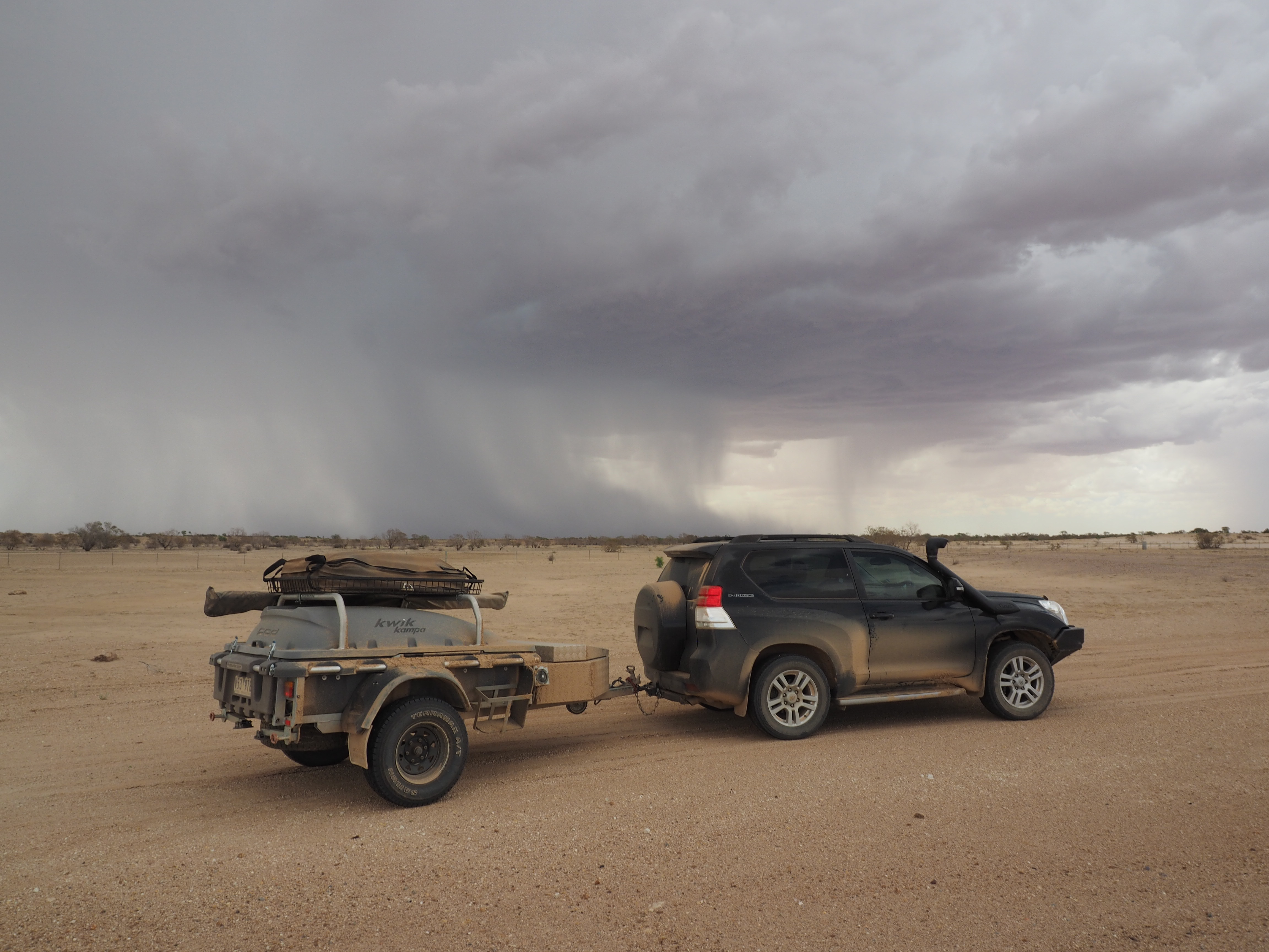
When it was our turn Gayle prepared the inside of the van with great care. When we got to the dirt road I let the tyres down 25% all round and we proceeded at moderate speed. 317 km to go. The creek crossings were mainly dry, the dips in and out were taken slowly. The bulldust was avoidable or manageable at modest speed. The corrugations were corrugations, choose the quietest route and vary speed to suit. Conditions varied with the underlying substrate, some sections were rocky, some sandy. There were two wet creek crossings and a couple of puddles to negotiate.

We had intended to take two days for the journey but progress was better than expected and at lunch time we moved the goal posts and went all the way to Hell’s Gate. No damage. No dust. No drama.

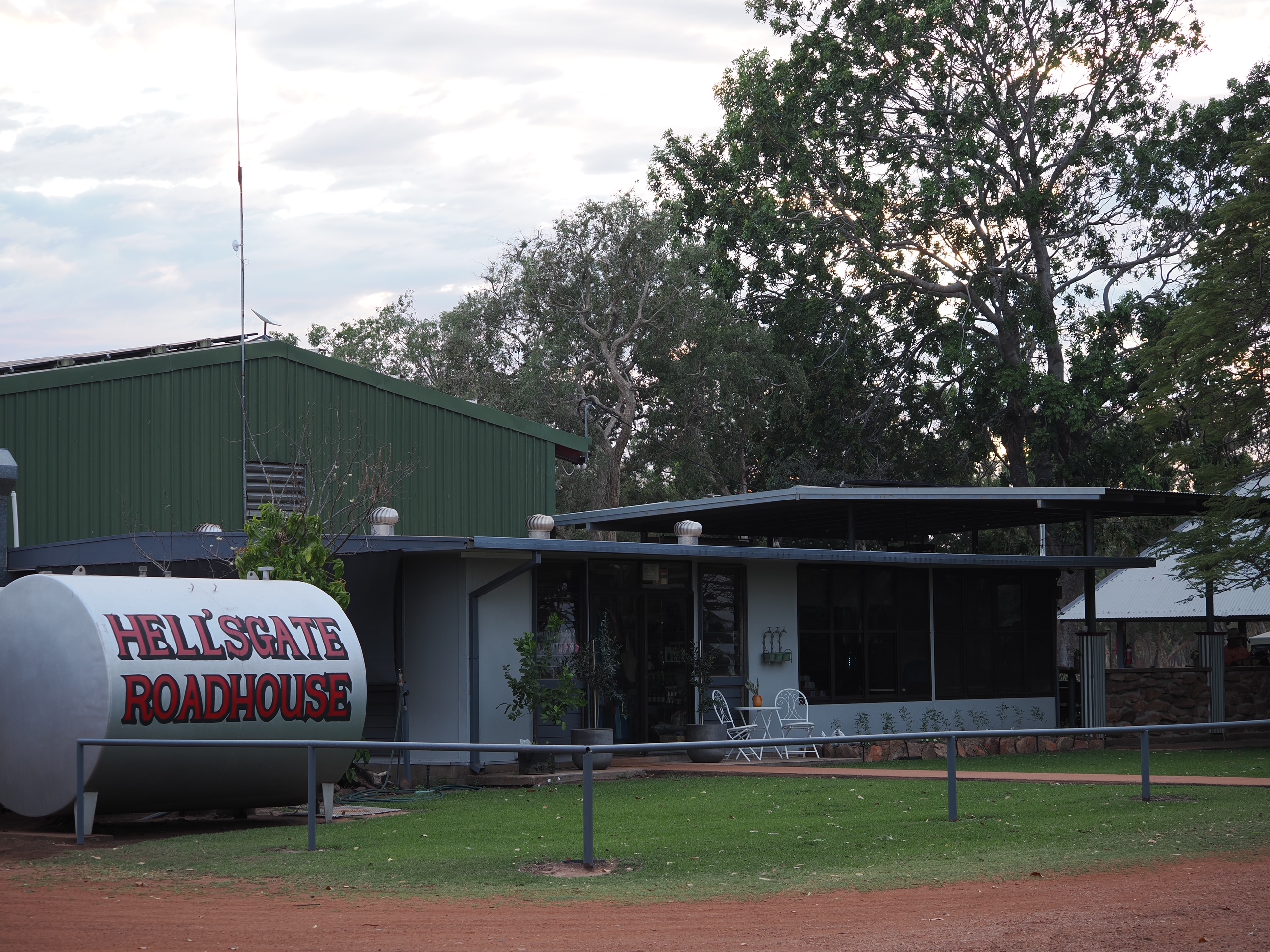
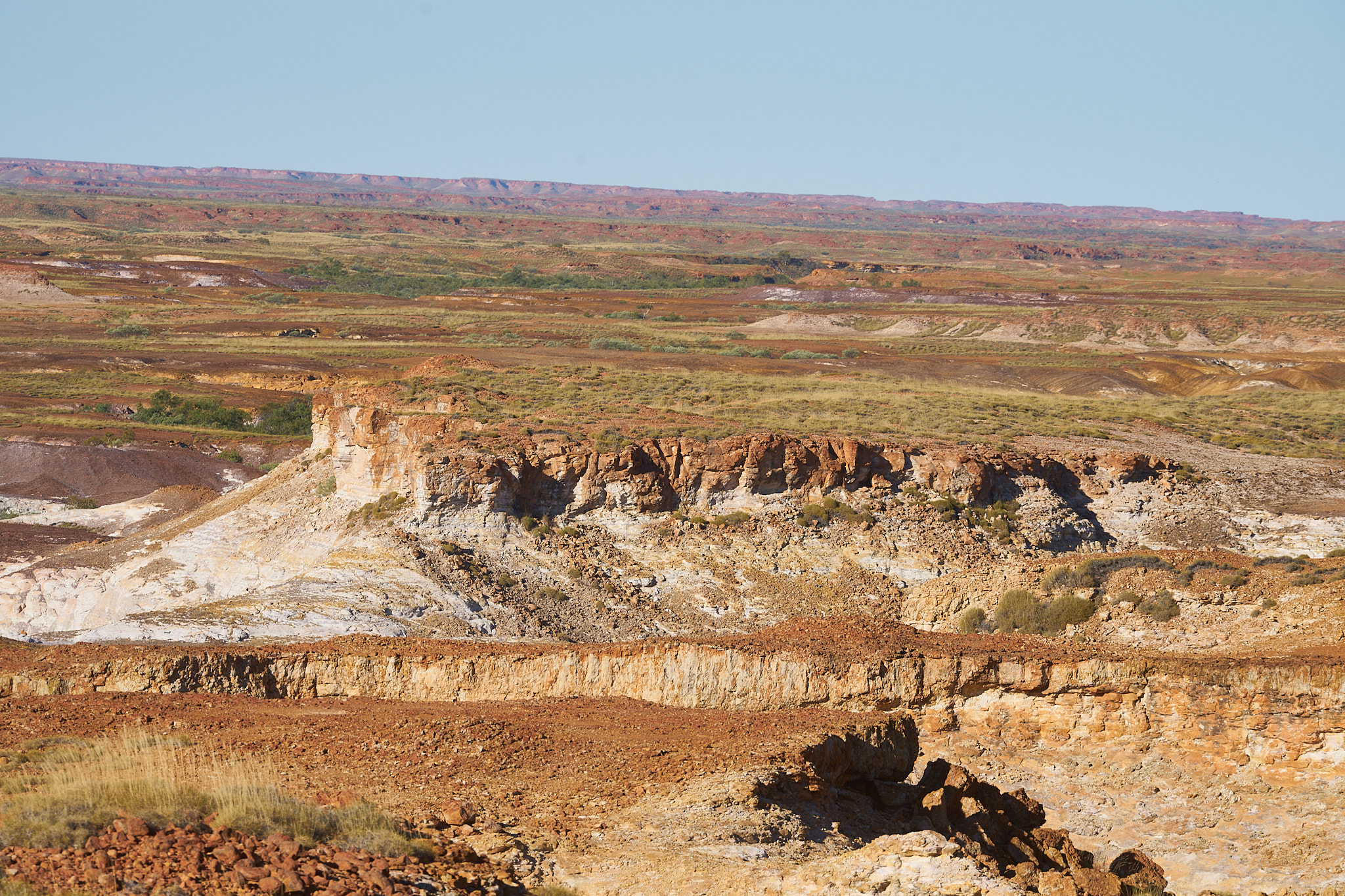
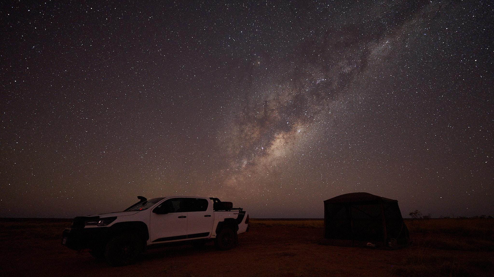
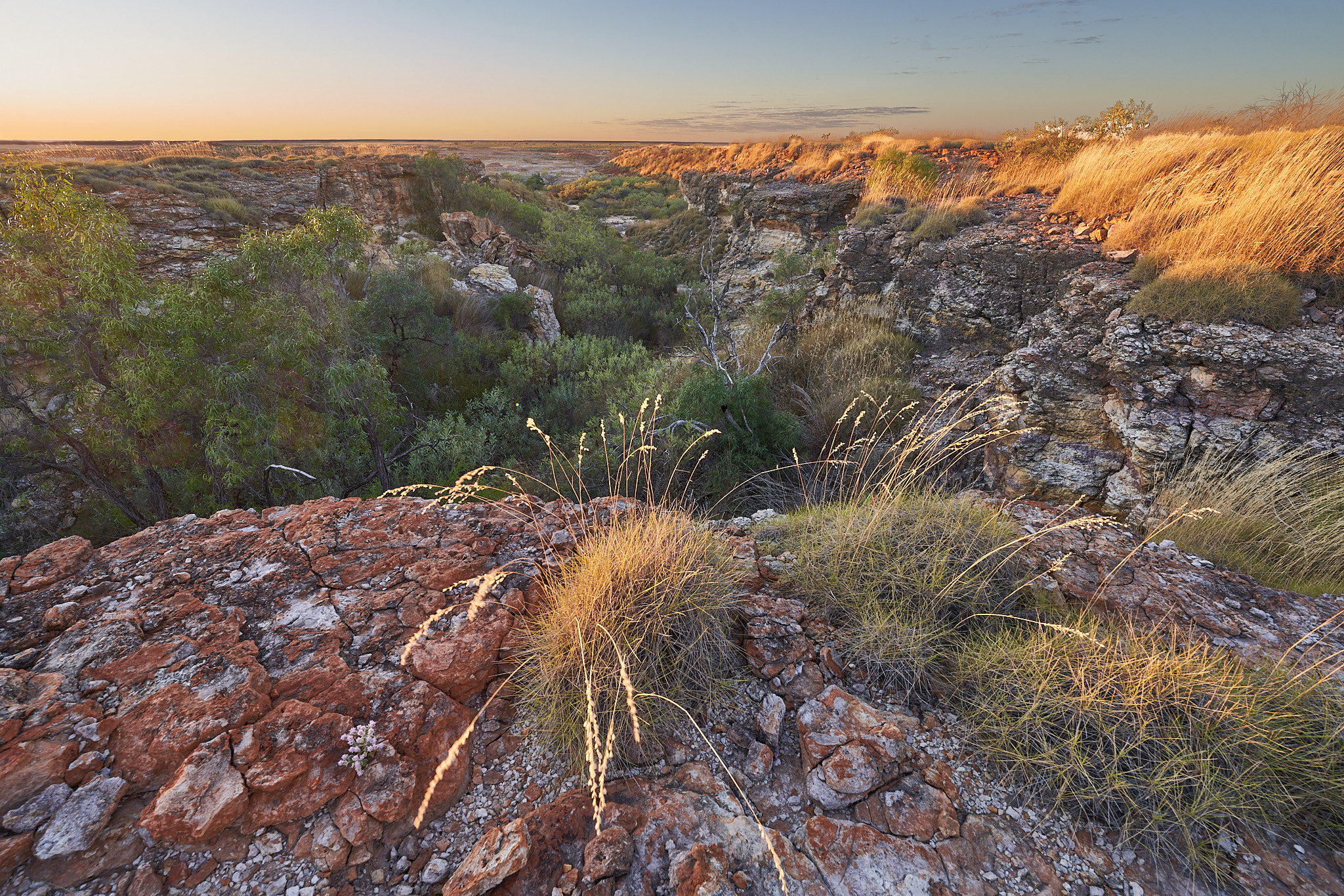
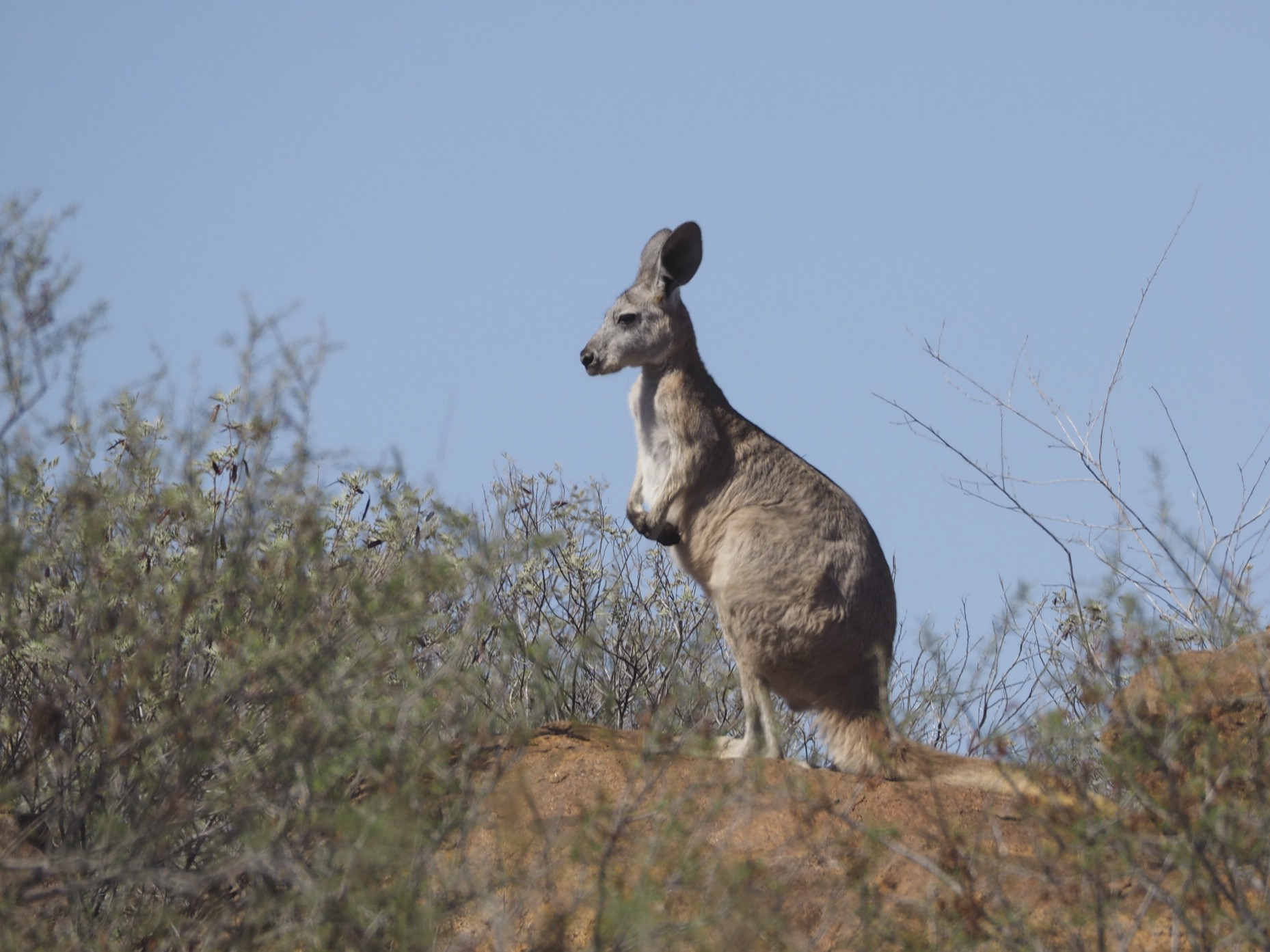
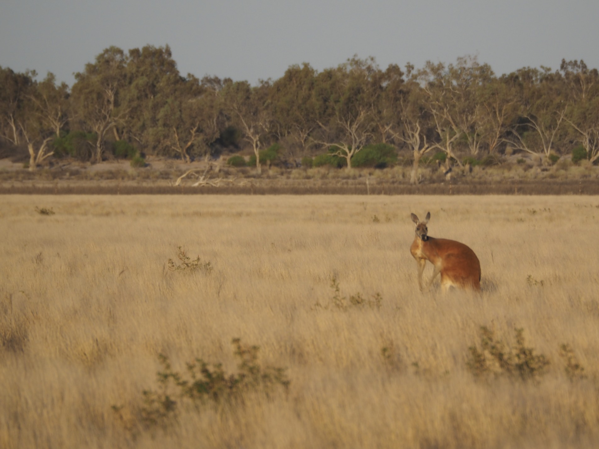
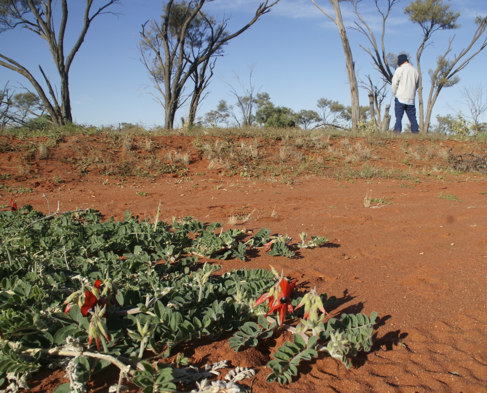
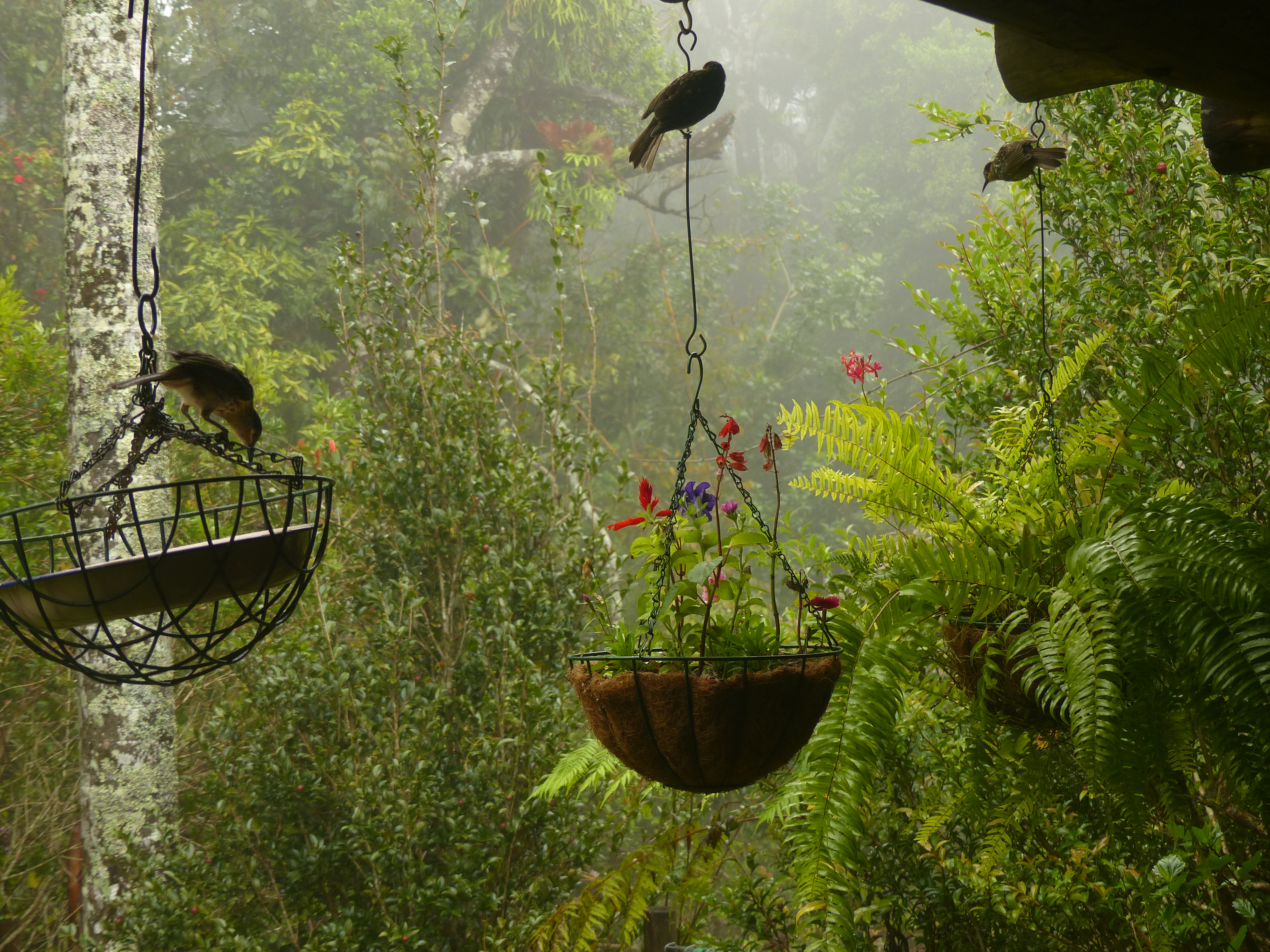
Nothing like hell or its gates. A pleasant campsite by a bore fed pond. The odd Agile Wallaby and Antilopine Walleroo passing by.

Welcome to the Outback …

When I write about interesting places and I’m diligent in getting the posts up regularly my readership grows. If you’re new to these pages welcome, to my regulars welcome back. In either case thank you for coming.

I live in Broome. Top left hand side of the map of Oz. Many non Australians think that Australia is permanently hot and sunny. Broome is exactly that. Except when it’s pouring with rain. That happens in our summer … Occasionally.

About 15,000 people live here and we get plenty of visitors in winter because the truth is that Australia’s climate in more southerly regions is not warm and sunny all year round. Our tourists have barely thawed out by the time they get off the plane. We are about 10 days past the winter solstice. Today’s forecast maximum is 31°C (88°F) tonight’s minimum 16°C (60°F). It’s not going to rain.

There is just one road from Broome to the rest of Australia. About 35 km out it branches. Turn right for Perth, straight on for Darwin. Turn right and you’re heading south, the next town is Port Hedland, similar population, 610 km! Two road houses in between, negligible population. If you go straight on i.e. north-east you won’t get to a town as large as little old Broome until you get to Darwin, 1,871 km away. In between there are a few little towns that would struggle to qualify as hamlets elsewhere.

Why so few people? Because the country up here is permanently hot and sunny. Except when it’s pouring with rain. That happens in our summer … Occasionally. It’s a desert. Annual rainfall less than 250mm. Annual evaporation would be 3 to 4 meters if there were 3 to 4 meters available!

There are apparently ten deserts in Australia although I am unsure how they decide where one ends and another starts. The local desert is the Great Sandy Desert, a testament to the imagination of our forefathers (and yes, there is a Little Sandy Desert, you’ll recognise it when you see it. It’s only half the size. Also a Stony Desert). The Great Sandy (267,250sq.km) is our second largest (to the Great Victoria at 348,750sq.km).

About 200 km from home via a very lonely sandy track there is a gorge that I have been meaning to visit. I went out there for a couple of nights last week, camped alone, in the spinifex, under the stars on the lip of the canyon. Very biblical, only 38 more nights to go. Can they be served cumulatively or do they have to be accrued in one go?

Broome is the administrative capital of the Kimberley region (which is northeast of here before you get to Darwin). In my view it ain’t really the Kimberly until you get among the Boab trees (not just street plantings, real Boabs). Anyway, that’s where I’m going. If I get the chance to post along the way I might drop in a teaser otherwise I’ll subject you all to the photos when I get back in a couple of weeks. Ciao for now.

Green Lizard dreaming …

The Birdsville races should have started today but the track is underwater. The ABC reports …

Birdsville Race Club vicepresident Gary Brook said the main Birdsville Cup race would now run on Sunday, a day later than planned.

“With the water that was laying on the track after 50 millimetres of rain overnight, we needed sufficient time to let the track dry, get the mud off, make sure the track was dry and safe and really, to race tomorrow – there just wasn’t sufficient time,” he said.

Roma-based pilot Andrew Luhrs flew nine people out to Birdsville, landing on the town’s main strip.

But he could not park his plane on the gravel cross-strip because of the risk of bogging.

He said he was forced to fly to Boulia, 400 kilometres away, for the weekend.

There is very little accommodation in Birdsville. About 7000 people were expected for the races almost all of those people are camping. Some are in the caravan park in town, the rest are out at the billabong or along the Diamantina River. Either way they are up to their ankles (at least) in mud.

No one will give up and go home … when the heavens open the roads close. How long will they be staying?

In 1986 the roads were closed for so long that the pub ran out of beer. The patrons were reduced to drinking Creme de Menthe and lemonade AKA the Green Lizard. Good luck, guys.

Fort Grey to Menindee …

In one day we travelled the ground that Sturt had needed more than six months to cover, travelled further than William Wright’s resupply mission had in three months.

We took time out to poke around the rocks outside Tibooburra where we found this Euro guarding his patch …

Euro

… and then headed south through the mining town of Broken Hill. Clearly a town whose street planners could not imagine anyone traveling beyond it. Every road in seems to peter out in a maze. Then down the Silver City Highway. We drove past the turning to Mutawintji where Becker had sketched the waterhole. Burke had taken a dislike to Becker and had done his damnedest to cause him to give up but Becker stayed on and sketched until his strength and then his life was lost.

Mutawintji - Becker


William Wright left his initials here. He was scapegoated in the enquiry that followed the Burke and Wills debacle. There were good reasons for the delay in setting off on the resupply effort but the effort itself was undistinguished. It’s hard to feel much sorrow for a man who would do this …

WW

We spent the night on the banks of the Darling in Kinchega National Park, we visited the homestead where William Wright was once the manager, we went to Lake Cawndilla where Sturt and his men, including the indomitable Stuart camped. We drove through Menindee where Burke, Wills and company had drunk at Thomas Paine’s hotel.

And the next day we drove back to Victoria.

Sturt …

At Cameron Corner it would be possible, if you can bend it like Beckham, to stand in South Australia and kick a ball slightly east of north that traveled into New South Wales, crossed into Queensland and then curved west back into South Australia. Or you could just have a beer at the Corner Store, a pub standing all alone in the desert.

When you cross the border into New South Wales you enter the Sturt National Park.

Charles Sturt left Adelaide in August 1844, travelled north to the Murray River, followed it to the junction with the Darling and then followed that north east. When he left the river it was to head north to Lake Cawndilla, close to modern day Menindee subsequently made famous by Burke and Wills. Sturt thought the river banks would suit graziers well and was proven right quite soon after his return.

From there the going became a lot tougher. His party made progress by scouting ahead until a suitable body of water was found and then taking up the main party with its livestock. Eventually they reached “a romantic rocky glen of basalt” on which Sturt bestowed the unromantic name of Depot Glen. The country was drying out quickly in the heat of an unusually dry summer. The water behind them was gone and there was none to be found ahead. They were obliged to stay put for six months. Exploratory trips were made and, knowing that the devil finds work for idle hands, Sturt had the men build a cairn on a nearby hill. Mr Poole died of scurvy at the Glen. The cairn became his memorial and the hill is now Mt Poole.

When the rains came Sturt took some of the stronger men and continued north west. He established a second depot in a spot that he called the Park. He left men here with instruction to build a stockade and a stock yard. Sturt made three sorties from here discovering and naming Cooper’s Creek on one, and penetrating into the heart of the Simpson desert on another. He had given instruction to David Morgan “to prepare and paint the boat in the event of her being required.” She was never required.

The stockade became known as Fort Grey, it stands by Lake Pinaroo which fills about once a decade and holds water for a few years. It provided Sturt with good feed for his livestock. It was our campsite for a night. These days it is grazed by Red Kangaroos …

Lake Pinaroo

But for some years graziers eked a living out of the land here. This steam engine brought water up from a bore out on the lake bed …

Bore head

A Central Netted Dragon visited us in the camp site …

Central Netted Dragon

Sturt was one of Australia’s finest explorers. As well as a national park he has a university named after him (from which I have a graduate diploma in ornithology) and Sturt’s Desert Pea.

Desert Pea

and this fine example made quite a splash …

Desert pee

Cordillo Downs …

We tore ourselves away from the Birdsville pub and headed south east. The Cordillo Downs Road leads into the heart of explorer country, the dig tree of Burke and Wills, Fort Grey of Sturt. Hallowed ground. Our route was a little indirect since we were aiming to inspect as many black soil crevasses as we could but our first objective was to get beyond the creek crossings between the Cadelga Out-station and Cordillo Downs station. There were thunder storms all around us, showers had preceded us and more were coming.

Although the creeks running into the desert are usually dry the occasional rains are enough to bring life giving water into what seems a sterile landscape. The creek lines are marked by trees, in between there is mostly no vegetation.  Once we had crossed the last of the channels we camped on the gibber (pronounced with a hard G as in get not like a J) and woke to a glorious blue sky.

Gibber

This is Sturt’s Stony Desert …

The stones, with which the ground was so thickly covered as to exclude vegetation, were of different lengths, from one inch to six, they had been rounded by attrition, were coated with oxide of iron, and evenly distributed. In going over this dreary waste the horses left no track, and that of the cart was only visible here and there. From the spot on which we stopped no object of any kind broke the line of the horizon; we were as lonely as a ship at sea, and as a navigator seeking for land, only that we had the disadvantage of an unsteady compass, without any fixed point on which to steer.

The creek line intrudes into the top right of the photograph and here we found Bourke’s Parrots and these little guys …

Budgies

… before we pressed on to pass the largest woolshed in the southern hemisphere. It was built of local stone in 1883. It’s not a case of how many sheep to the acre more a case of how many acres to the sheep. These days the sheep have given way to cattle. The last time a bale of wool was pressed here was about 1942.

Our objective that day was the Diamantina River which we crossed at a point where it fans out into a multitude of channels, mostly dry, with a maze of lignum swamps in between. We camped close to one of the billabongs …

Diamantina

After crossing the Simpson Desert by camel, Cecil Madigan also camped by the Diamantina, not at this spot but one rather like it …

It was cloudless and calm. I lay in my bed on the bare ground above the steep bank, just beyond the thin line of trees that edged the waterhole. The moon was high, but its light was already paling and the shadows were gone. Orion still rode the skies, but the glorious morning star in the east was heralding the approach of the bold sun. The sky still held the dark blue of the night, but towards the east it changed to dove grey, then light grey and finally to a strip of tangerine that lay low on the horizon.They were not the brilliant colours of sunset clouds, but the most delicate hues of the sky itself. The black trees were silhouetted against these lovely tints. Gradually the stars faded and the mystic moonlight withdrew as night crept silently away, and objects took their true shape and distance in the hard light of day. A squawk was heard here and there in the trees, and soon the clouds of cockatoos came to life and filled the morning with their harsh screeching, tearing away the last soft veils of night as the sun came up.

The desert has a truly awful beauty but it’s water that brings it life.

Of Camels and Cars …

Dromedary

The Victorian Exploring Expedition known to posterity as the Burke and Wills Expedition was the first in Australia to make significant use of camels. They proved to be very suitable for use in the arid zone and went on to play a fascinating role in the early days of settlement. But the camels imported for that adventure were not the first in Australia or the first used for exploration. That honour goes to Harry.

Four camels were purchased at Tenerife in the Canary Islands and shipped to Adelaide. Three died en route, Harry was the sole survivor. On the 12th October 1840 Harry became the first camel in Australia.

In 1846 John Ainsworth Horrocks set off astride Harry to find new agricultural land near Lake Torrens in South Australia. Harry was not a well behaved camel and had soon inflicted injuries on one of the goats taken along for food as well as on the man who was supposed to cook the goat, but that was just the beginning. On 1 September Horrocks was preparing to shoot a bird on the shores of Lake Dutton. The kneeling camel moved while Horrocks was reloading his gun, the gun discharged.

Horrocks wrote two letters after the accident. The first was to his family and the subscribers to the expedition apologizing for its early termination. The second relates the chain of events that led up to the accident. The letters can be seen on this South Australian Website, and to think that people criticise doctors’ hand writing. Although, in defence of Horrocks it should be said that the discharge had blown off the middle finger of his right hand before entering his left cheek and knocking out some of his upper teeth. He died from his injuries. Harry was executed for his crimes.

Saddles came with the camels. They were traditionally stuffed with vegetation. Many of the exotic weeds of Australia’s arid zones were introduced that way, including the Paddy Melons.

Since there were few people in Oz that were experienced in the handling of camels cameleers were also imported, many from Afghanistan. They, too, played a fine role in developing the arid zones. The train that links Adelaide with Darwin was named the Ghan in their honour. That is a trip that should be on my bucket list, yours too, you can book online.

Cadelga Outstation

Cars are more reliable than camels and these days have largely replaced them. Although they are not without their problems.

The biggest problem in the arid zone is rain. Heavy rain can render your 4WD immobile. There is little you can do if you are caught out but wait. Therefore make sure you have plenty of food and water for any outback trip and some means of communication that is not dependent on a mobile phone tower. Satellite phone is first choice although HF radio will still answer the purpose.

Here comes the rain

I have found country pubs to be valuable sources of beer and also to be very accommodating with weather forecasts. At Innaminka one time the bar staff advised me to either leave immediately or camp near the pub. If I didn’t make the bitumen that day I wouldn’t be going anywhere for a week. They hoped I would stay. Information centres in outback towns will also print you off a weather forecast although they’re not so good with the beer.

The best defence against mechanical failure is proper maintenance before leaving home and your radiator needs to be protected from animal strike by a robust bullbar. Leave word of your intended route with a friend. Drive according to the condition of the road. Should you become stuck despite all this then stay with your vehicle.


Celebration …

The McGee Australian birdlist now stands at 715. It calls for a drink.

Buying take away alcohol poses a few problems for the traveller in the Northern two thirds of Australia. This is because some of the residents of this region have a major alcohol problem. If you are interested in the topic <THIS ARTICLE> is a good starting point. Just to complicate matters three different states have different rules and there are numerous local variations. So in Alice Springs, NT, you will not be able to buy take away alcohol before 2 pm, and you will have to ask for methylated spirits in the camping store, it ain’t on the shelves. In Mount Isa, Qld, your take out must go in your car, pedestrians may not buy alcohol to go. In Halls Creek, WA, the strongest you can buy is light beer. You cannot buy take away alcohol along the Gibb river Road full stop.

Having stocked up on just enough to see you through your journey you may reach the boundary of an area where alcohol is banned completely. Penalties for breaching the rules vary from state to state but are severe, fines of $30,000+, seizure of vehicle or boat and prison are all on the cards.

No fun

Fortunately McGee was well provided for. Indeed, earlier at Mt. Barnett whilst buying diesel, there had been a few cans and a bottle of wine in plain sight on the back seat. A rather attractive lady asked me, “Would you trade alcohol for sex?”

Even though I had sufficient I couldn’t resist asking, “What sort of alcohol are you offering?”

<NEXT>


How to die in the bush …

Mutawintji National Park, NSW.

A 24-year-old woman telephoned emergency services about noon on Tuesday to say the group, from country Victoria, were lost, after the Hyundai Excel the trio were travelling in crashed.

Her Triple-0 call cut out, with little to no reception in the rugged terrain. Emergency crews used GPS co-ordinates to trace the call to inside the national park, but by the time they located the car about 8pm, the group had abandoned it. Police, SES and paramedics called off the search at nightfall and resumed it yesterday morning.

At 9.40am, after walking about 20km, the woman arrived at a sheep station in Acacia Downs and raised the alarm. She appeared to be in “reasonable health” according to police, telling officers she had left the two men at a water hole.

The men were found five hours later about 15 km apart, one was dead the other seriously dehydrated. The dead man was 33.

Remember this … all three were alive when their car was found and would probably have remained so if they had not left it.

Even the Red Kangaroo must take shelter and conserve moisture during the heat of the day.