Sugar, bananas, fewer people and slightly less rain than Innisfail. At nearby Lucinda you can see the longest pier in the southern hemisphere (5.76km, 3.58mi). Its purpose is to transport sugar from shore to ship, a 22 minute ride on a conveyor belt. Every source that I’ve consulted points out that it follows the curvature of the earth so is not flat, one end is 2m higher than the other. I am unsure what to make of this amazing revelation. Any structure more than 5km long has to come to some accommodation with the curvature of the earth. It would make good sense if the far end is lower than the land end (if that is the case) because that would reduce the energy required for transportation. Other than that I’m sure it seems flat at every point along its length.
From the town you can look out across the cane fields to the mountains of the Great Divide. At the moment they are shrouded in cloud. Somewhere up there is Wallaman Falls, it’s about a 50km ride on roads unsuitable for caravans. The falls are the longest single drop in Oz at 268 metres. A lookout gives an excellent view.
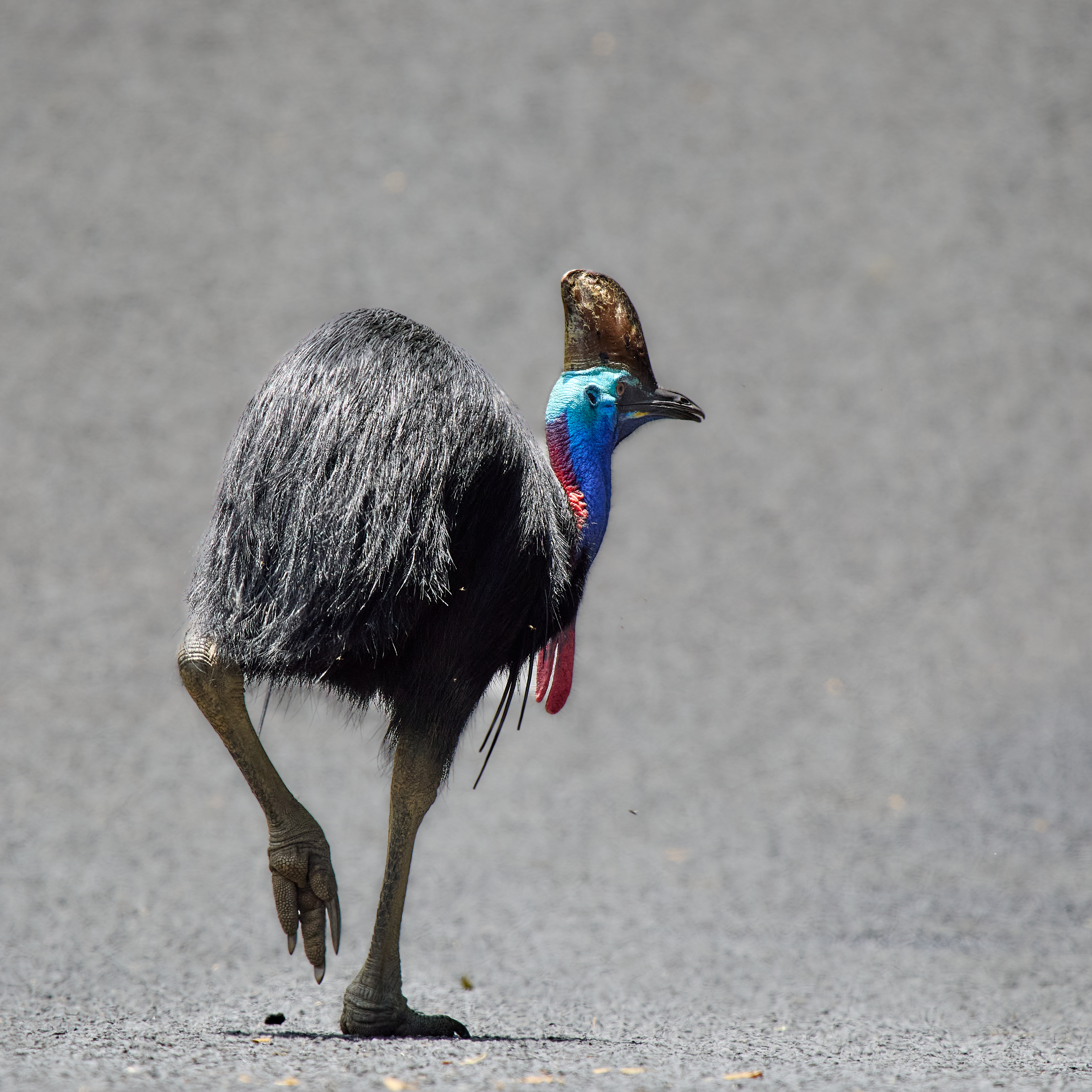
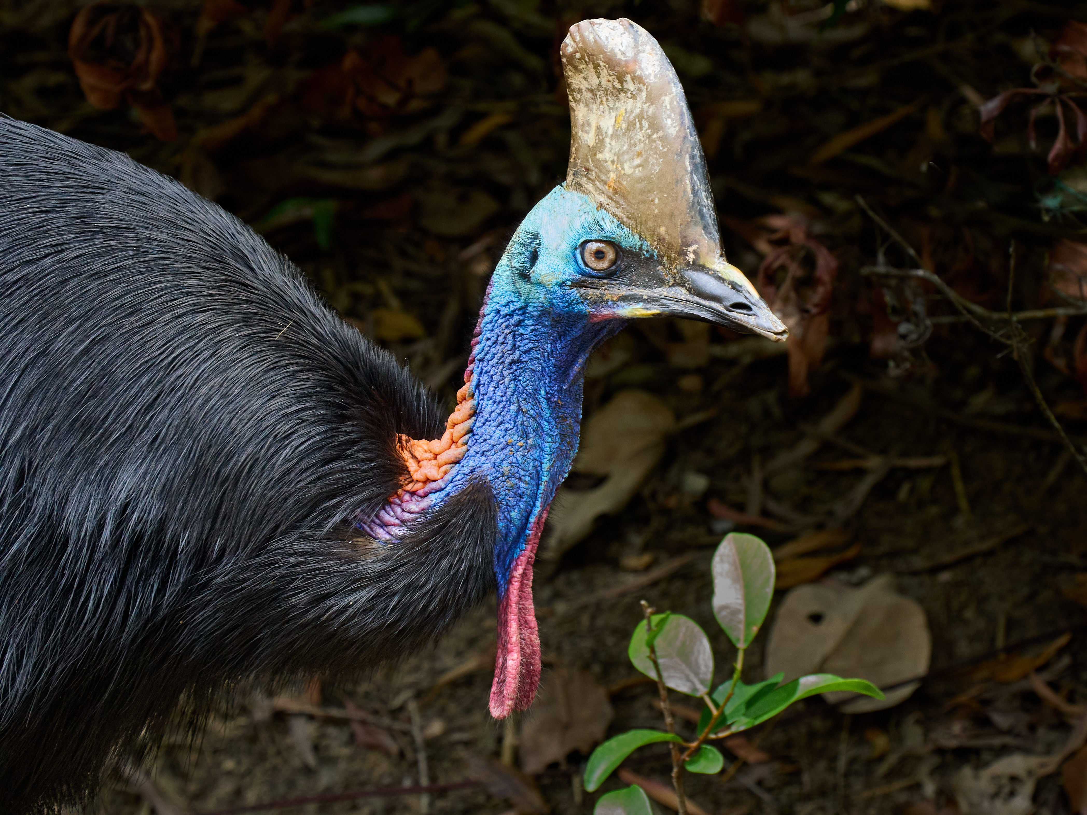
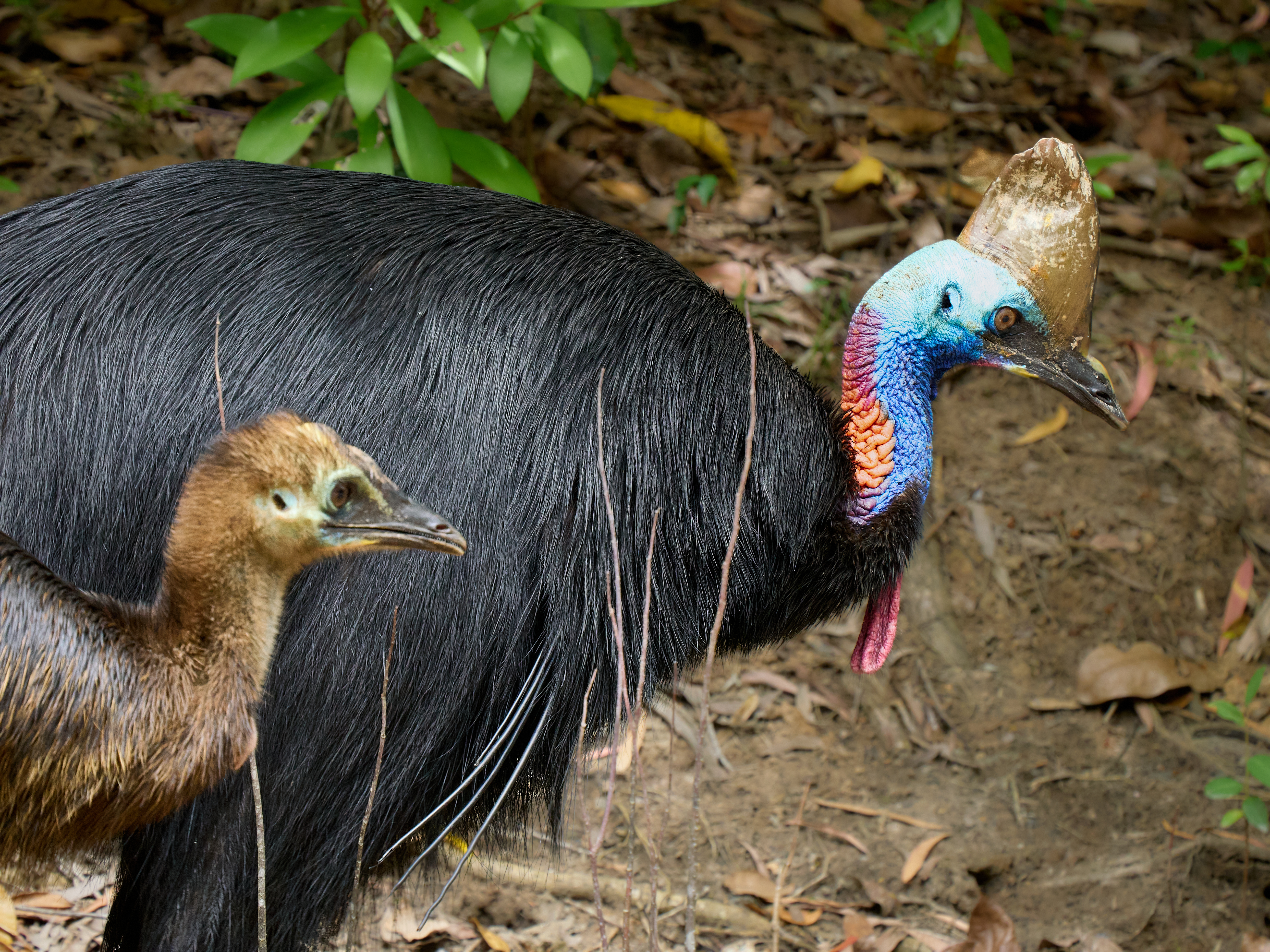
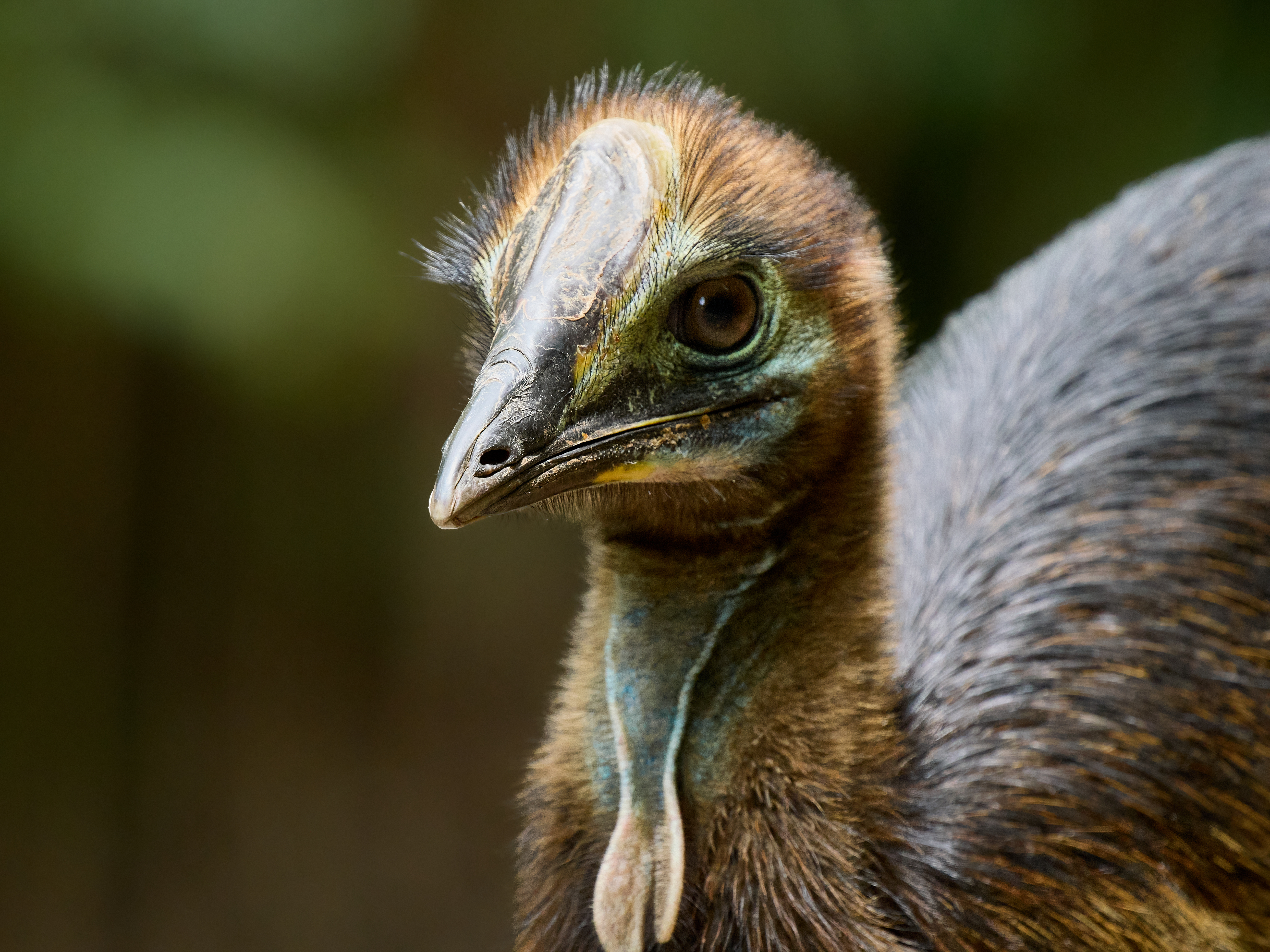
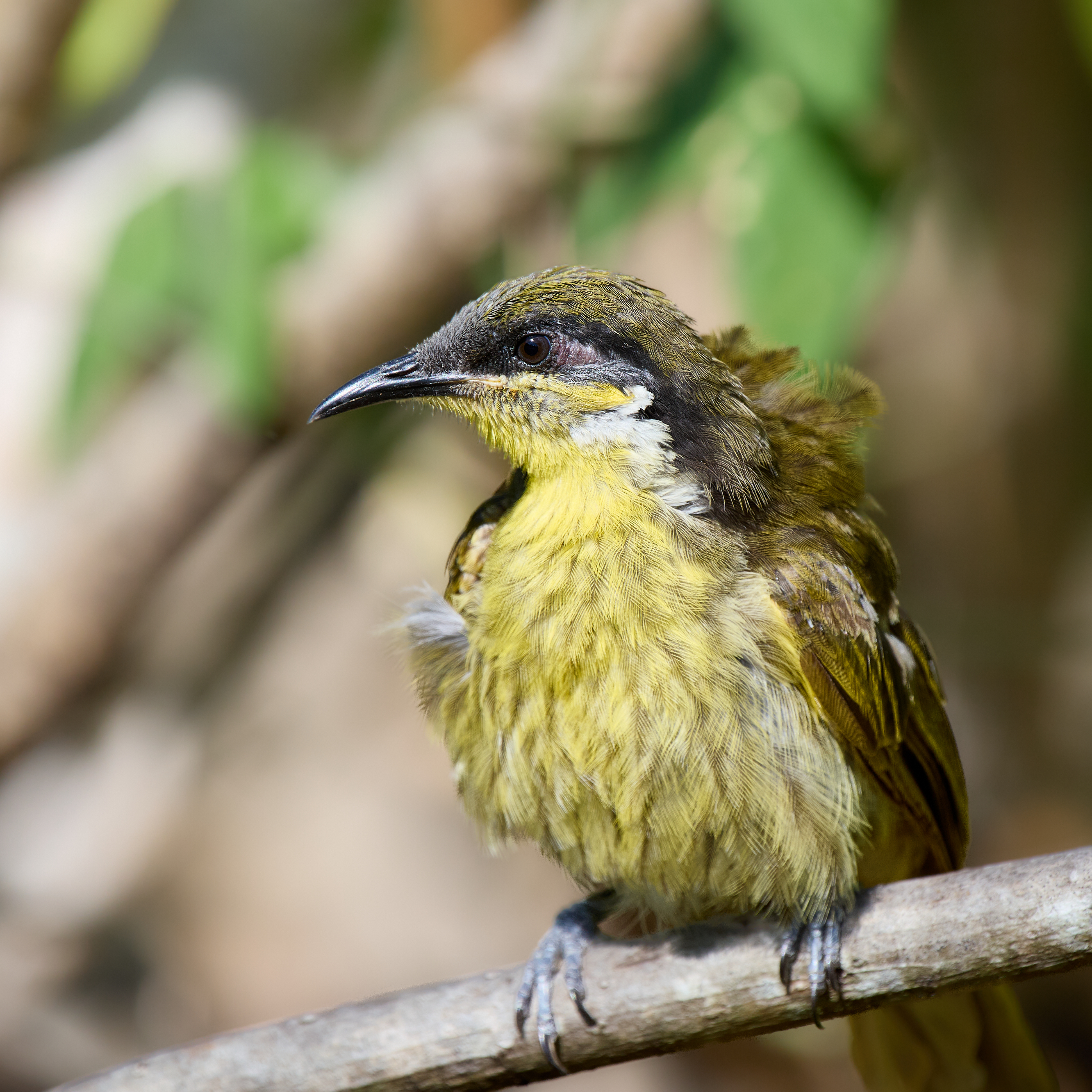
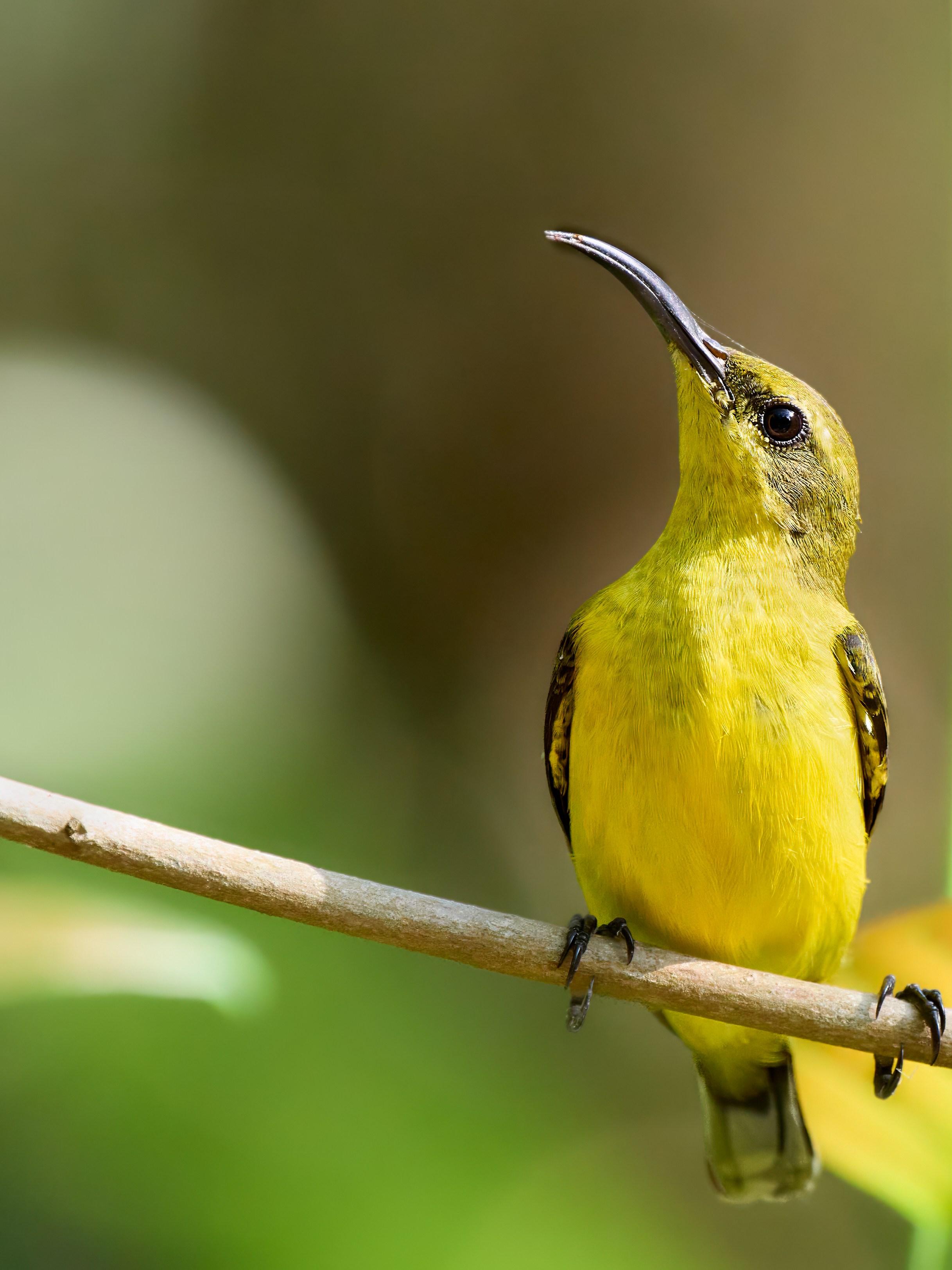
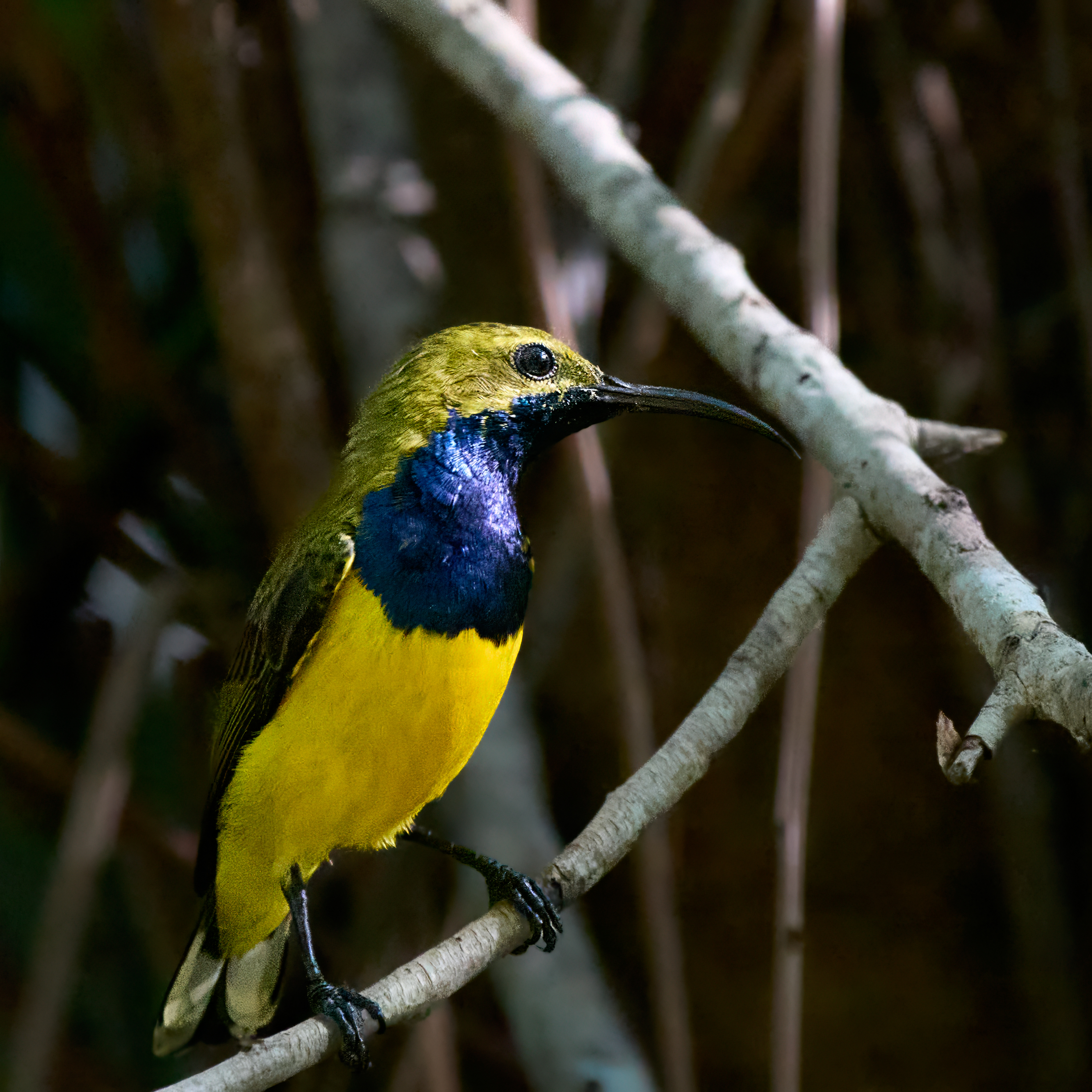
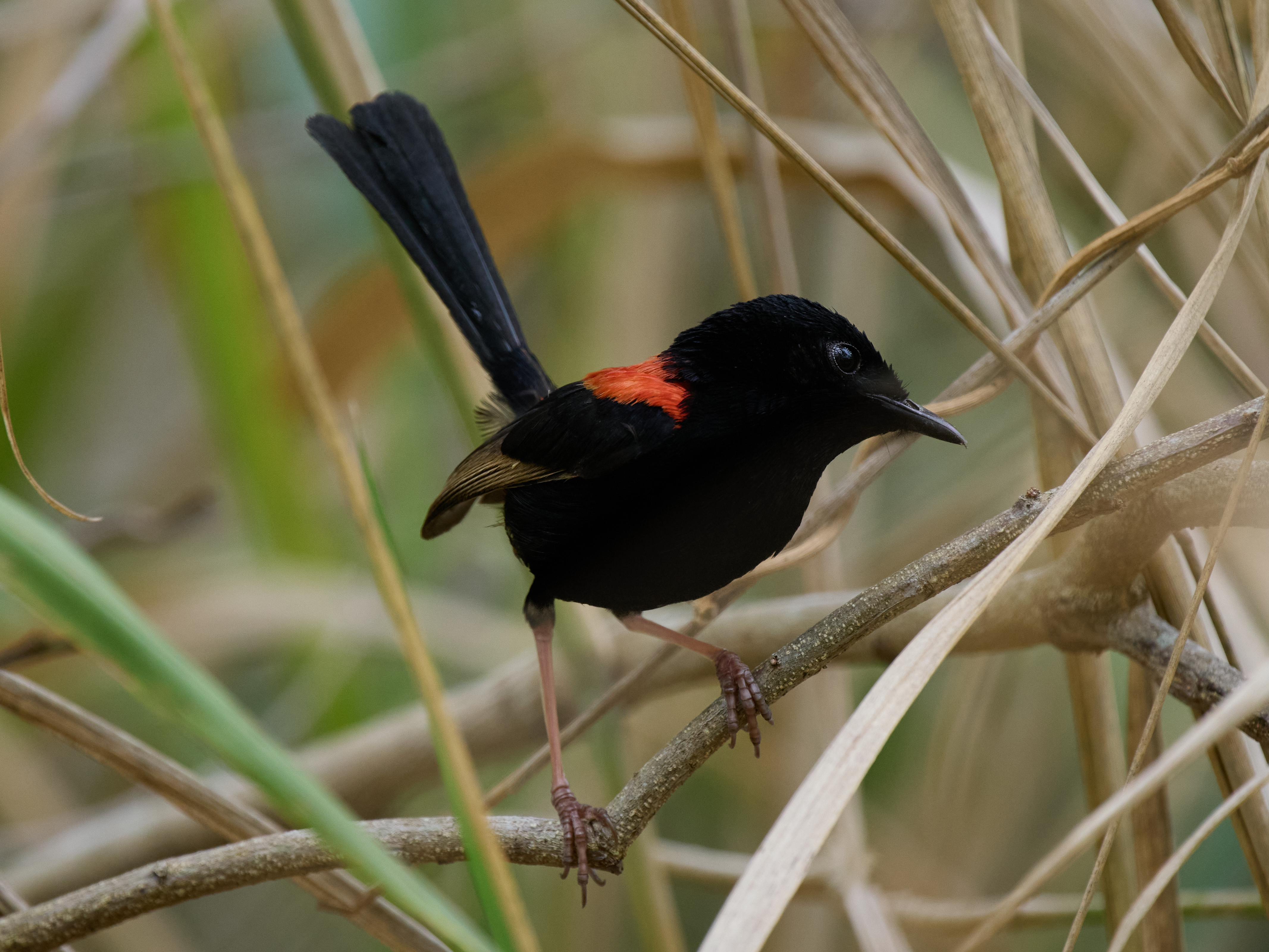
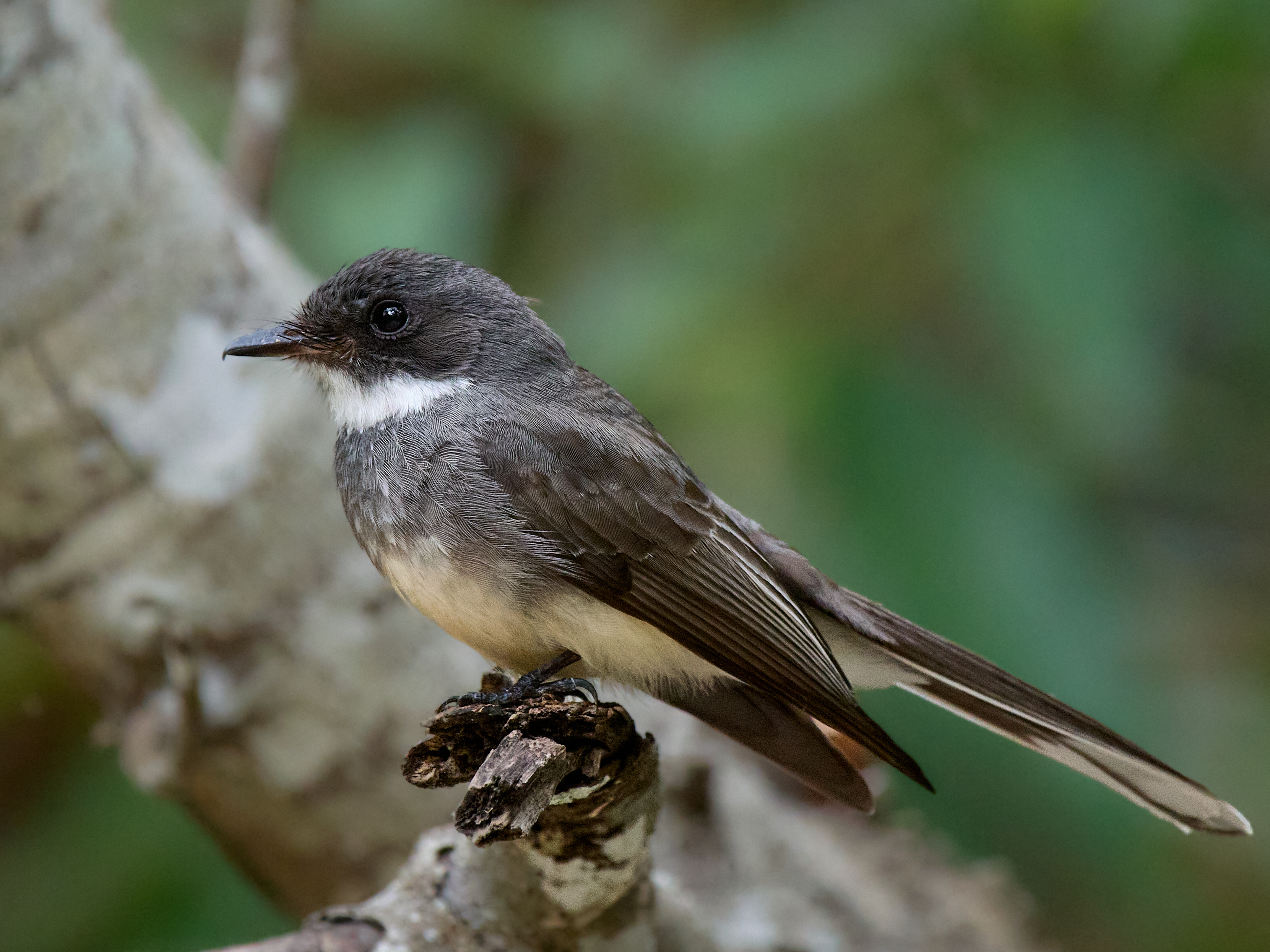
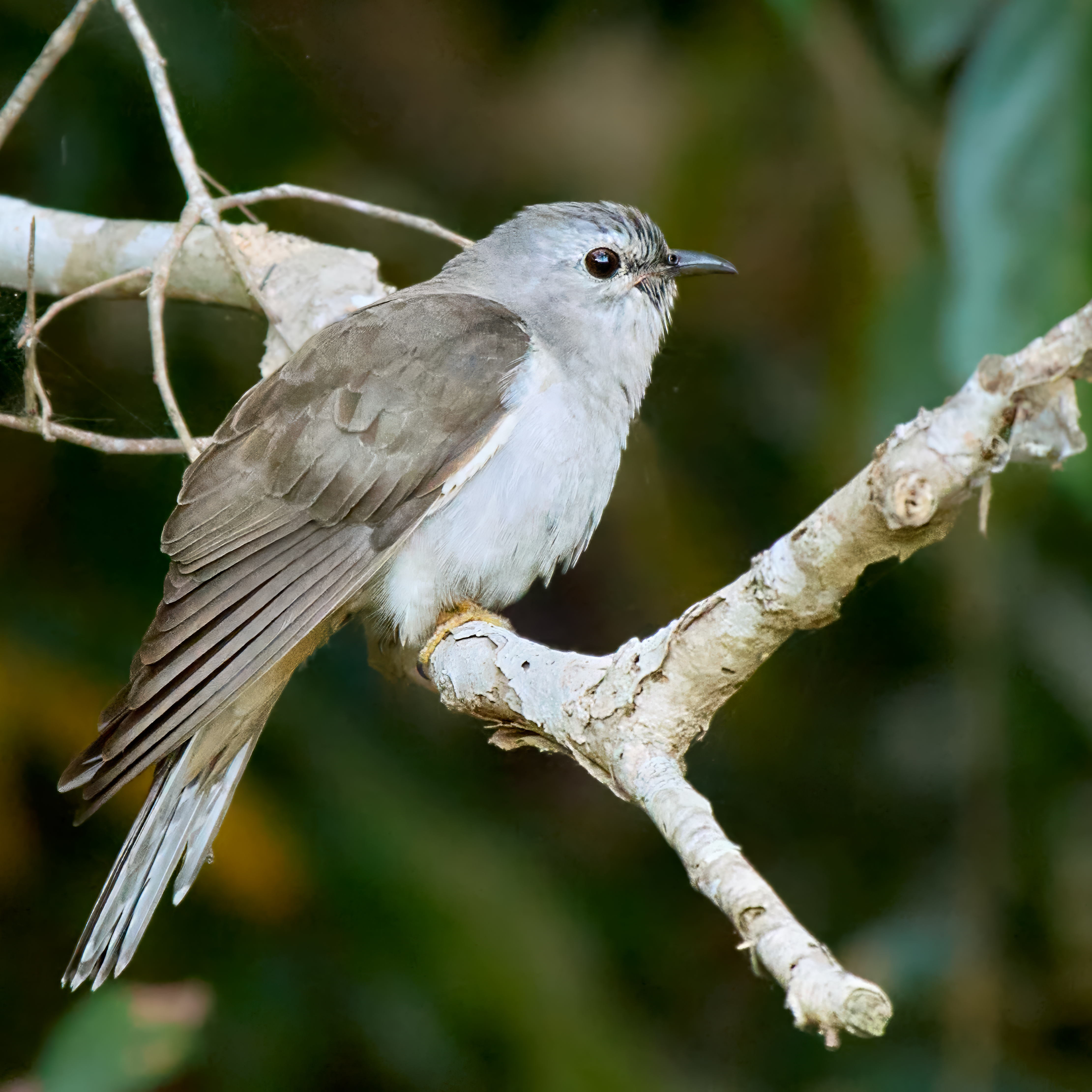
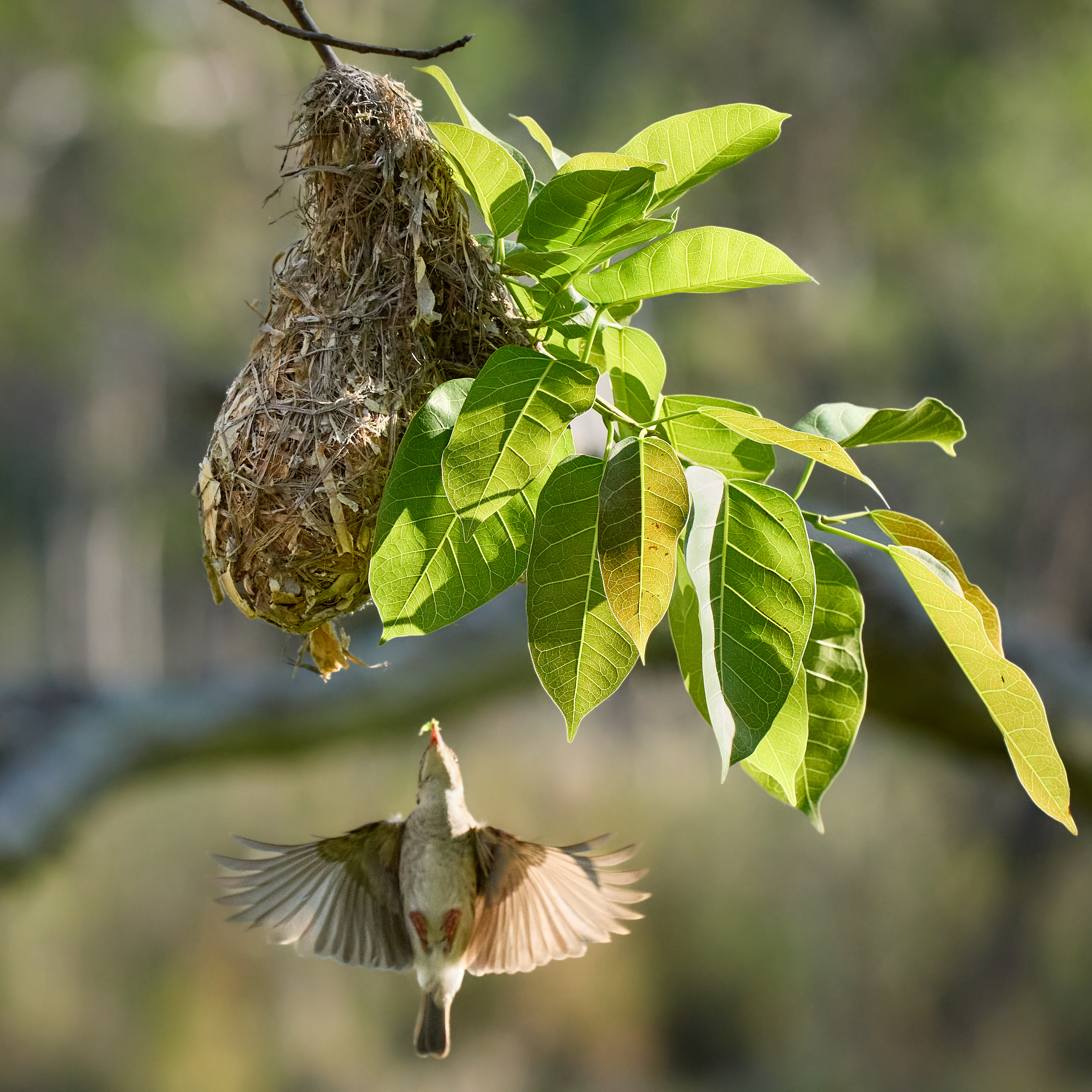
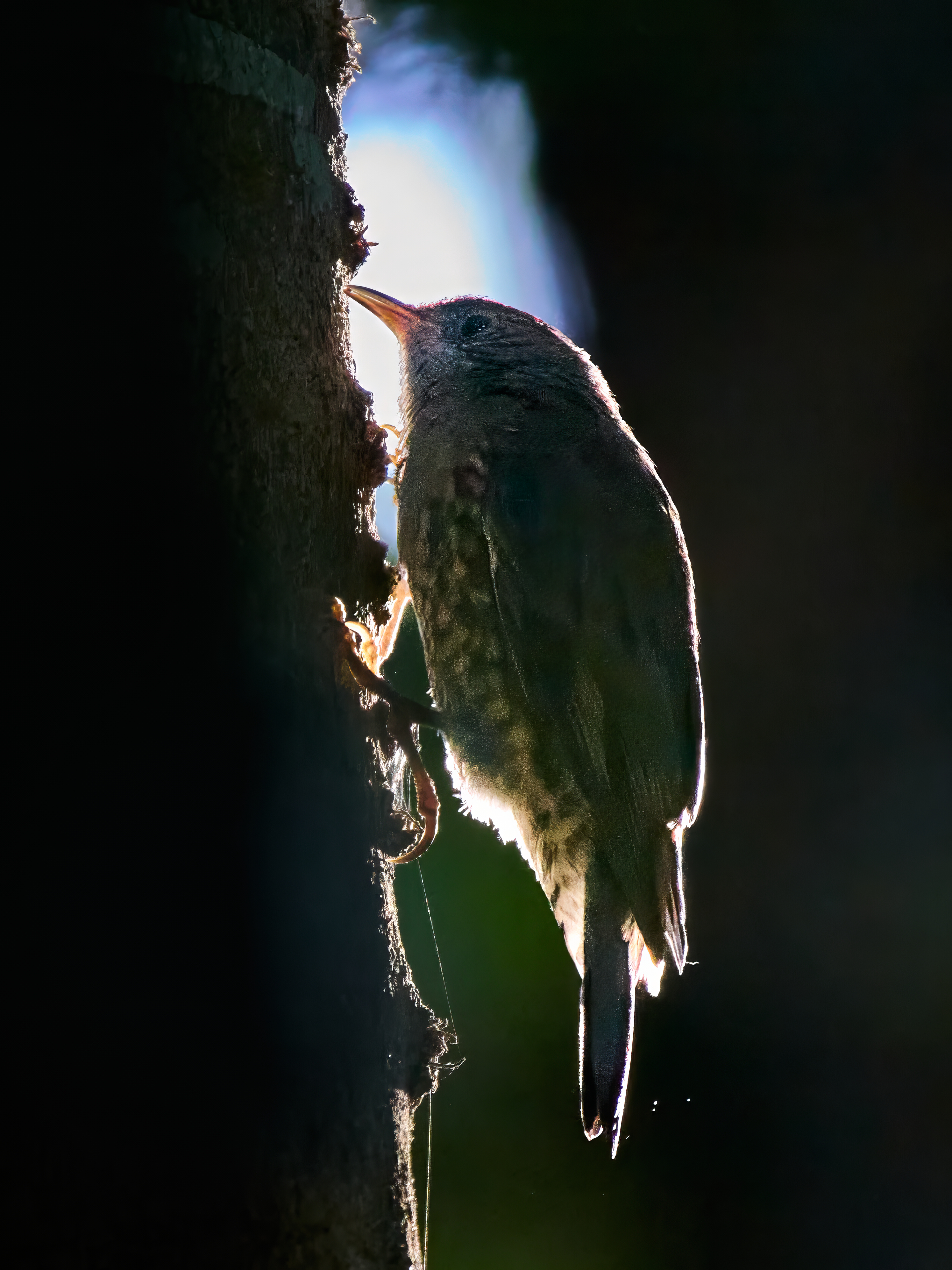
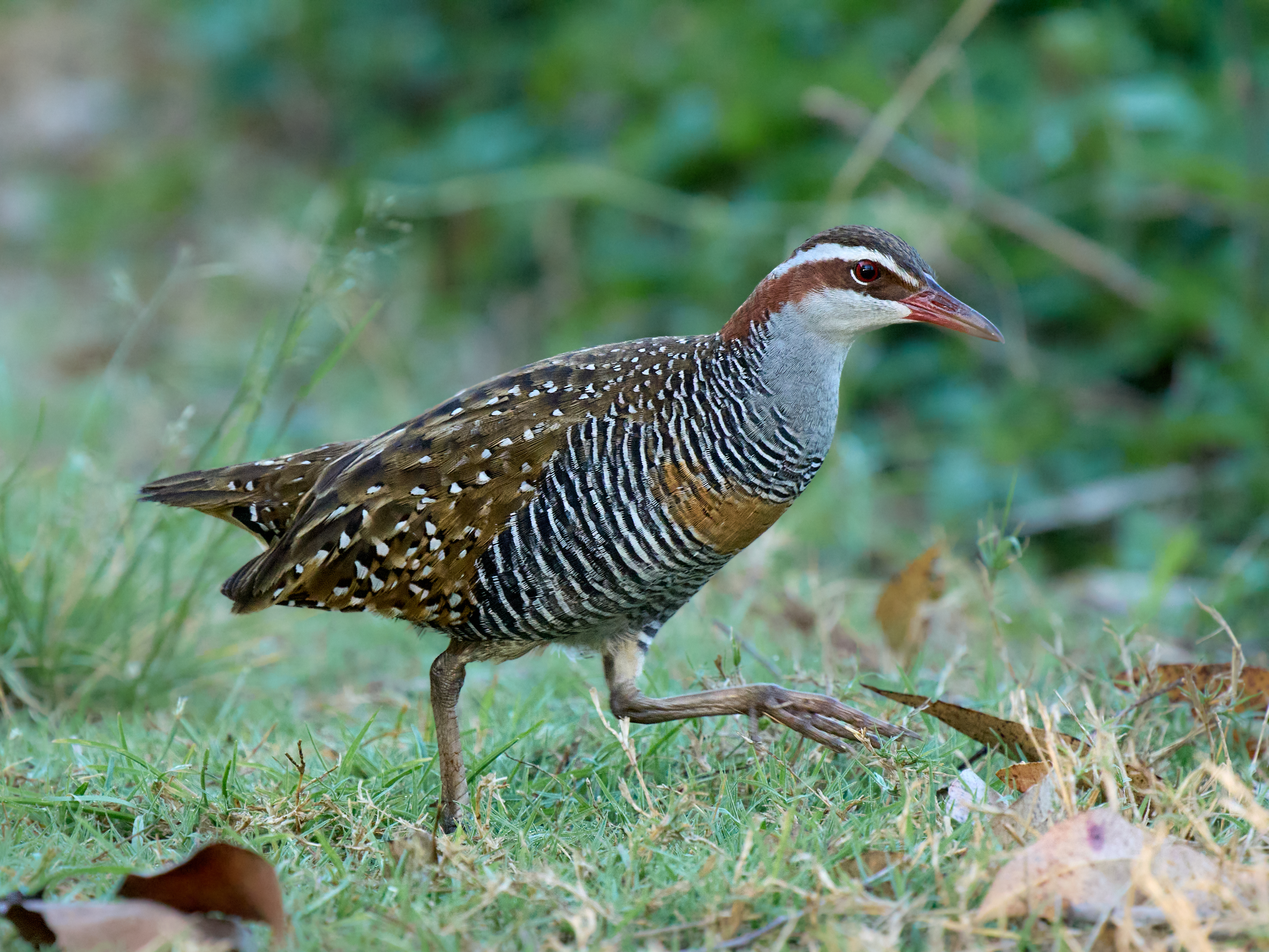
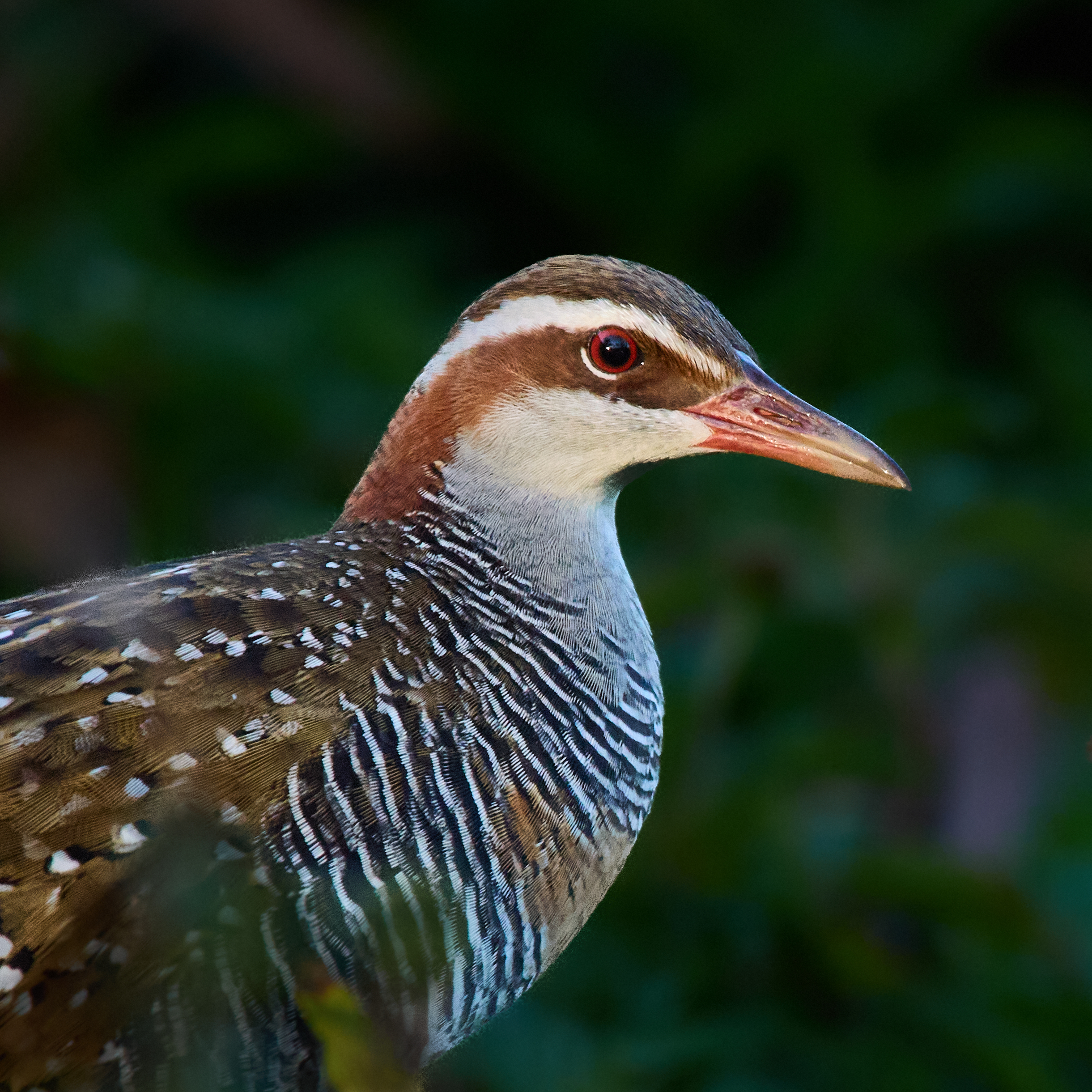
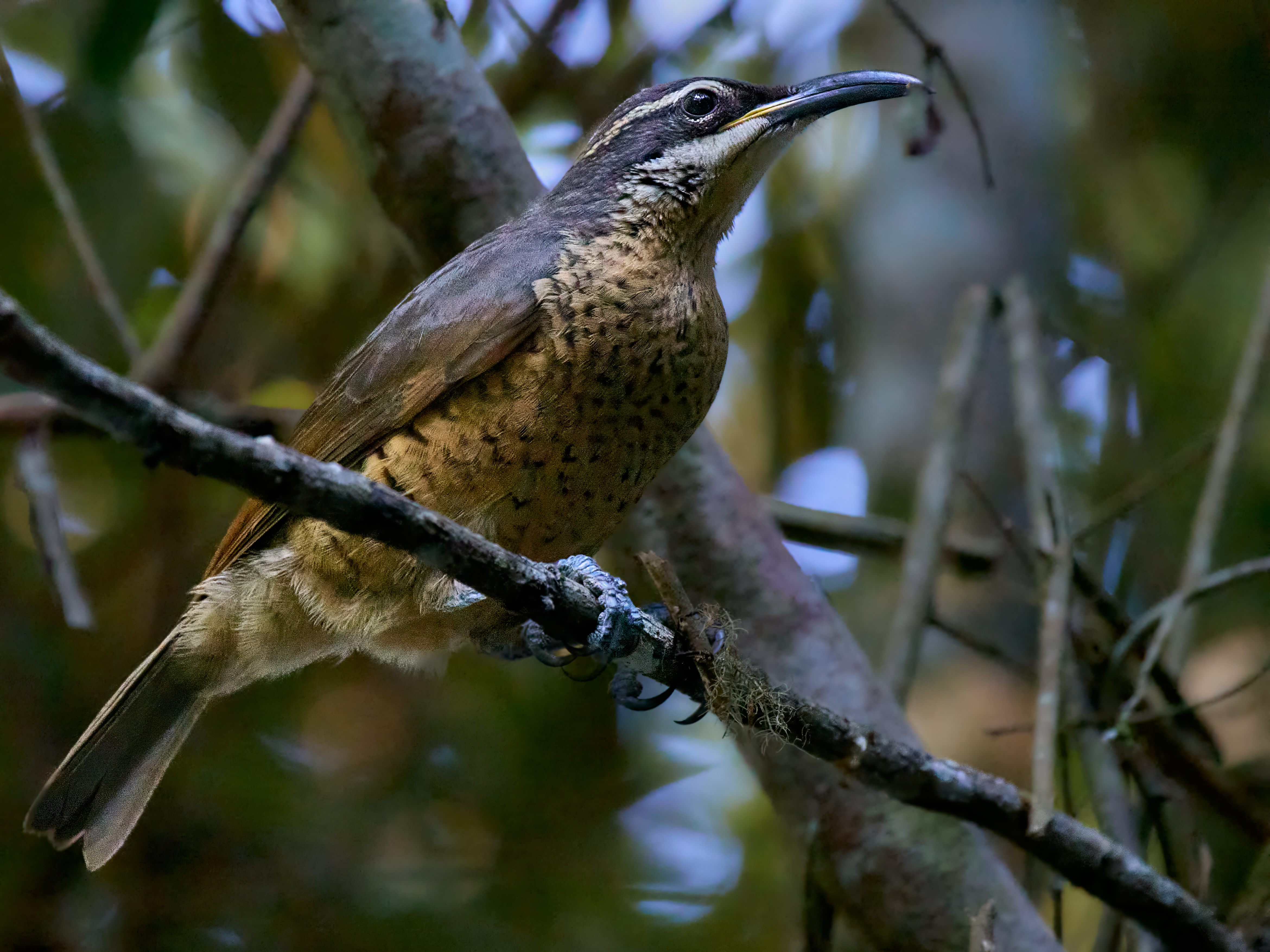
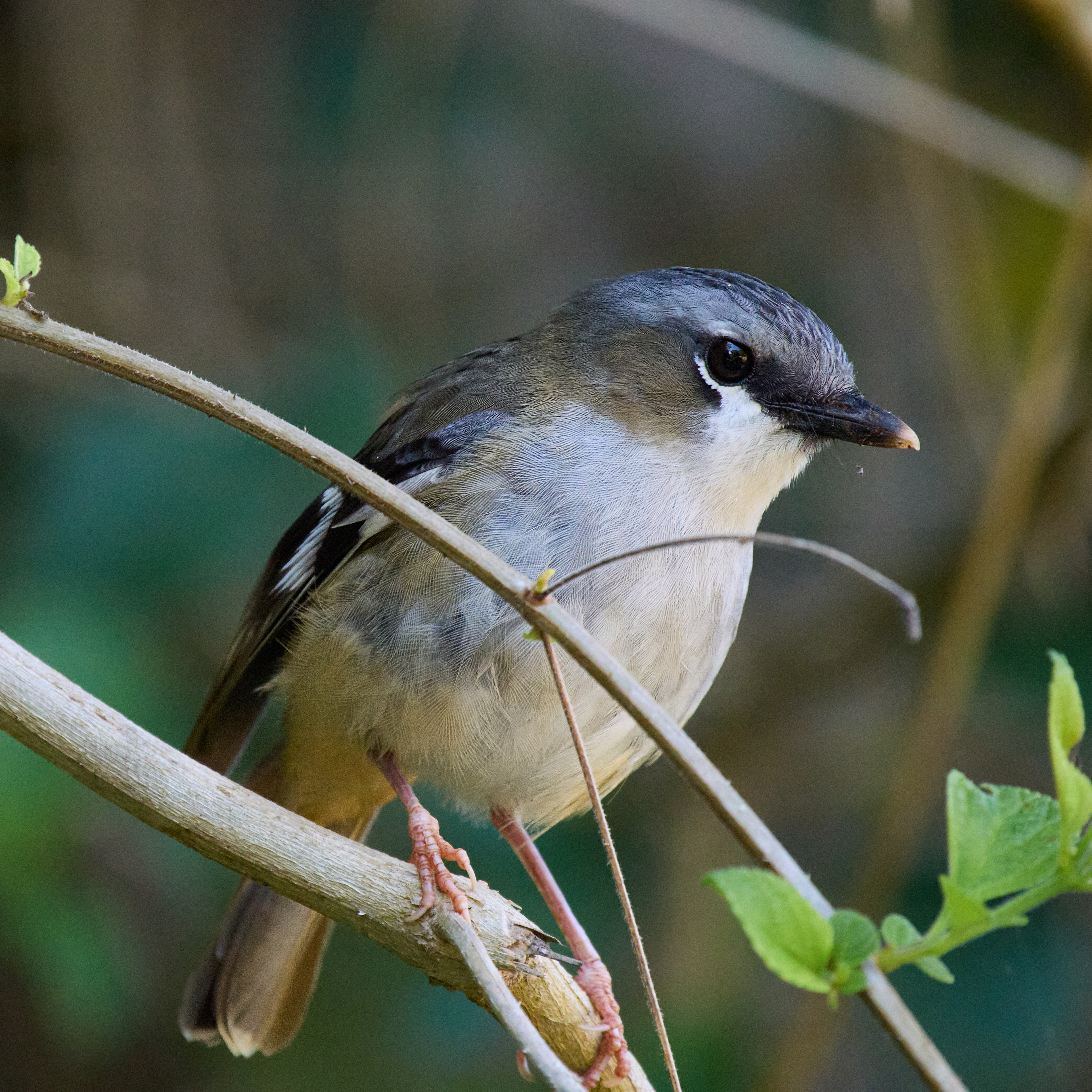
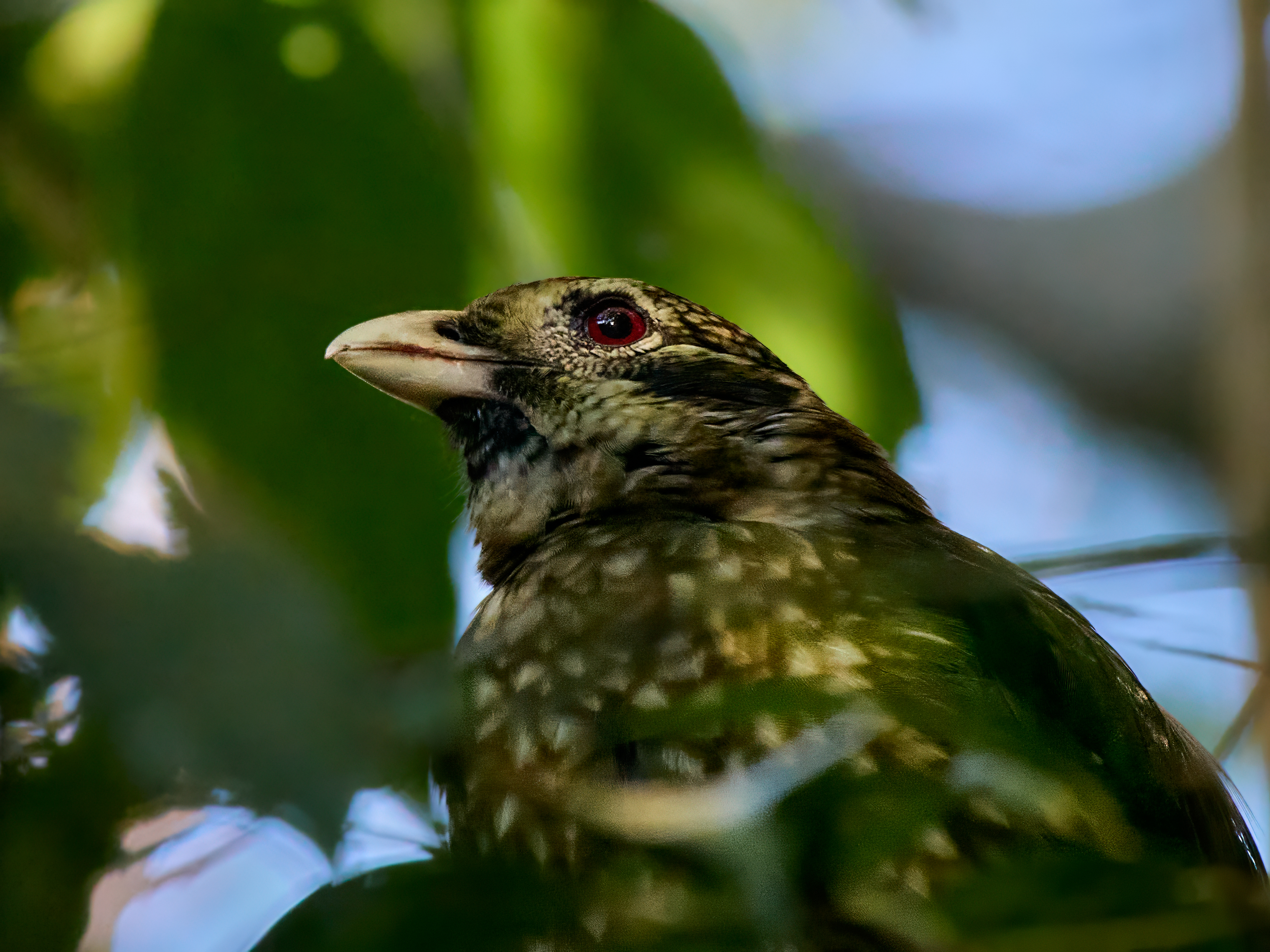
The upper stretches of Wallaman Falls Road run through rainforest protected in the World Heritage listed Wet Tropics. Traveling slowly gives a good chance to see and hear some rainforest birds including Noisy Pitta and the indomitable Cassowary. I was lucky enough to hear the Pitta on its pedestrian journey and find a Red-backed Buttonquail on the side of the road.
It is the surrounding high country that holds the naturalists interest. A trip to Paluma was on the itinerary but unfortunately heavy rain has done so much damage to the road that such a trip wasn’t viable.
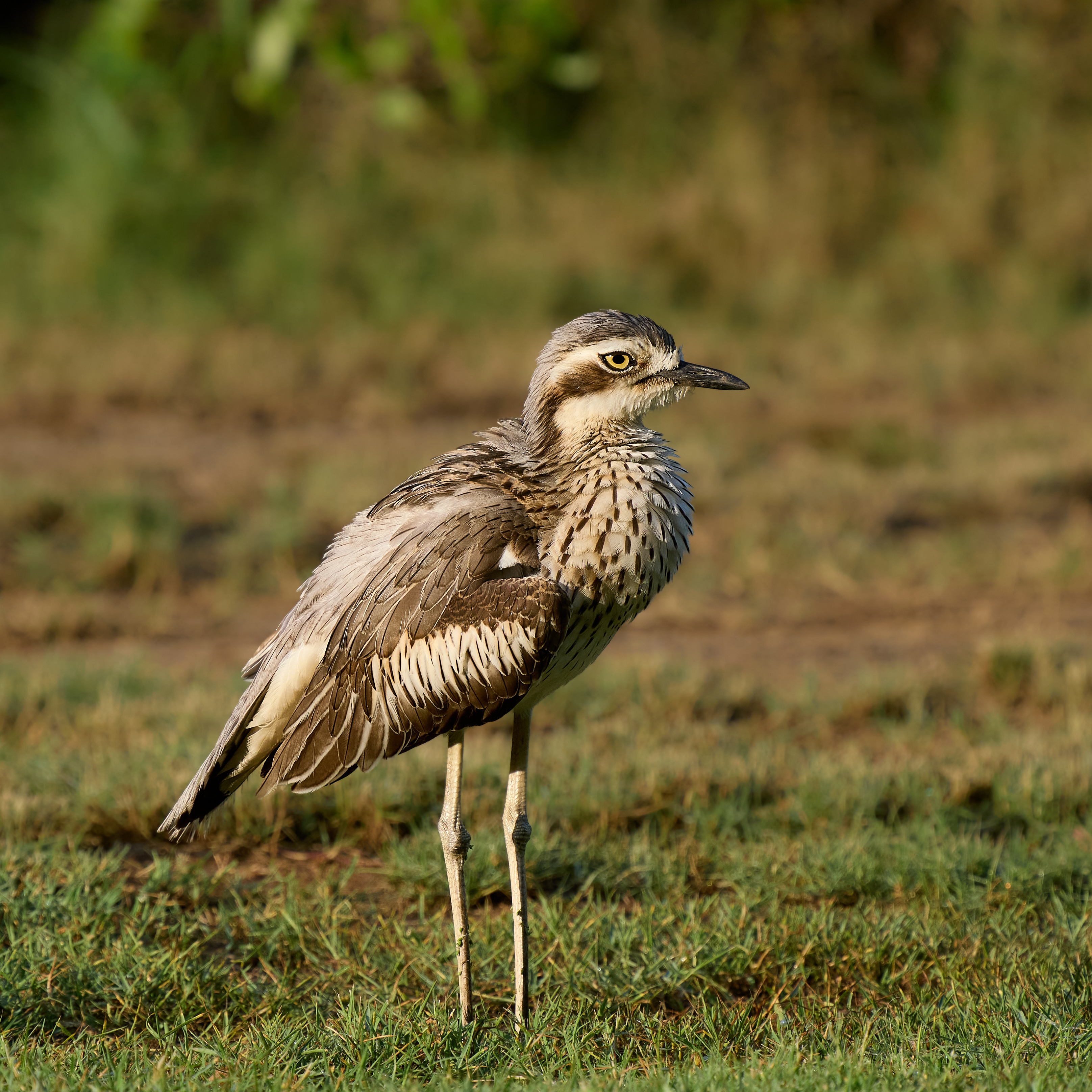
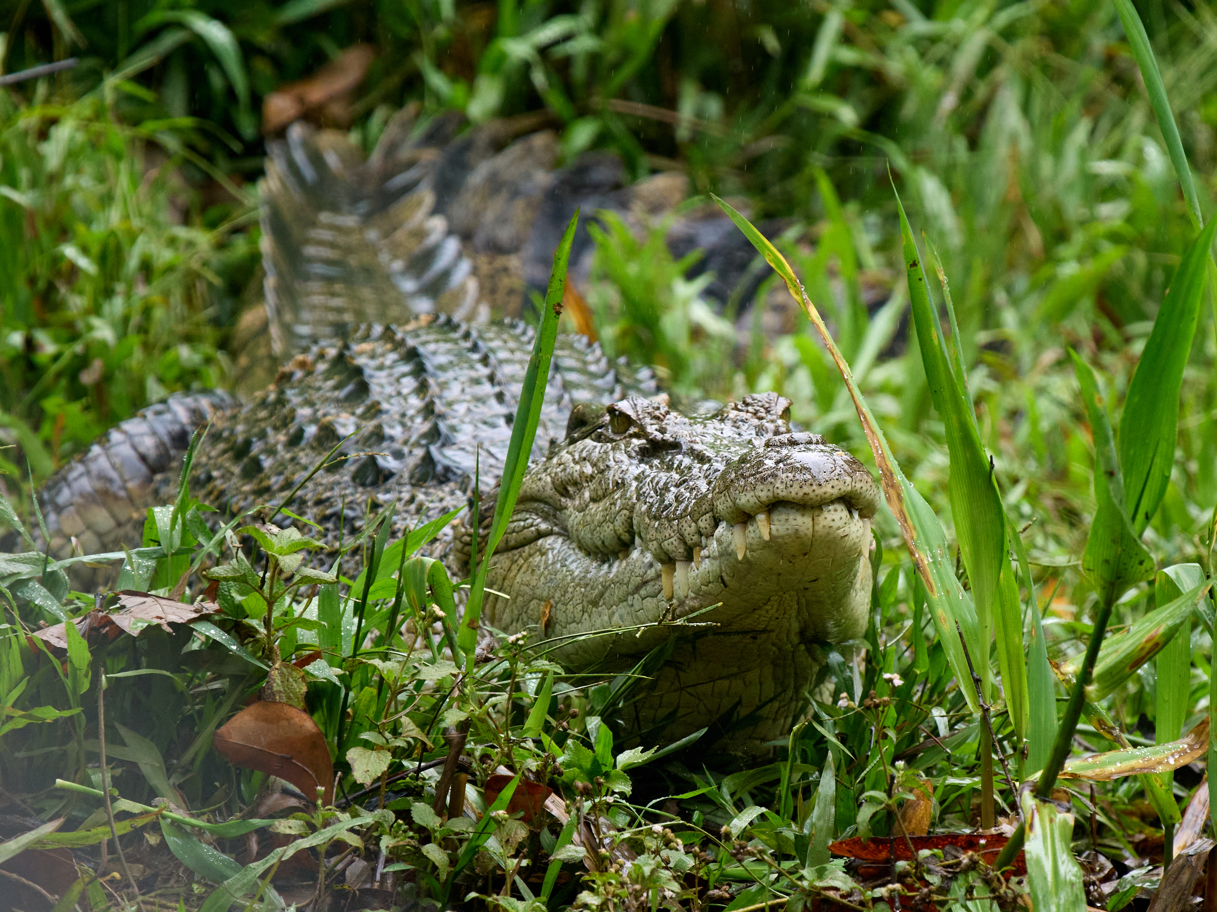
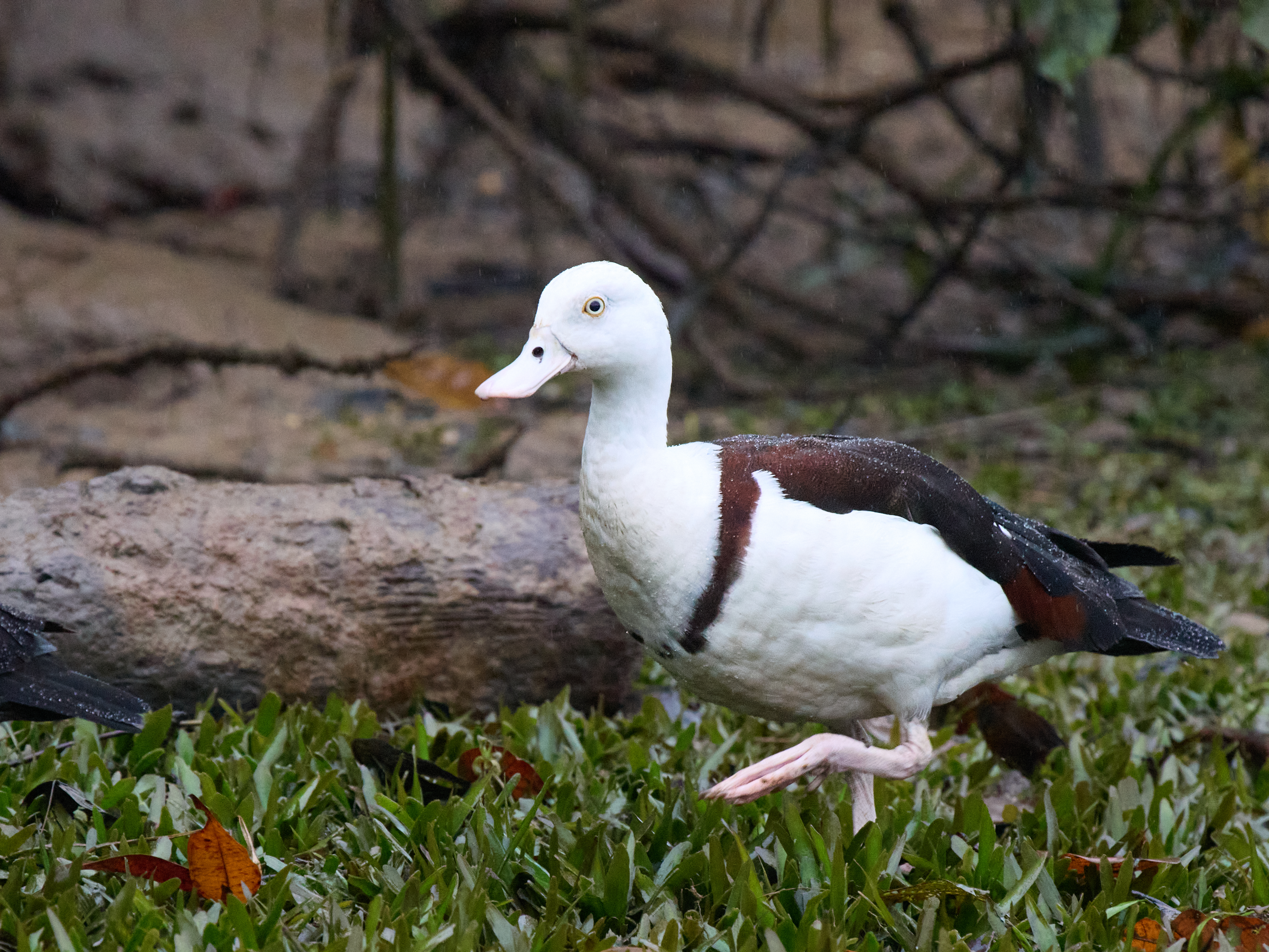
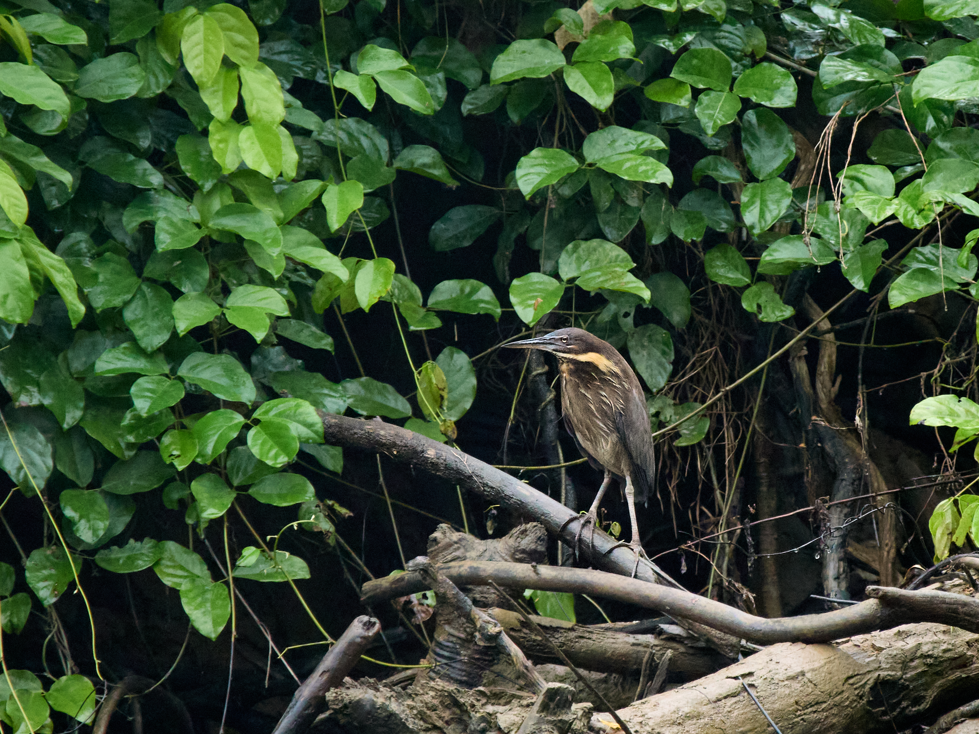
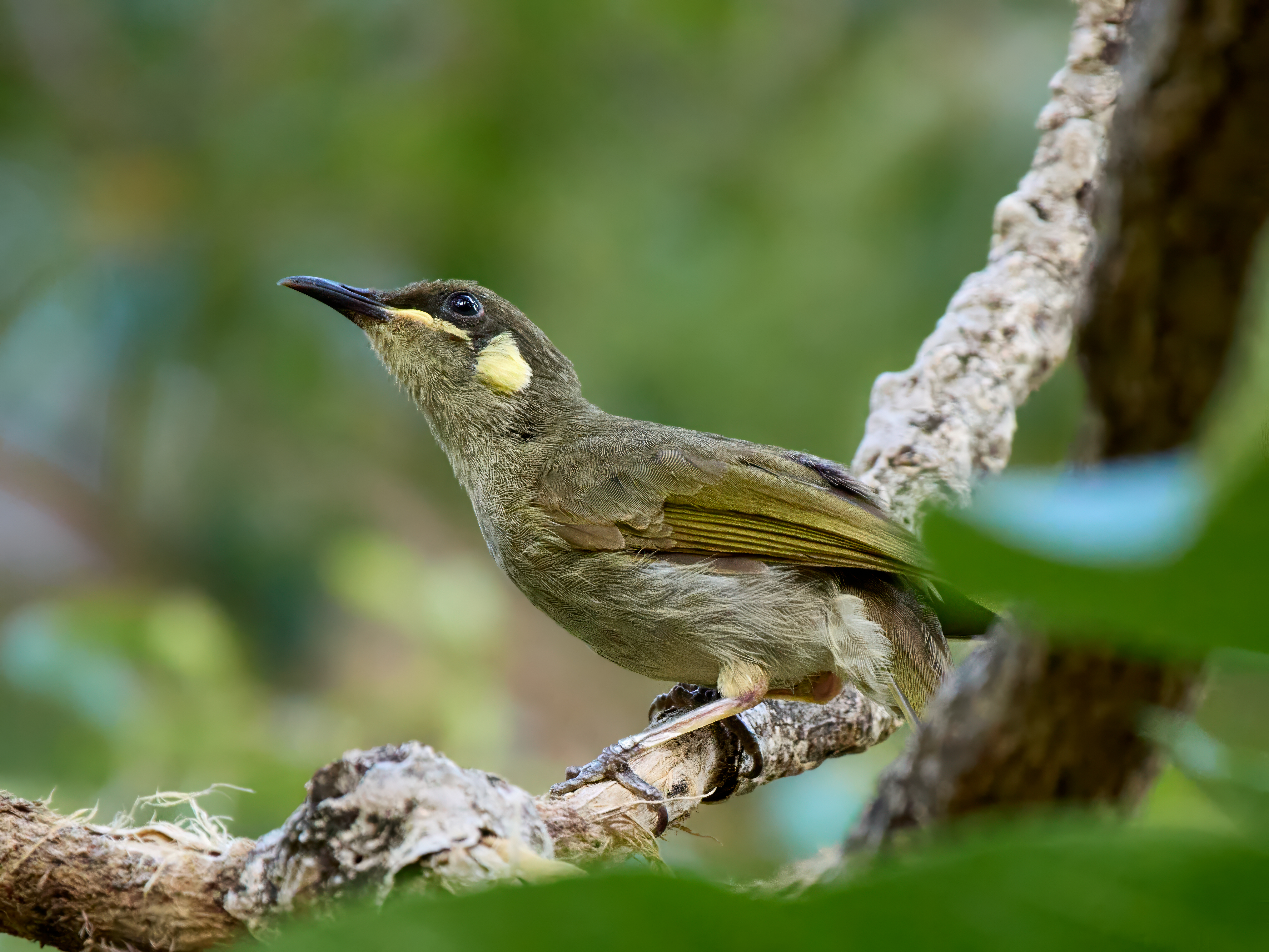
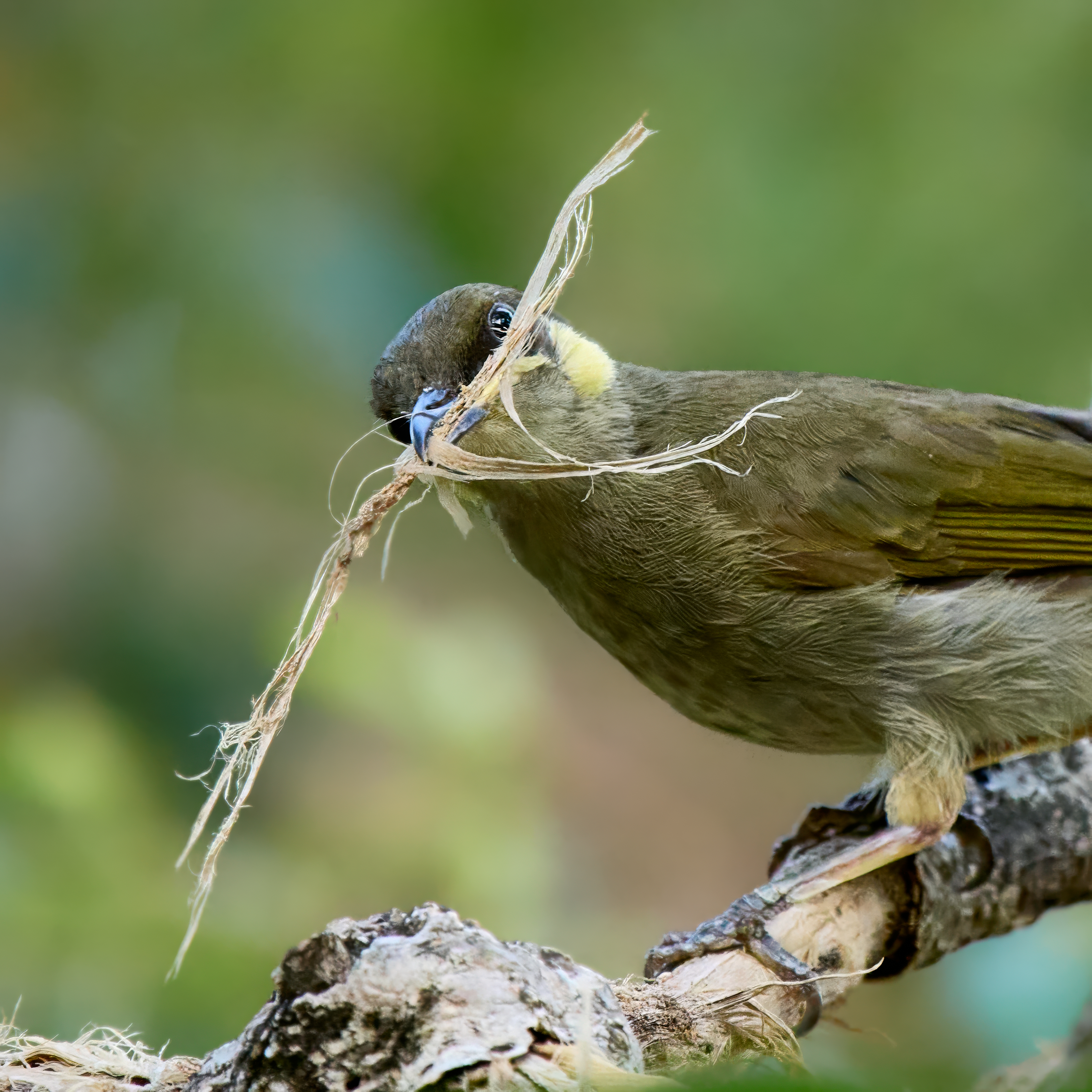
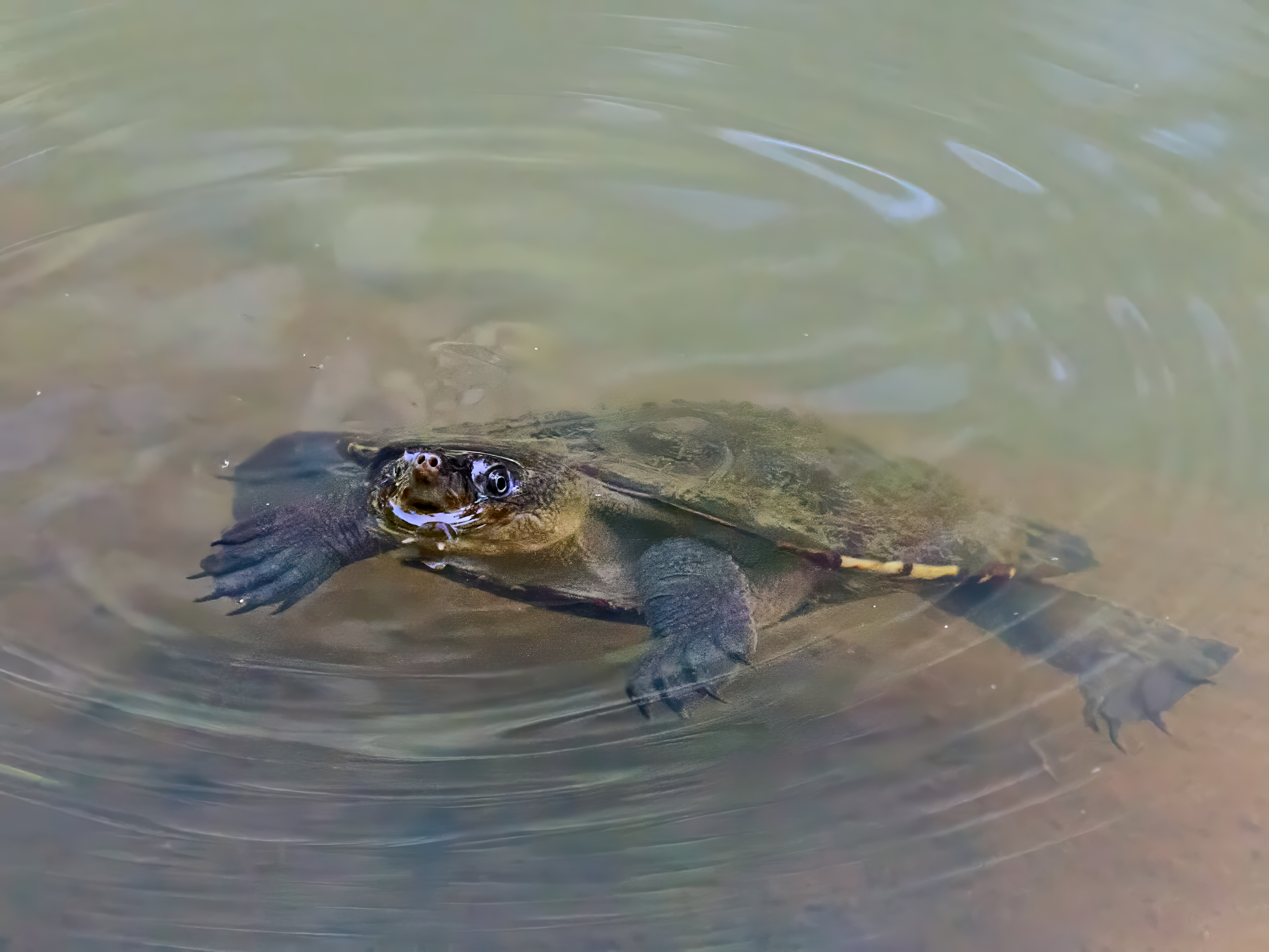
The Tyto Wetlands is on the edge of town and turns up a reasonable bird list.


Our sojourn in the Wet Tropics, Townsville to Cooktown and inland along the Dividing Range, is almost at an end. I must post a summary.