On the 11th of June 1770 the bark Endeavour struck a reef. The ship was in serious trouble and needed to be beached urgently. The east coast of Australia stretched away behind her but no suitable place had been passed in a very long way. The situation was dire but to the captain’s great relief the mouth of a large river was not far ahead. She limped into its sheltered waters and a suitable beach was soon found to careen her.
It took seven very interesting weeks to repair and reprovision the ship. The residents and the visitors represented two vastly different cultures which, in this instance, rubbed along not entirely without friction but tolerably well. For the visiting scientists, Banks and Solander, this was their best chance to run amok in a virgin ecosystem. Among the many things collected was the word Kangaroo.
These days Cooktown is a town of about 2,800 people with a very decent hardware store not that I had a bark to repair but I did need to change a tap washer, fit a new Anderson plug and replace a dead compressor.
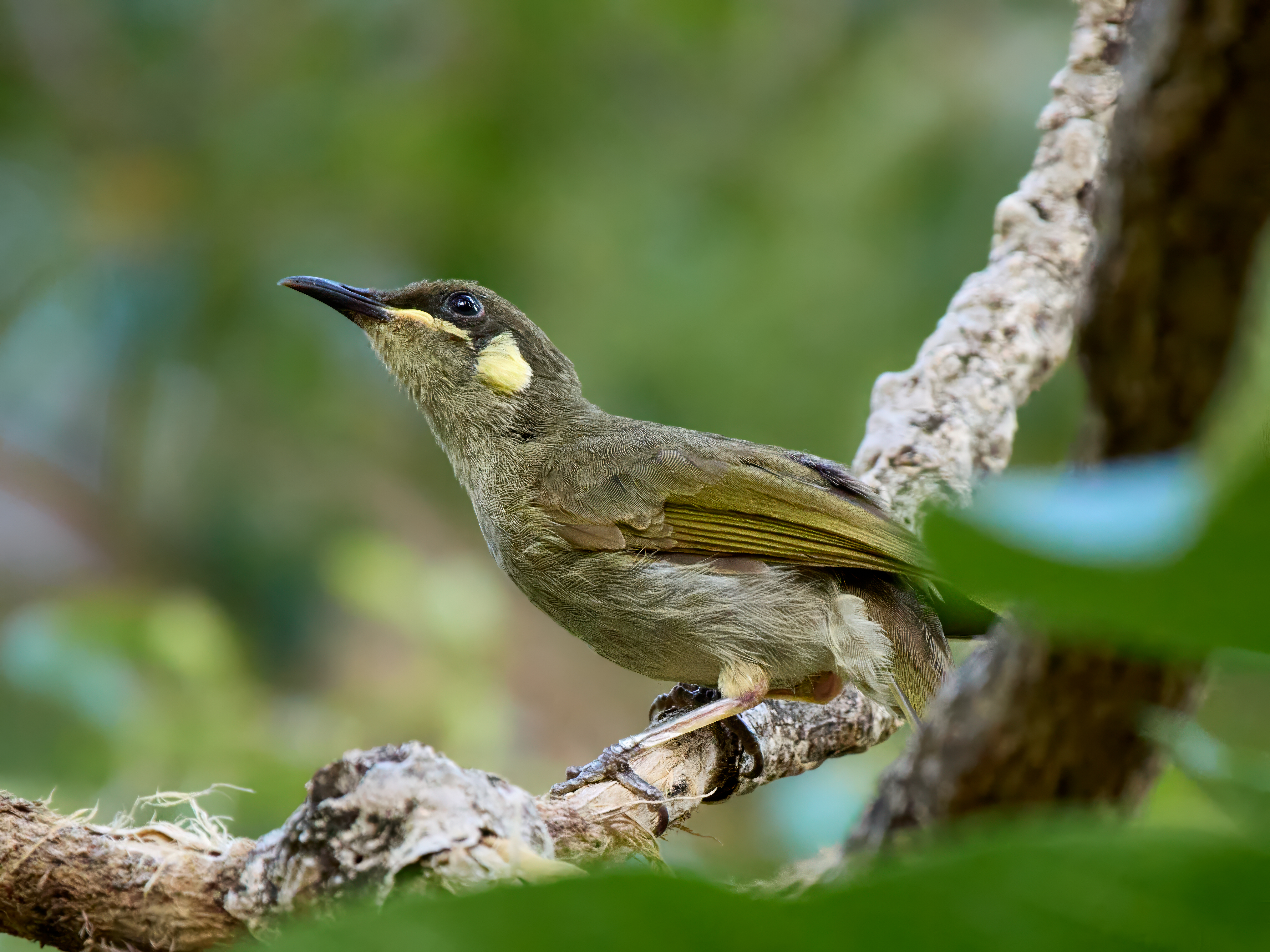
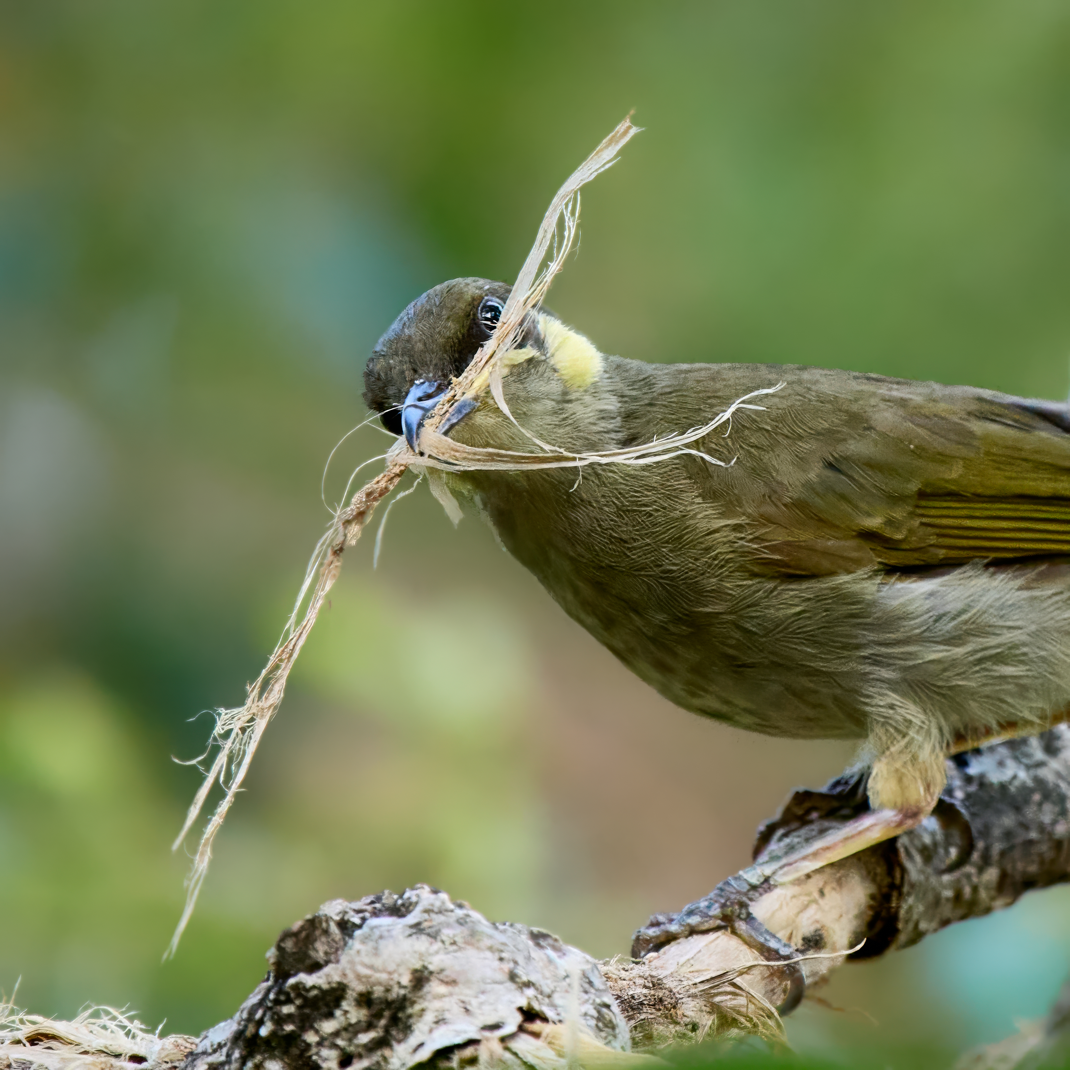
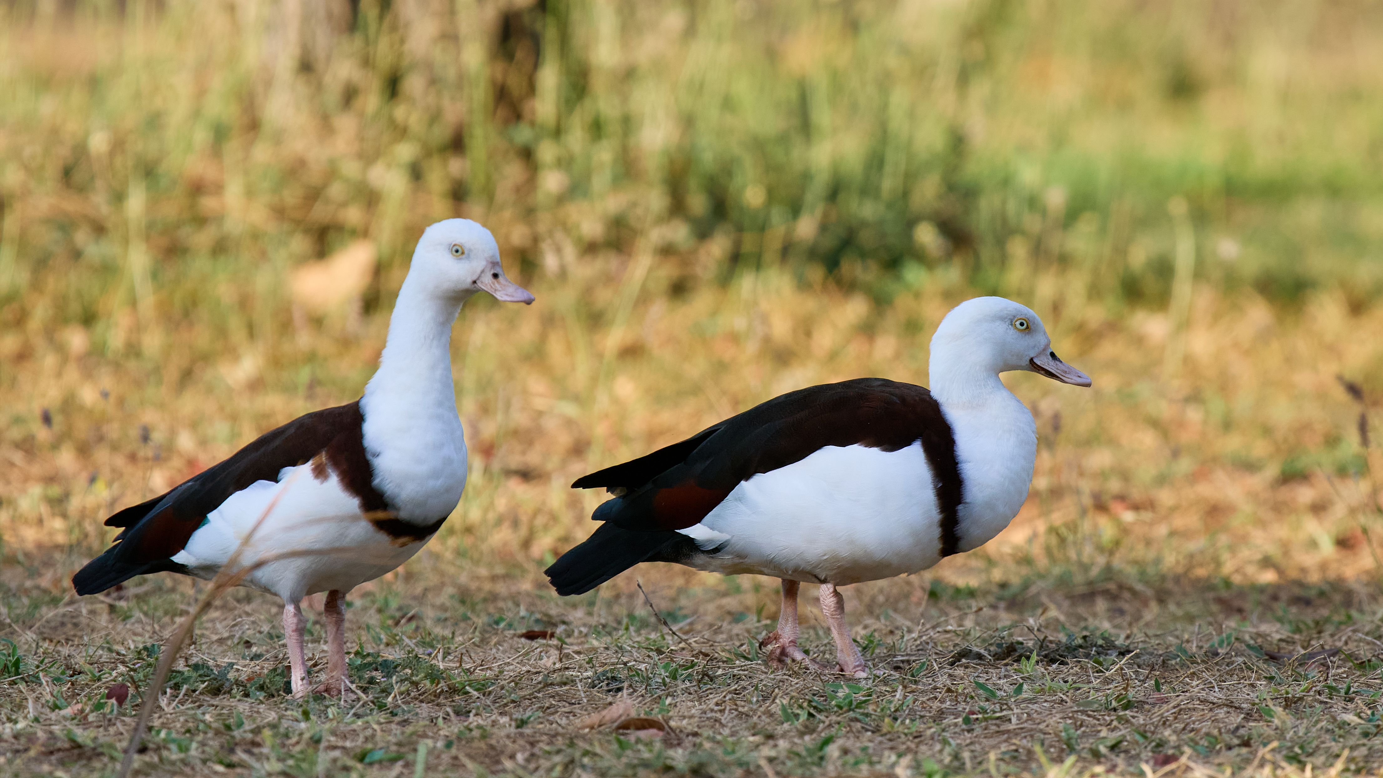
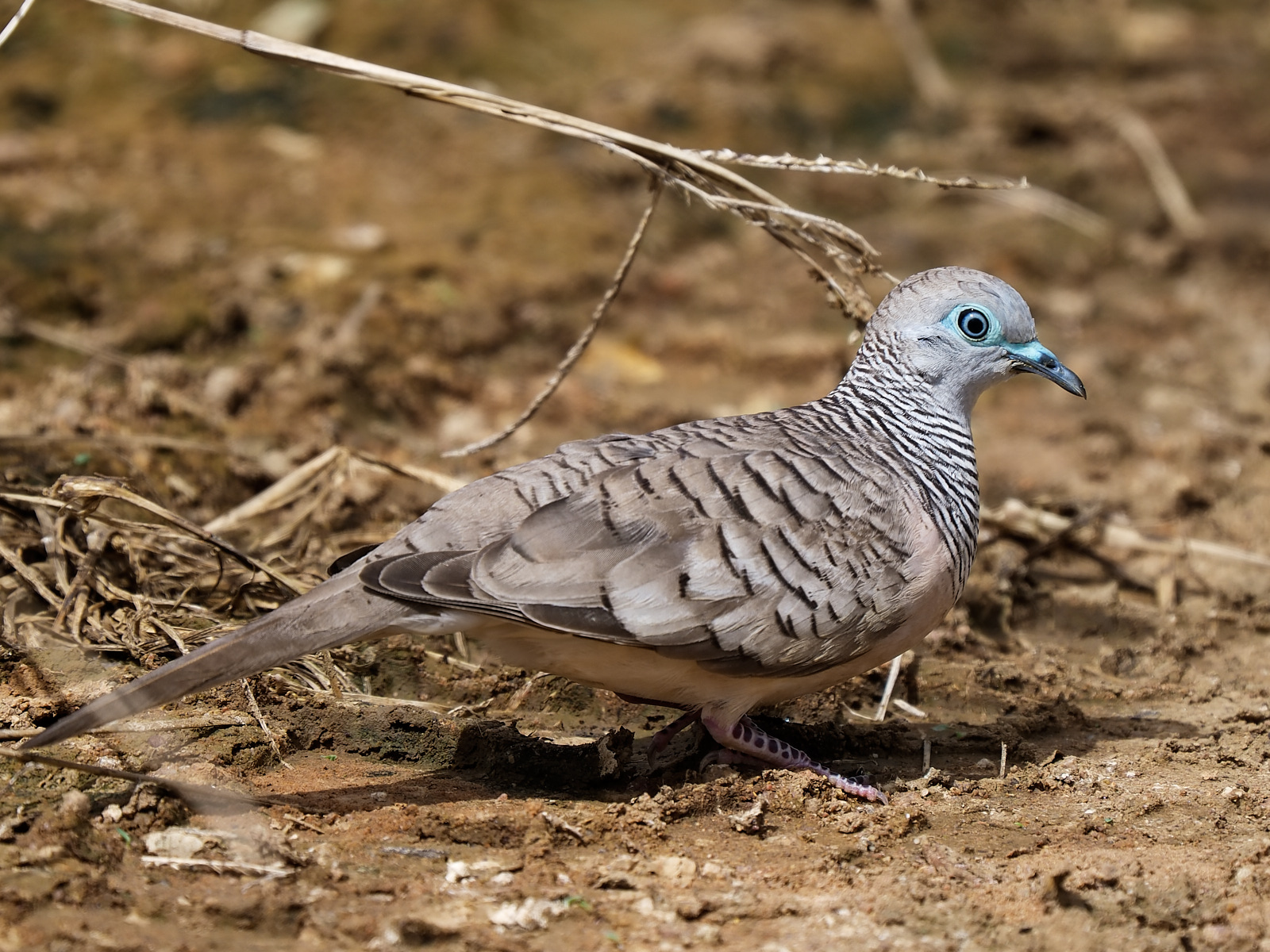
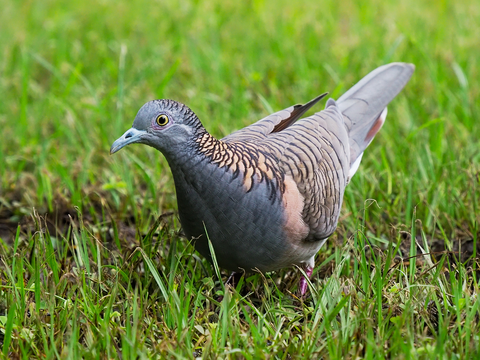
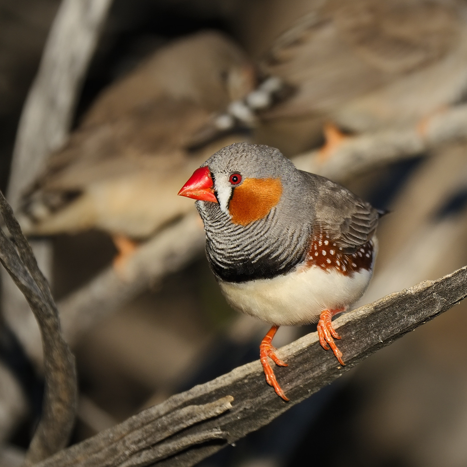
There is a very fine botanical garden here which has a Banks and Solander collection among many other things. The cafe opens at 8.30 am and serves a very nice breakfast. Coffee and poached eggs on the veranda, binoculars and camera at the ready. The birds enjoying the flowers in the cool hours of the tropical morning. Heaven.
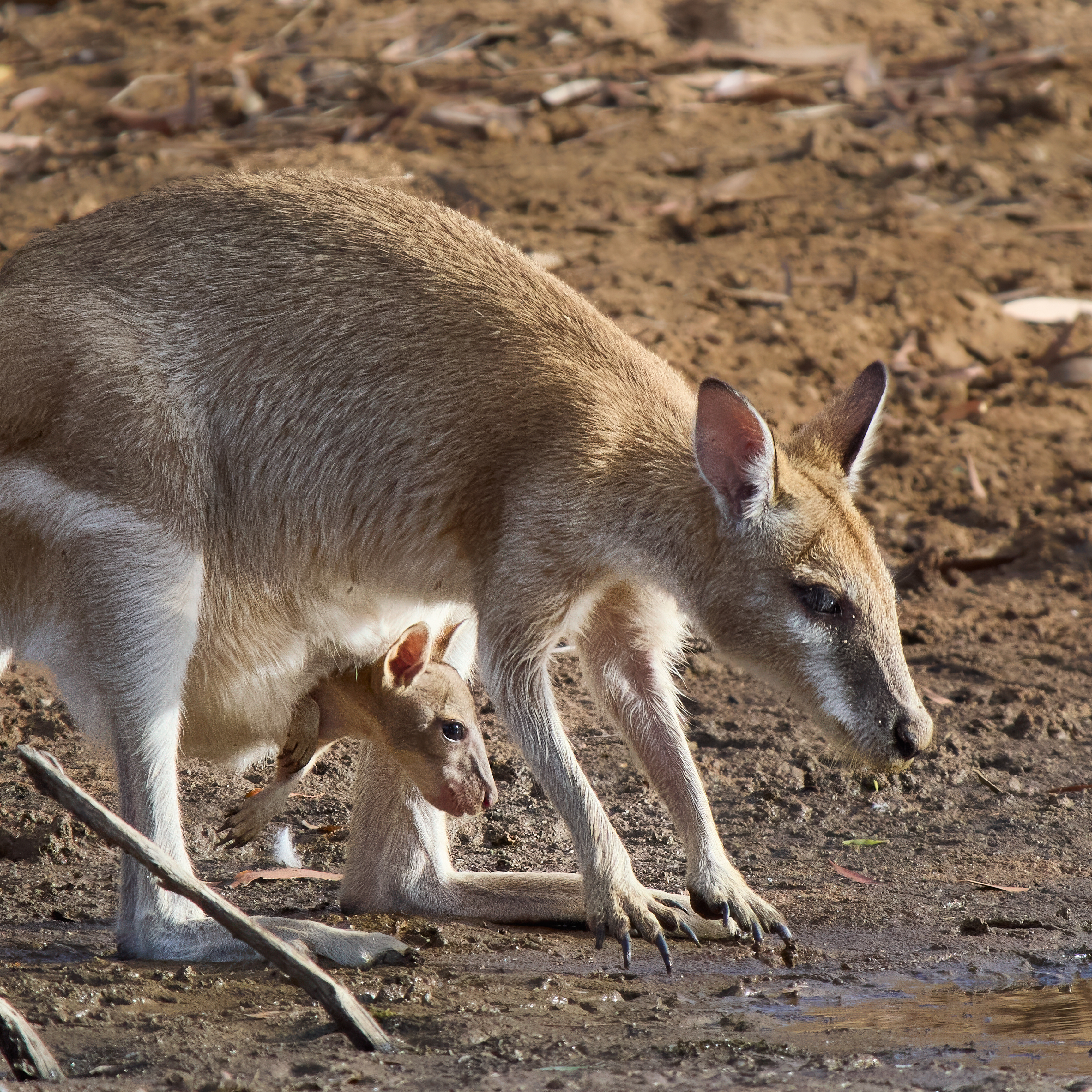
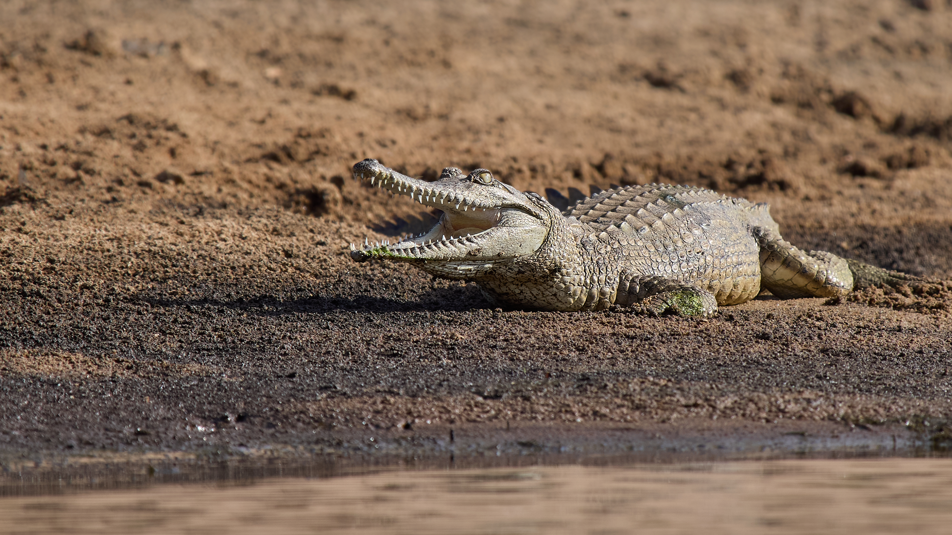
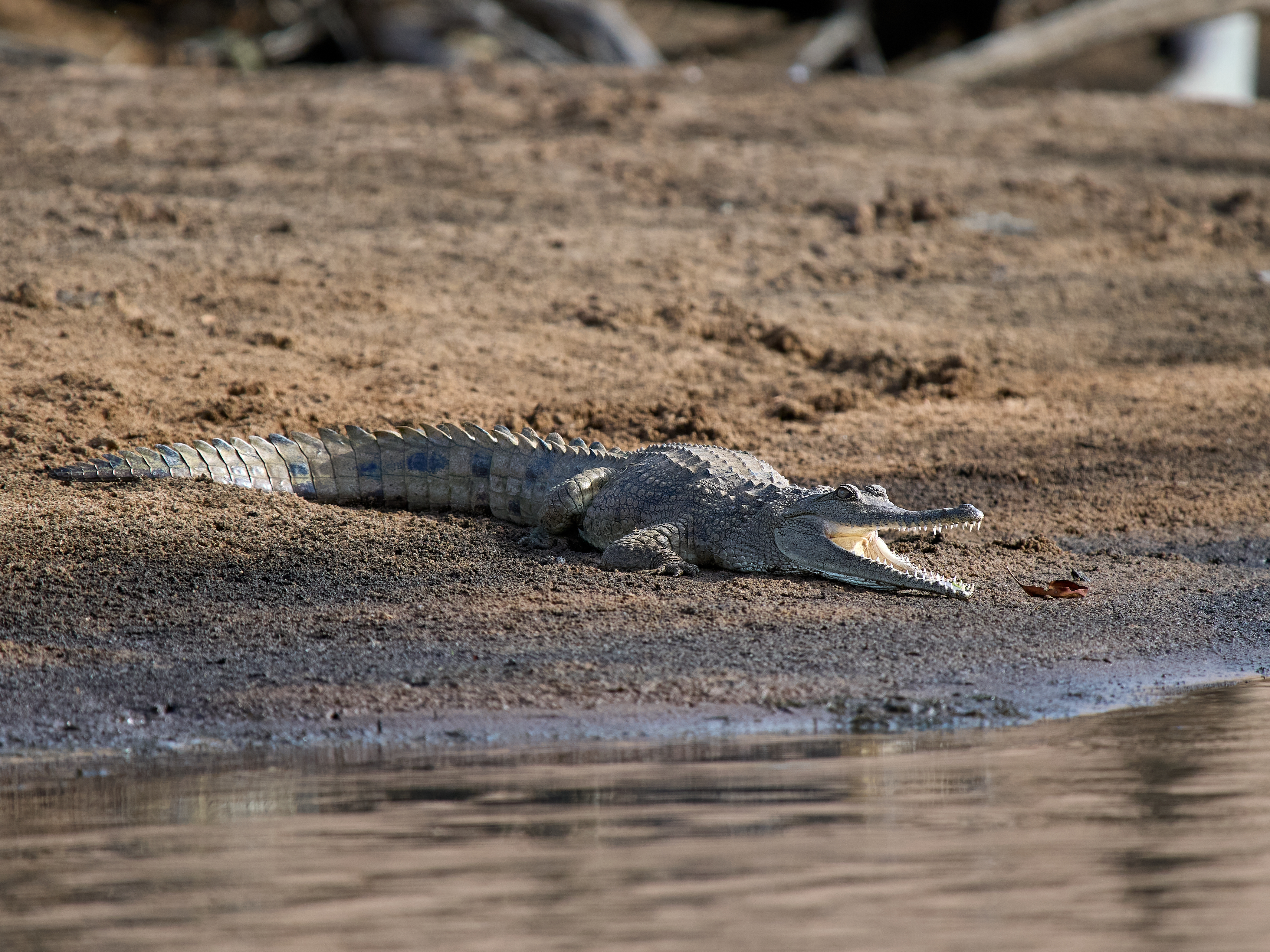
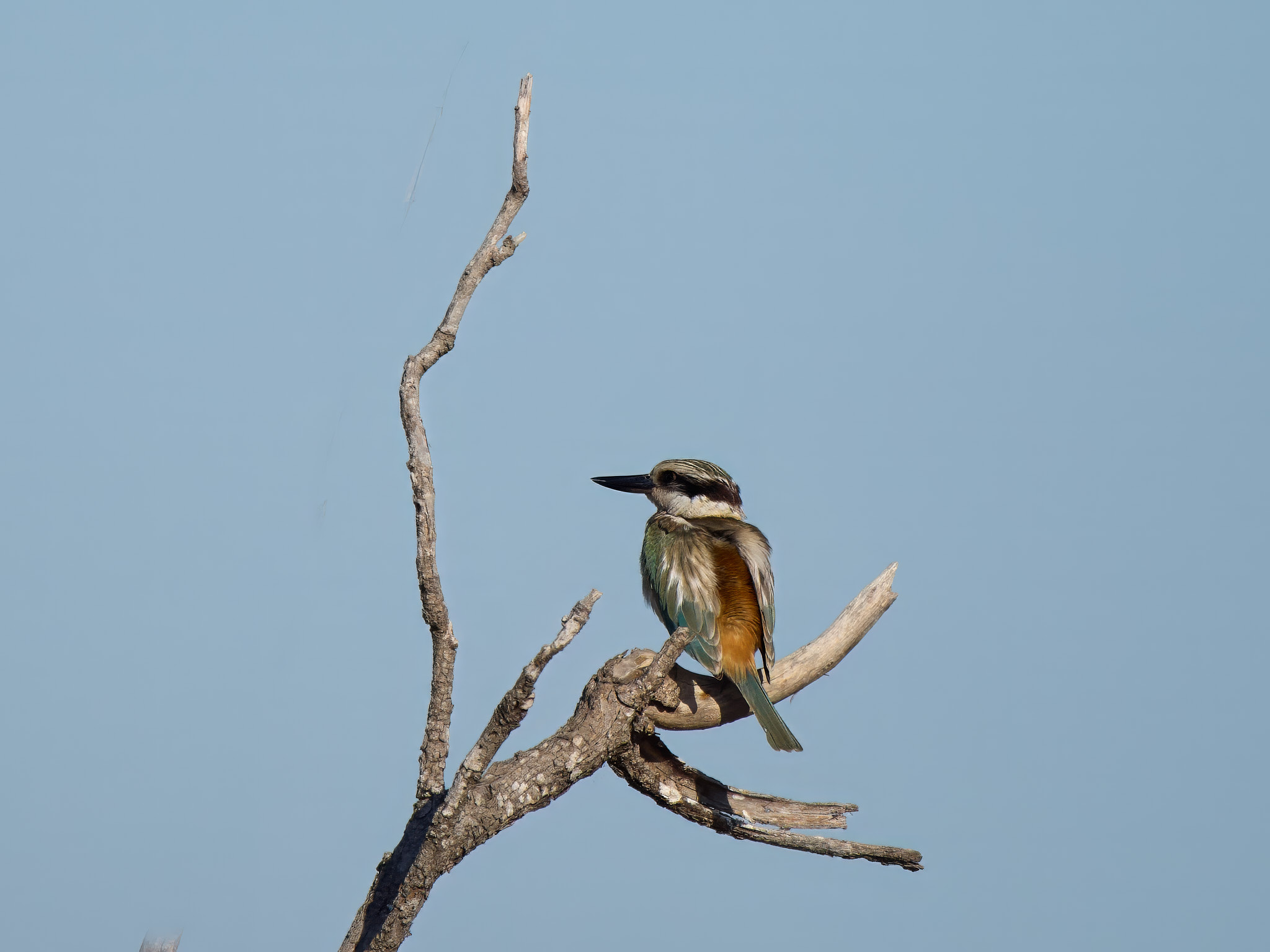
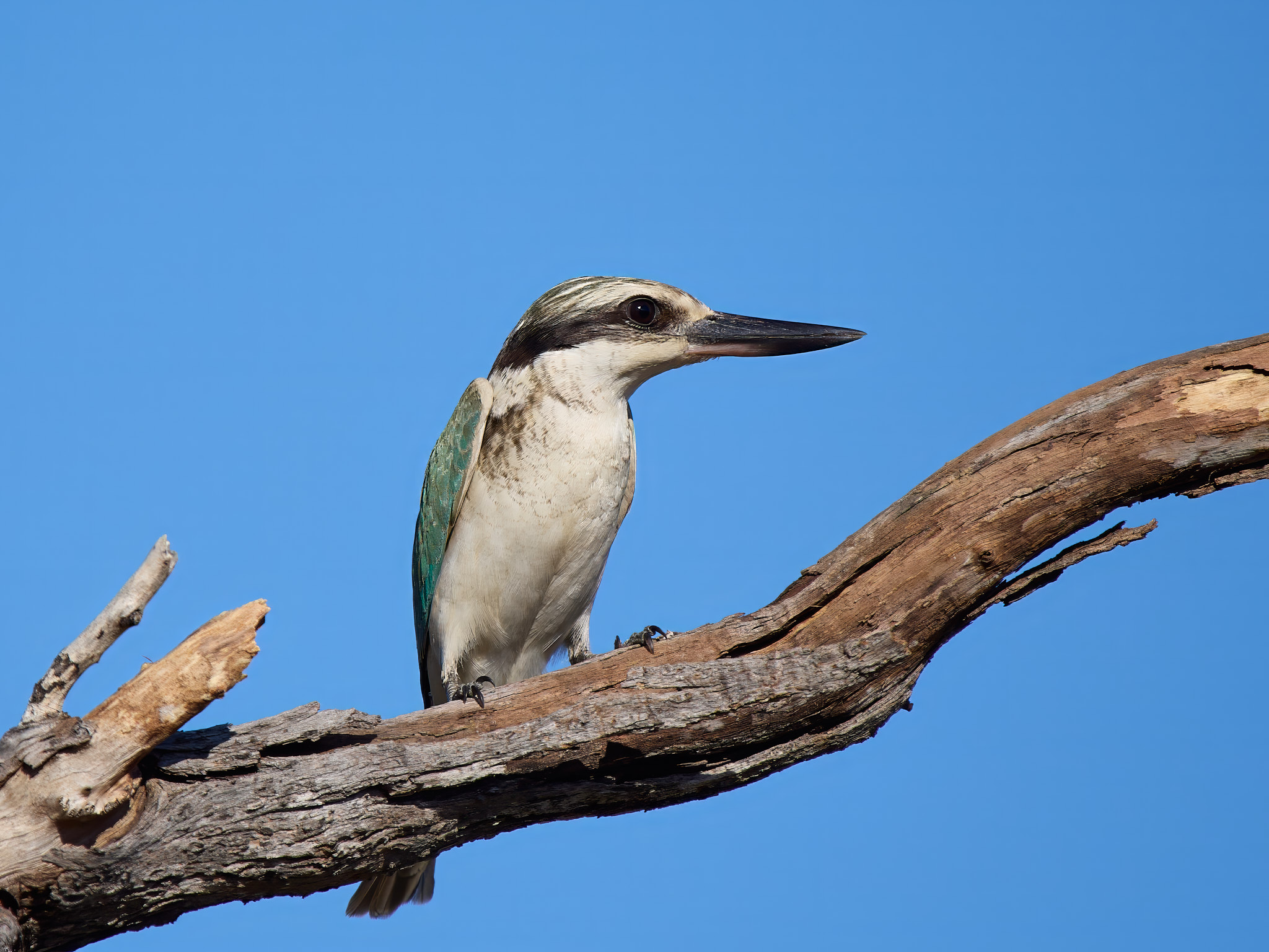
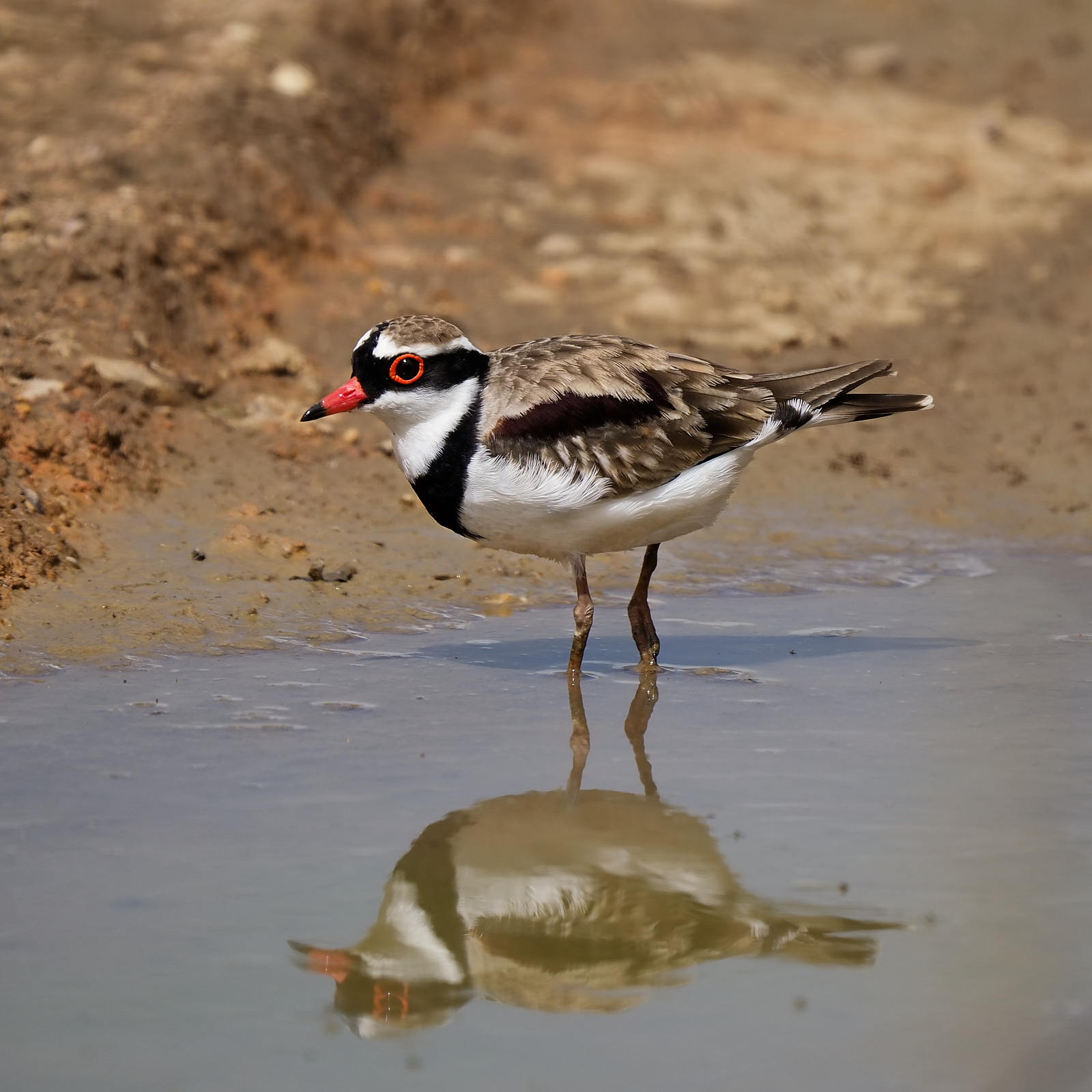
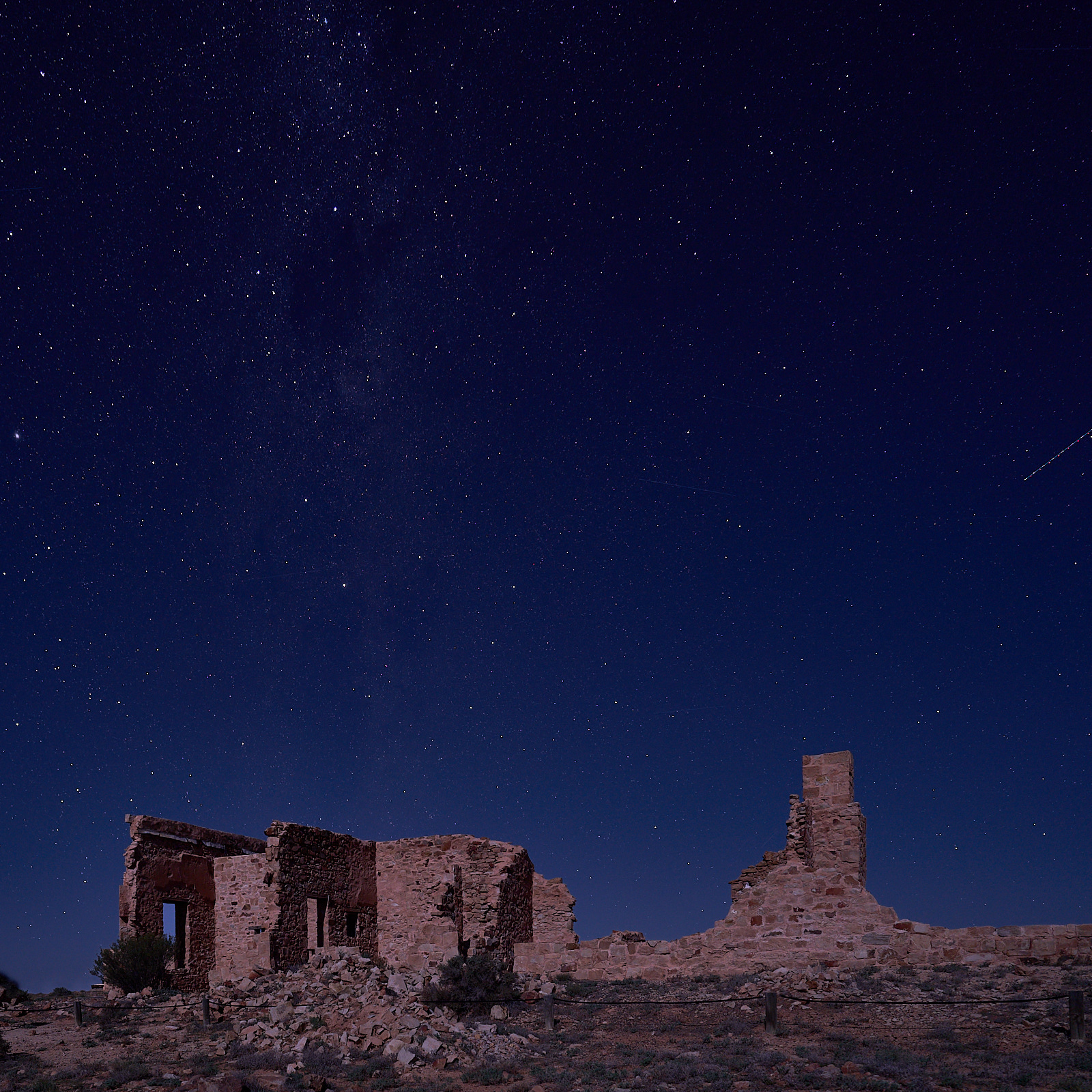
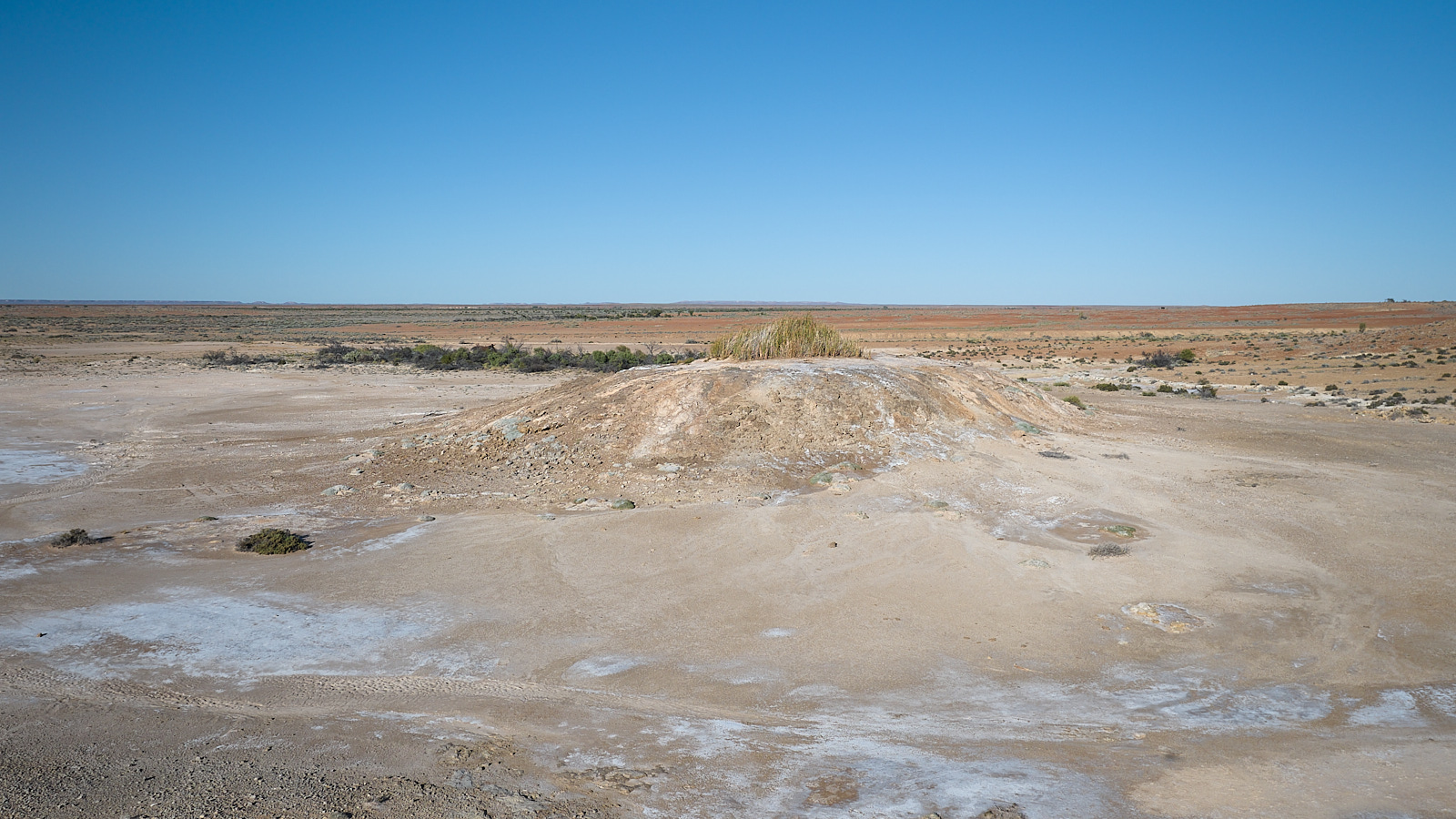
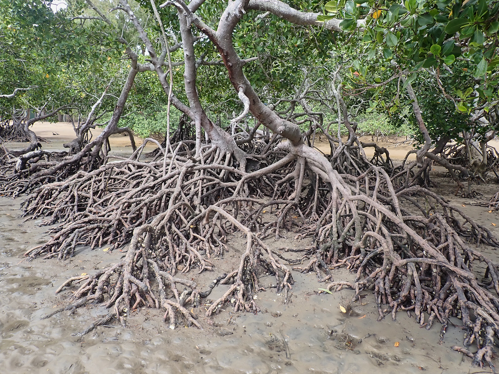
The place on the Endeavour River where the Endeavour was beached is well marked. The Green Hill where James Cook RN stood and plotted his passage through the shoals is but a short steep car ride away (demanding walk though). The bird watcher can visit Keatings Lagoon, the lagoon we had to have, mangroves, rainforest and beaches. The history buff can visit the museum and then take the 30km drive to the historic Lion’s Den Hotel where the birdo will no doubt join them for a beer.
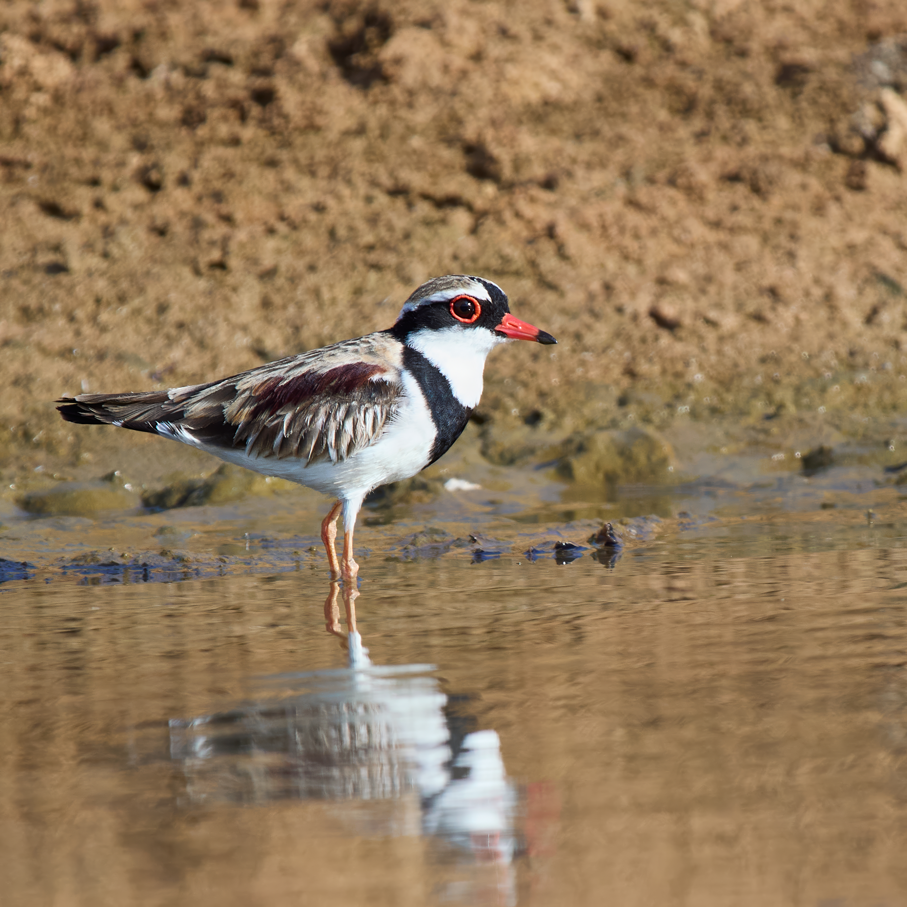
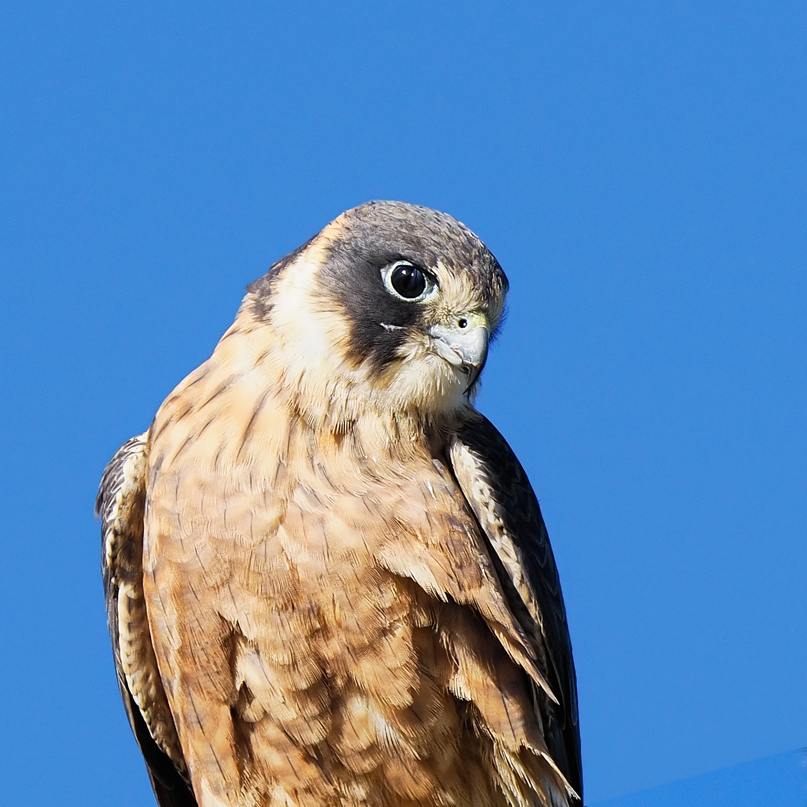
We spent three nights here. Bird number 7 in the countdown surrendered in the Botanic Gardens – Black Butcherbird, not colourful but a lovely call. Vicious beak.