Early breakfast, game drive, late lunch, three hours down time compressed into one and a half by the late lunch, high tea, game drive, late dinner, drop exhausted into bed. That sentence may seem longer than you get for murder but there was an awful lot in it and Pete Oxford made sure there was an awful lot in every single day.
Early morning is magical. It’s cool enough to send a shiver through you, the world seems huge and so much more special than you. The light is gentle. This is the time that you get your best photographs, initially in cool colours becoming warmer as the sun rises. In the tropics at this time of year blue hour plus golden hour combined last about 45 minutes. Treasure the moment.
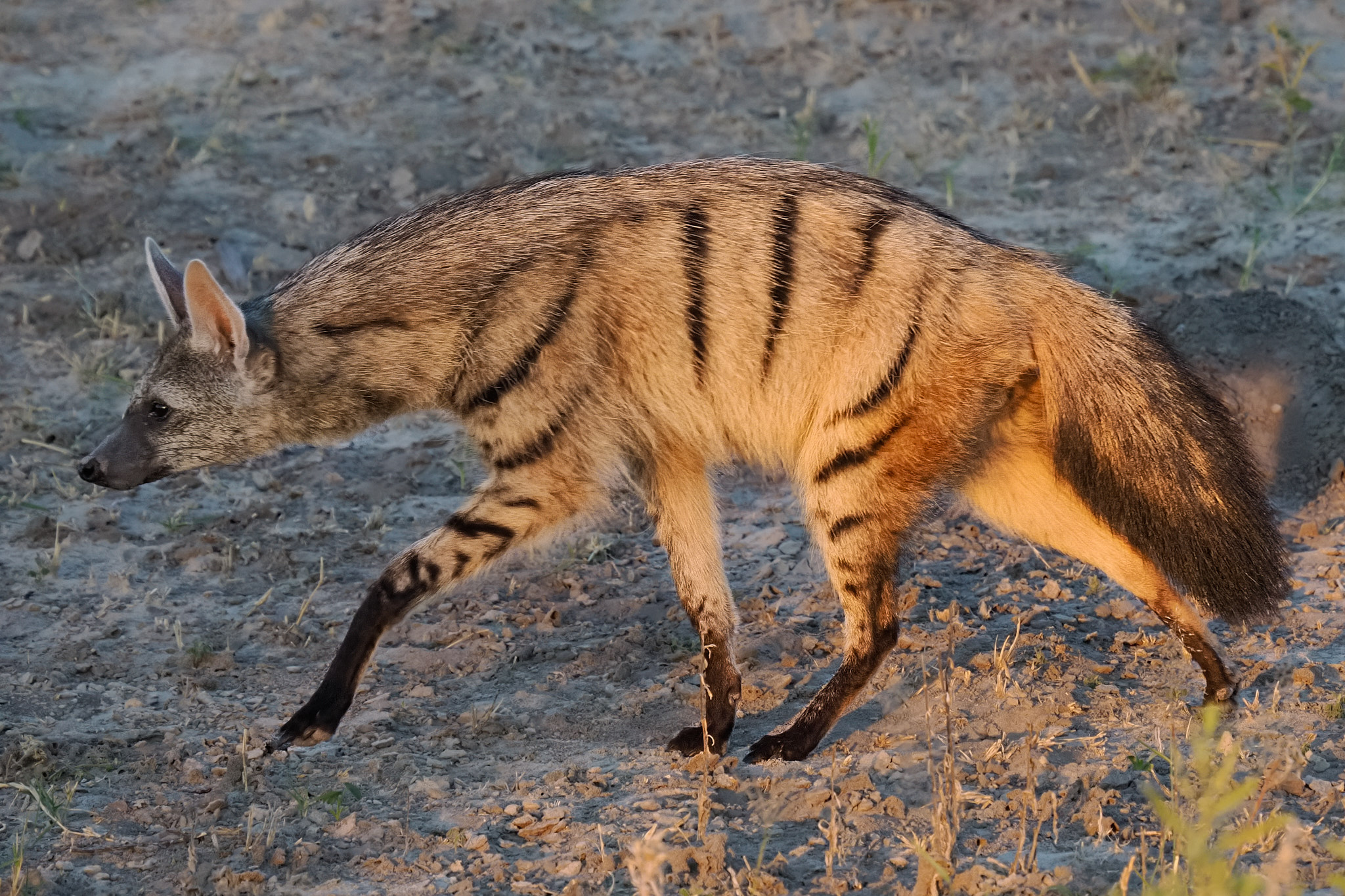
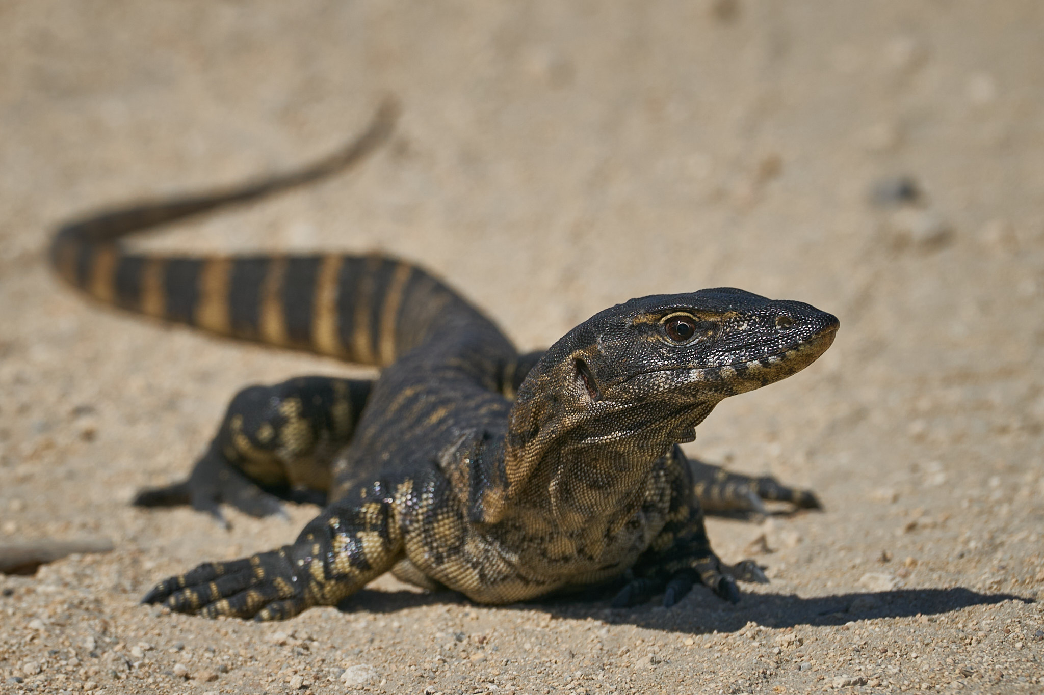
One morning, just as the sun was breaking the horizon we encountered an Aardwolf, a creature I had never seen before. The Earth Wolf from Dutch via Afrikaans. Or if you prefer a cocktail of pseudo-classical languages Proteles cristatus the first word from Greek, the second from Latin. A Hyenid, but unlike it’s cousins not a killer or scavenger of other mammals. Its diet is almost exclusively termites, as many as a quarter of a million in a night. Unlike the Aardvark (Earth Pig) it does not break into termite mounds it laps them up off the ground. They depend on termites of the family Hodotermitidae which themselves depend on dead grasses thus tying the Aardwolf to savanna country.
Aardwolves are territorial, mark their domain frequently with their anal glands (see the first photo), feed almost exclusively at night and late afternoon and spend their days in a burrow. We were truly fortunate to get stunning views as the sun rose …