Home Safe …

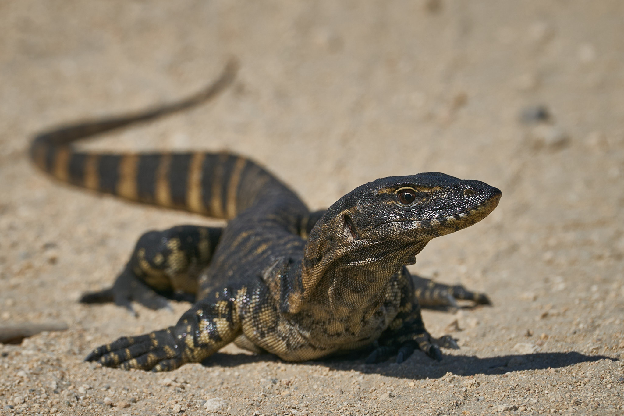
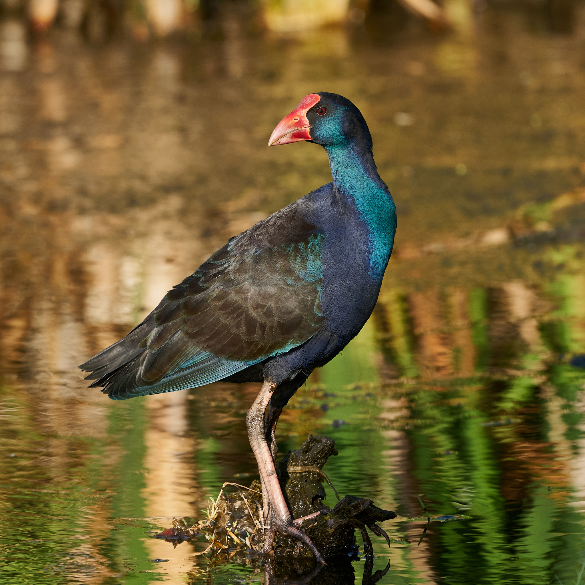
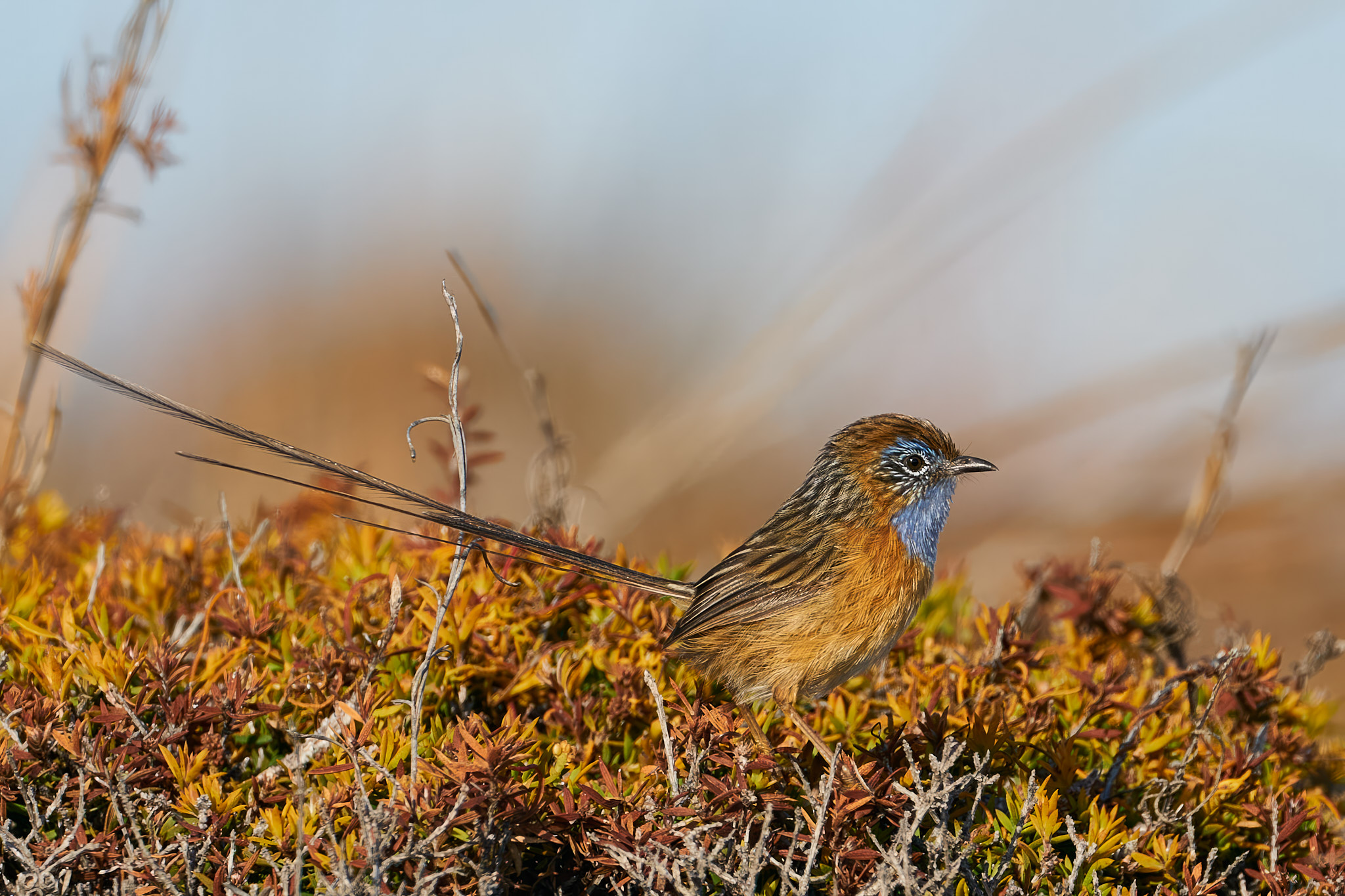
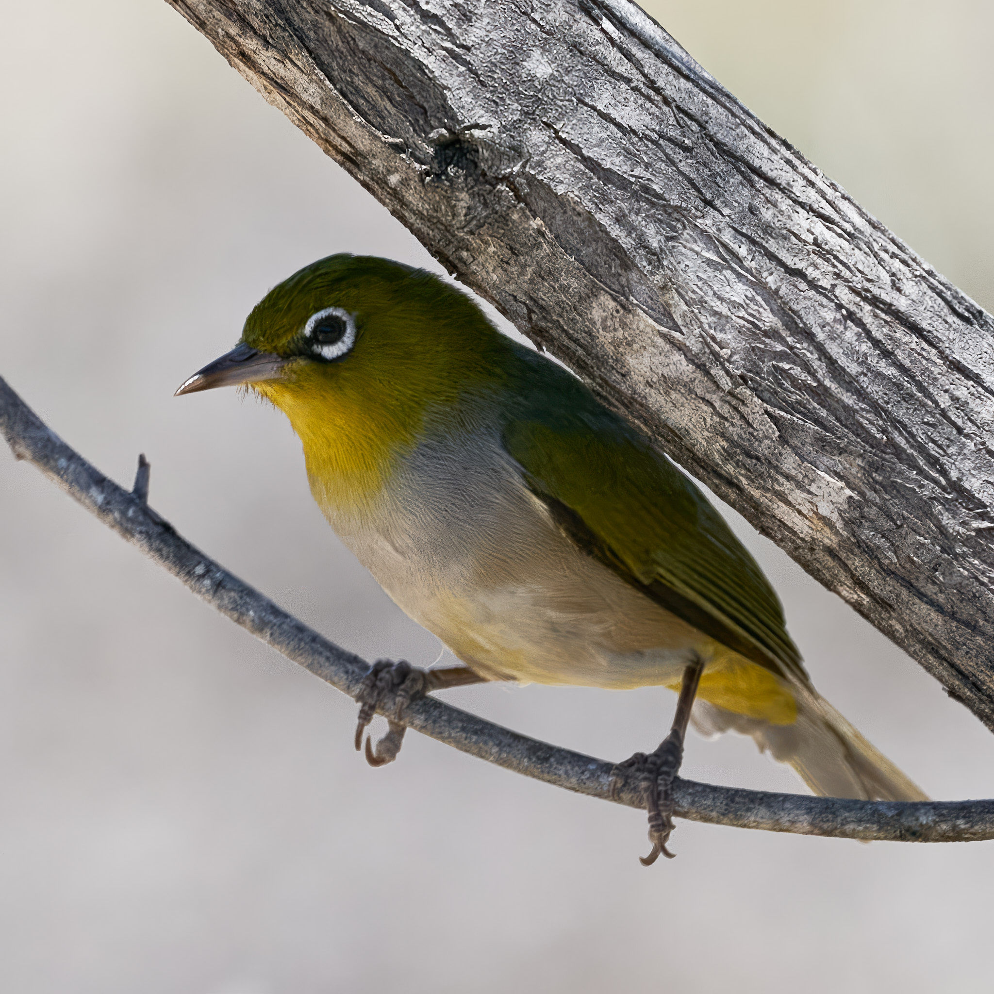
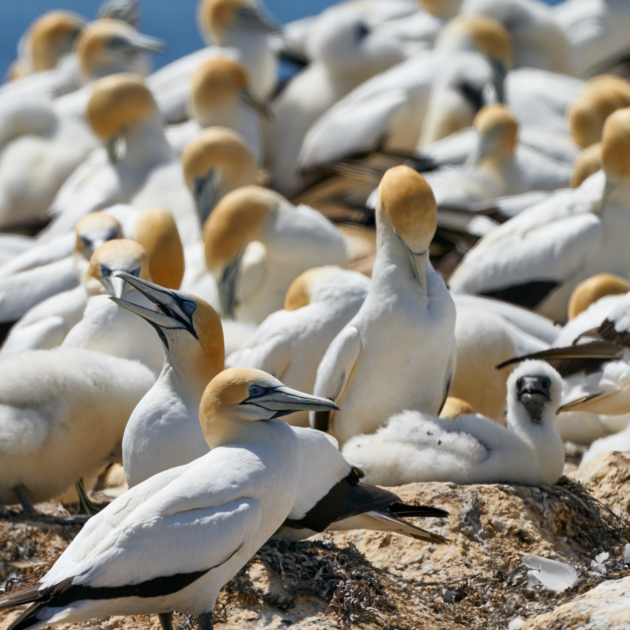
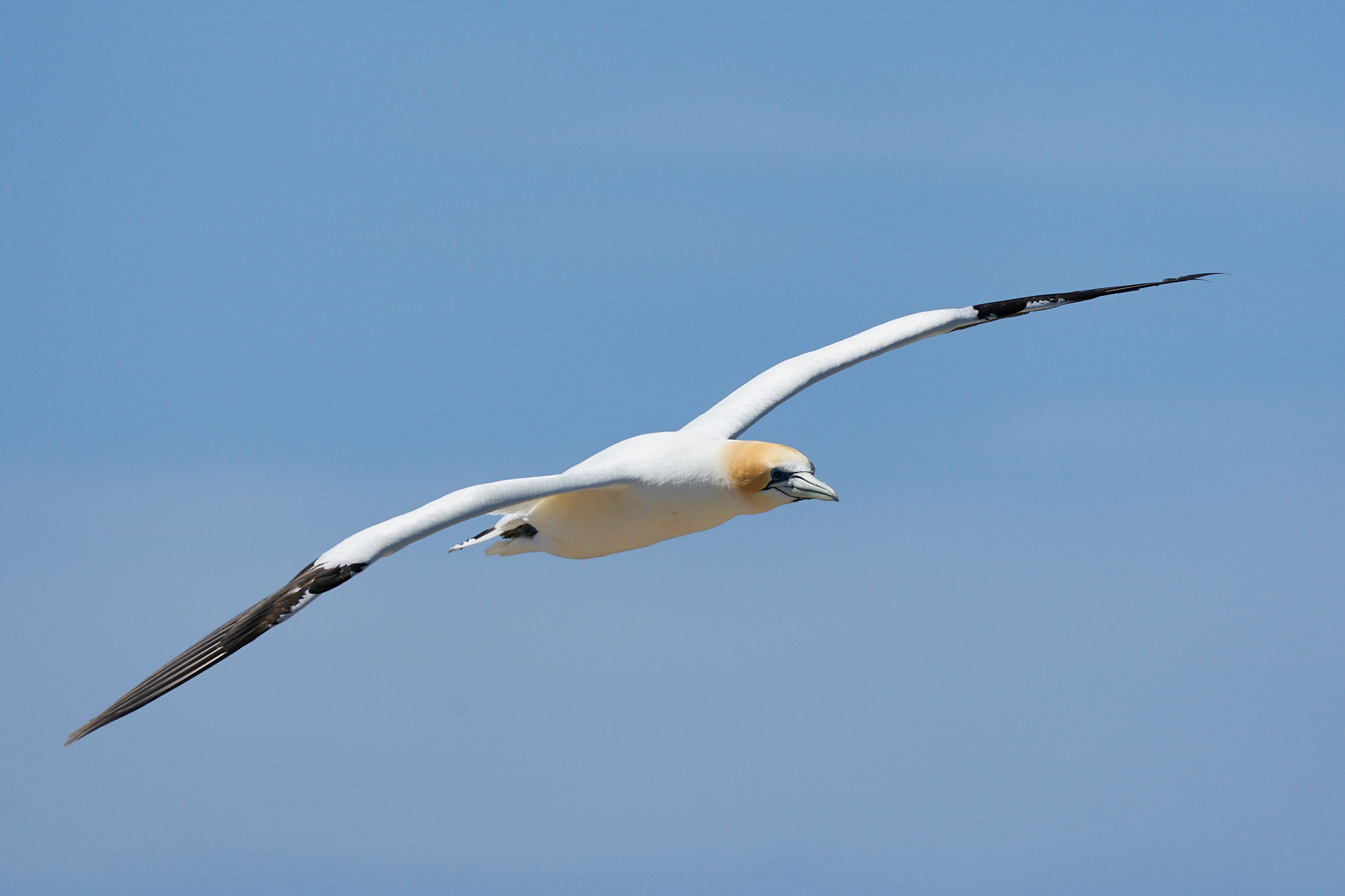
Next stop after the coast was Northam home of the sublime Mute Swan …

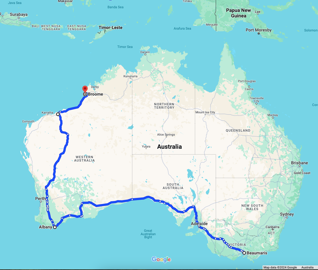
and also the decision point. Two roads lead from Perth to Broome, an inland route 1970km or a coastal route 2368km.

The inland route has the advantage of being 400km shorter and in the event of a cyclone there would be a greater chance of the caravan staying on the ground. We’d have chosen the shorter route but it was closed by flood.

In particular, the Fortescue River near Newman was close to setting new records. The coastal route was open but what falls inland then sets off towards the sea. We decided to put in a couple of very long days in order to get north of the Fortescue and the De Grey.

There is a roadhouse overlooking the Fortescue River and we stopped for a yarn. A young lady working there had been looking for the water coming down for a couple of days but not a trickle so far. A local elder was of the view that the desert would swallow it all on the way and there’d be little or none to see. It just hadn’t rained for long enough. A trucky taking a break had caught the arrival of a flood in 2021 and recalled how impressive it was on that occasion. When we crossed the bridge there were just a few puddles to be seen.

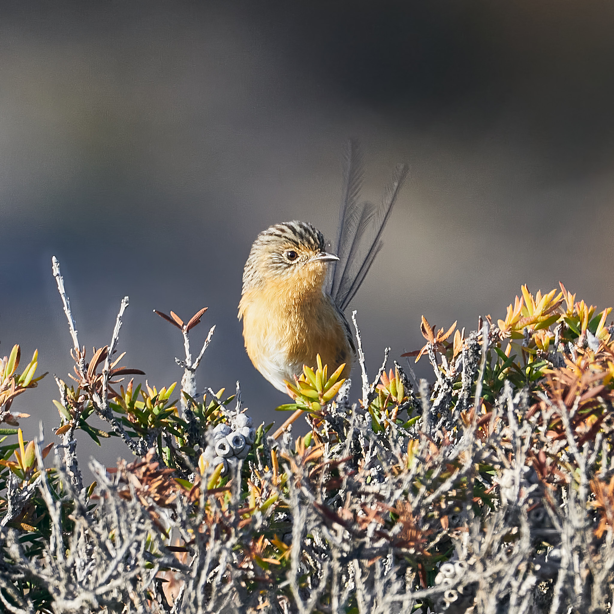
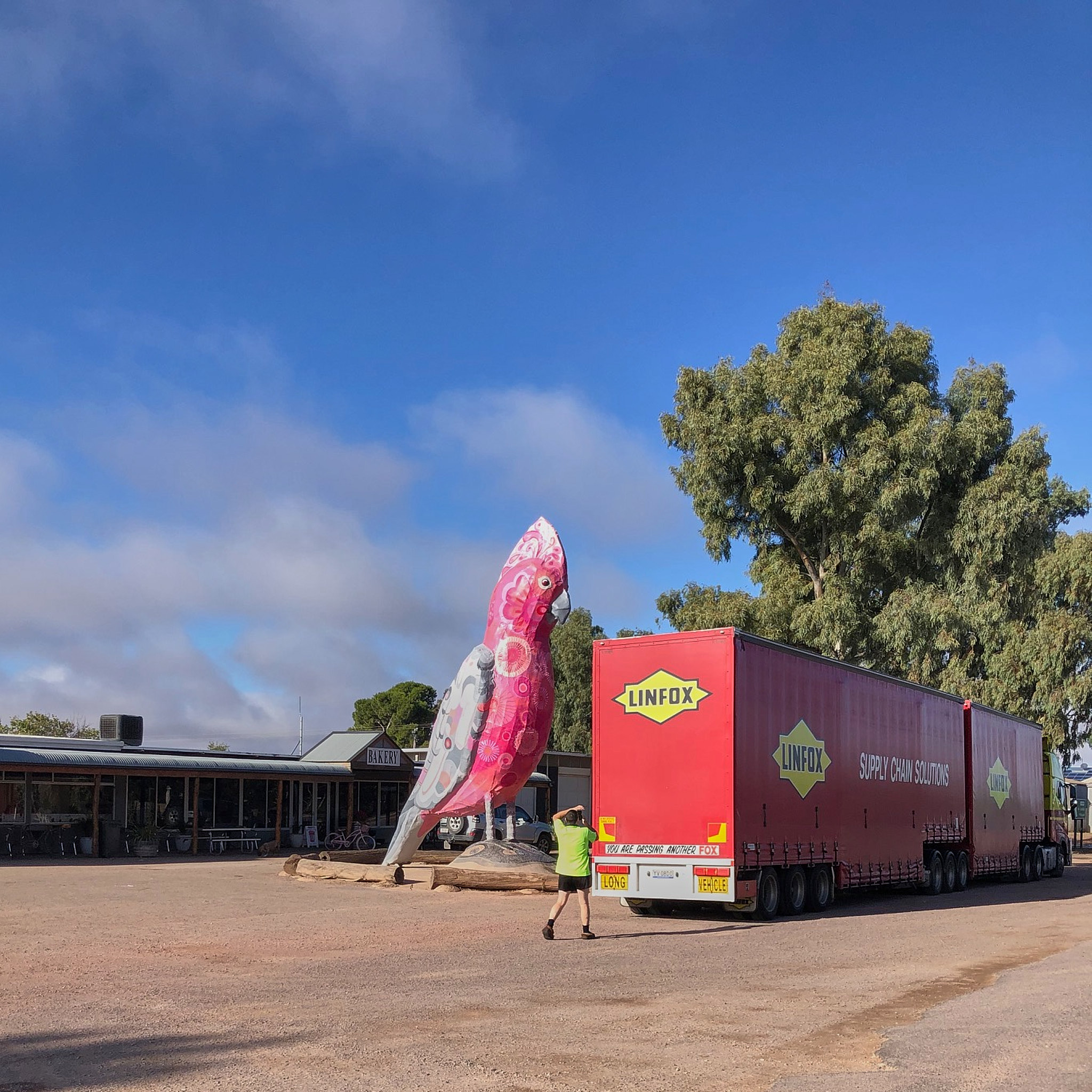
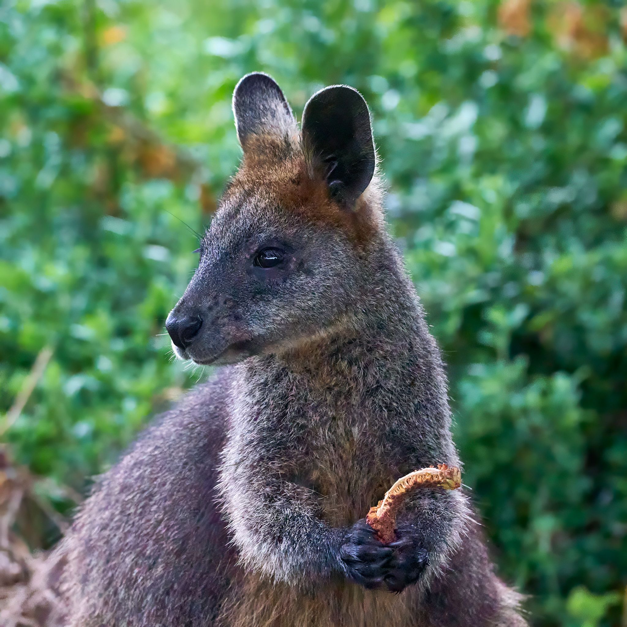
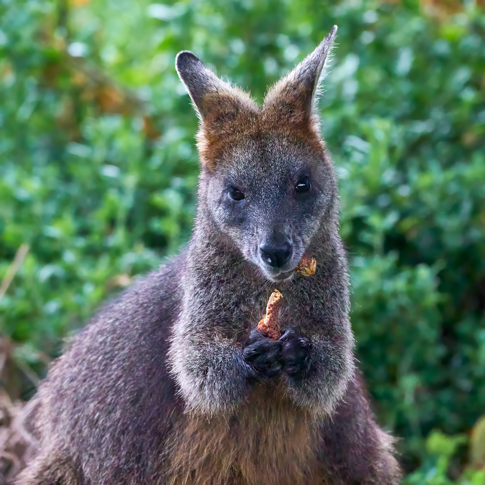
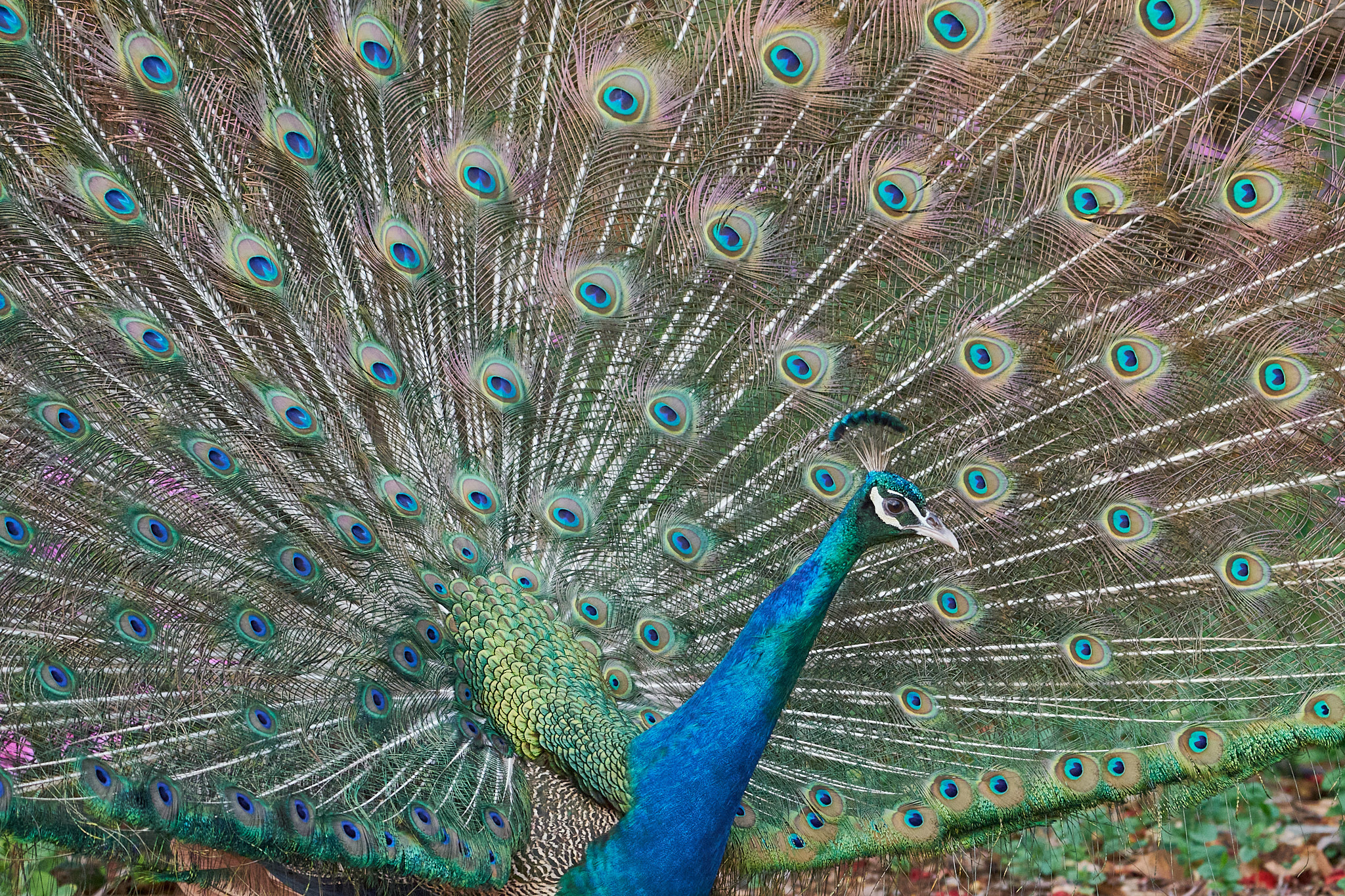
On the second long day we crossed the De Grey. It too was underwhelming. That night we stopped at the Sandfire Roadhouse. Home of the ridiculous Peafowl.

Last night we slept in our own bed. It was a bit on the warm side!

Albany …

Because we made good time across the Nullarbor we have had four nights in the Great Southern region of WA. The first was on the edge of the Sterling Range National Park and then three on the Kalgan River just outside Albany. The birding has been excellent, Two Peoples Bay and Lake Seppings especially. My target species was Western Whipbird and, once again, I managed not to see it. Regional endemics such as Red-capped Parrot and Red-eared Firetail have been easier to find but not prepared to pose for me. Here are some of the photographic highlights …

Our decision not to travel north via the Stuart Highway then west through Fitzroy Crossing was a good one. Flooding has closed roads in a number of places and it will be a while before they reopen. Not that we are completely out of the woods. Our intended route was closed by fire a day or so ago near Newman. That problem is solved – the road is now closed by flood. Hopefully that will soon reopen. No cyclone brewing off the west coast presently. We head north tomorrow, only 2000km to go.

Day 8 …

We made good progress on the Eyre Highway. Kimba is very much a wheat growing area. The next sizable town is Ceduna on the coast. It has a more mixed economy. Going west from there you encounter a few more small wheat growing towns until at Penong you find a store that declares that it’s the last shop for a thousand kilometers.

The mallee woodland slowly peters out until you’re on the treeless plain that is the Nullarbor. There is practically no surface water out there partly because not a lot of rain falls but also because the limestone lets it all run straight through. In the summer of 1841 Edward John Eyre set out to walk from Fowlers Bay to King George Sound – the modern day Albany which is just down the road from where we are camped on the bank of the Kalgan River. He covered the 1368 km trip in about 5 months, five men set out, two arrived.

Eyre found water at Eucla. The modern day traveler finds a quarantine inspection site. The rules are complicated but basically fruit, vegetables, honey and soil can’t go with you into Western Australia.

From there west the landscape changes back into patchy woodland, then the trees become taller and more continuous and, once you’re off the Eyre Highway you enter wheat country again.

Day 3 …

… is often the day on our travels when tempers tend to fray. This time it has passed without incident bringing us to Kimba in South Australia’s wheat belt. Established in 1915, population 1,300 it took its name from the local aboriginal word for bushfire. It’s now the home of the big Galah, some silo art and the Kimba Tigers footie team.

Our first day out took us to the Victorian Goldfields for a farewell dinner with some of our good friends there. Gayle and I have an association with the district that stretches back more than three decades. We have never seen it so green in January in all that time …

The next day we crossed the border into South Australia and spent the night at Tailem Bend. The day had reached 38°C but overnight rain cooled the world down considerably.

We made an early start this morning and drove through Adelaide (founded 1836, population about 1.4m about 1.2m of whom have hyphenated surnames.) 77% of South Australians live in Adelaide because most of the rest of the state is covered by salt lakes.

Tomorrow we will be on the Nullarbor proper.

Homeward …

Google tells me that I have 5,978 km ahead of me, 64hours of driving and warns me that my destination is in a different time zone. It’s not the most direct route, that would be via Alice Springs and the Tanami, shorter but not quicker because an enormous chunk of that is not on sealed road. We decided against going up the middle and across the top because that would expose us to the inland heat for much longer and increase the risk of being stranded by flood. Of course we don’t have to go via Albany – there just happens to be a bird there I want to see. From there it’s pretty much due north finishing with a dash up cyclone alley.

Our comfort will depend very much on the weather and the only certainty there is that the Bureau of Meteorology will get it totally wrong.

Dagging About …

I was born in a big city, I’ve lived most of my life in a big city but me and the big city are not a match made in heaven. I’m currently dagging about in Melbourne looking forward to the day when I can set off home to Broome.

My spell checker is objecting to dagging and some of my non-Australian readers are probably equally mystified – in this context just substitute hanging. It’s complicated. The noun dag refers to the lump of wool and feces that tends to form at the rear end of a sheep, best removed if you want to avoid fly strike. It’s also used, affectionately, believe it or not, for someone who is not smartly dressed or a little odd, your wife or husband may be a bit of a dag. If you’re working you are not dagging about, if you’re bored you probably are.

To relieve the boredom this morning I headed off bright and early to Braeside Park, one of the best places for bird watching in the eastern suburbs. I made a circuit of the main lake. The birding was good.

Point Danger …

Not far from Portland, near the western end of Victoria’s coast, you can find a nesting colony of Australasian Gannets on the mainland. All the others are on offshore islands. This one began in 1996 and is the extension of a large colony on the nearby Lawrence Rocks. Seabirds tend to return to their birthplace to mate and there was simply no more room at the inn.

In its first year the colony failed to get a single chick into the adult population. Foxes, feral cats and human disturbance seemed to be the problem so the colony was fenced off. I’ve heard it said that it’s now grown to about 3000 birds and is fairly successful. I doubt the true figure is that high but here’s what it looks like from the carpark. By my count that’s 257 birds but feel free to count for yourself.

An adult drops Into that crowded space with a beak full of seaweed. Building material for the new nest.

I suspect the cement is simply guano. All going well a big fluffy chick will come into being.

The parents will range up to 50km from the nest to bring back food for the youngster. They are spectacular plunge divers. It’s great entertainment when a squadron of gannets gets onto a school of fish.

Griffiths Island …

John Griffiths built a house on the island in 1837 as a base for his whaling activities. Port Fairy is in the background with its trademark Norfolk Island Pines. It’s connected to the island by a causeway. On the right of the picture you can see the breakwaters that have improved access to the port, a byproduct of the improvements has been the silting up of shallow waters between three islands, Griffiths, Rabbit and Goat to create the enlarged Griffiths Island we have today.

The lighthouse was built in 1859. The lighthouse keepers cottage has been removed since the light was automated. However the hardier plants in the garden hold on defiantly.

The island is home to a nesting colony of Short-tailed Shearwaters. They return to breed here every spring. They clean up their burrows, usually renew their relationship with their mate of last year and work diligently to raise a single chick. In the autumn they turn their backs on the young shearwater and head for the northern hemisphere to avoid the winter. After a few weeks the chick realises that if it wants to eat it will have to fend for itself and follows.

Along the breakwaters you can often find Ruddy Turnstones and Common Sandpipers that have the same strategy but in reverse, breed in the northern hemisphere and head south for the sunshine (quite why they choose Port Fairy is a mystery).

A morning walk will often bring you close to the Swamp Wallabies that live on the island. They are fairly well habituated and will pose for pictures. This one was munching on whatever it is that passes for leaves on Norfolk Island Pines.

You will certainly find a bird or two.

Destination Victoria …

The heatwave was a one day affair. A cold change came through overnight bringing a light shower with it. The journey took us to Wirreburra with its beautiful silo art, one of my favorites.

Then on through the South Australian Riverland, irrigated farmland under fruit trees and grapevines to the northwest corner of Victoria and our campsite near Mildura. A couple of pleasant nights on the banks of the Murray then to the Goldfields to catch up with some friends.

The Victorian Goldfields were as always at this time of the year, the winter crops were coming in, the grass had turned to gold and the sheep were in fine condition. And the night sky was clear.

Eyre Peninsula …

Arid scrub and rich farmland, amazing coastal scenery, mineral wealth, seafood, fascinating ornithology and the occasional ferocious bushfire. It’s interesting. On this occasion our journey took us around the triangle. If we weren’t traveling with a dog it would have included the Lake Gillies conservation park. We spent two nights at Streaky Bay and two at Coffin Bay. Port Lincoln has a population between 16 and 17 thousand, Whyalla is a mining town, the rest of the place is lovely!

No trip to Streaky Bay would be complete without driving the Cape Bauer Loop and another trip to the Sealion colony at Cape Labatt. You could throw in Murphy’s Haystacks if you’re geologically inclined.

A short diversion at Elliston takes you on the Elliston Clifftop loop. If you are impressed by Victoria’s Great Ocean Road prepare yourself for something even more splendid. There are also some sculptures that can be seen along the way … they don’t stand a chance against the scenery.

Coffin Bay sounds like a place with a story attached and there is one, but it’s very tame. Matthew Flinders put the bay on the map in 1802 and named it after his friend Sir Isaac Coffin, later a rear admiral. It is famous for its oysters and a wonderful national park. Emus roam the streets and remarkably photogenic they are.

The Eyre Peninsula is very interesting ornithologically. It is a thousand kilometers around the Great Australian Byte to Esperance in Western Australia and there is some very inhospitable country in between yet there are a number of birds that are found in southwest WA and the Eyre Peninsula and not further east. They include birds from quite different genera, the Blue-breasted Fairywren,Rufous Treecreeper and Western Yellow Robin. The Western Whipbird, Western Whistler, Rock Parrot and Elegant Parrot almost qualify but their ranges stretch a little further east. There must have been a time when Australia’s climate permitted suitable habitat for these birds to extend right across the Nullarbor. Somehow the Laughing Kookaburra failed to make that journey. They are common in southwest WA now but were introduced deliberately about 120 years ago. It’s a similar story for Rainbow Lorikeets but they are much more recent aviary escapees.

Birding around Coffin Bay was most productive and some of the wildlife even posed for a photo.

We left Coffin Bay on a hot and windy day, 43°C, gale force winds, extreme fire danger.

We passed a couple of silo masterpieces on the way north.

Tonight we are at Wilmington. It was originally called Beautiful Valley. I can understand why they changed the name.