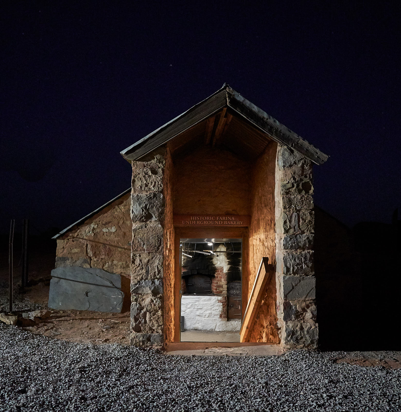
We’ve reached the fag end of Eastern Australian Summer Time, the curtains have faded in the extra hour of sunlight and I’m milking the cows in the dark. It will soon be time to fall back i.e. cut an inch off the bottom of the blanket and sew it on the top so as to be warmer for the impending winter.
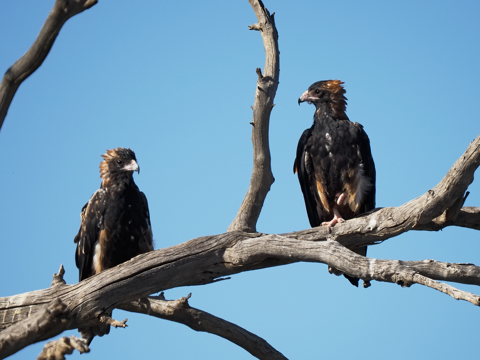
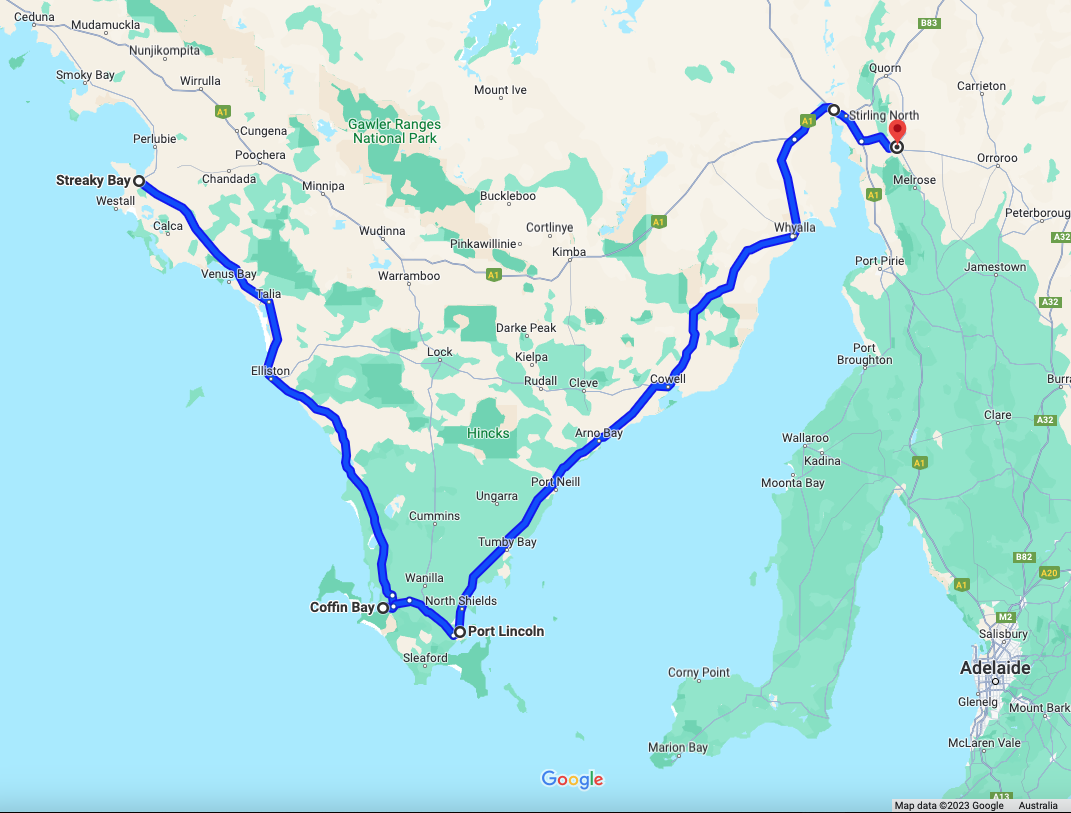
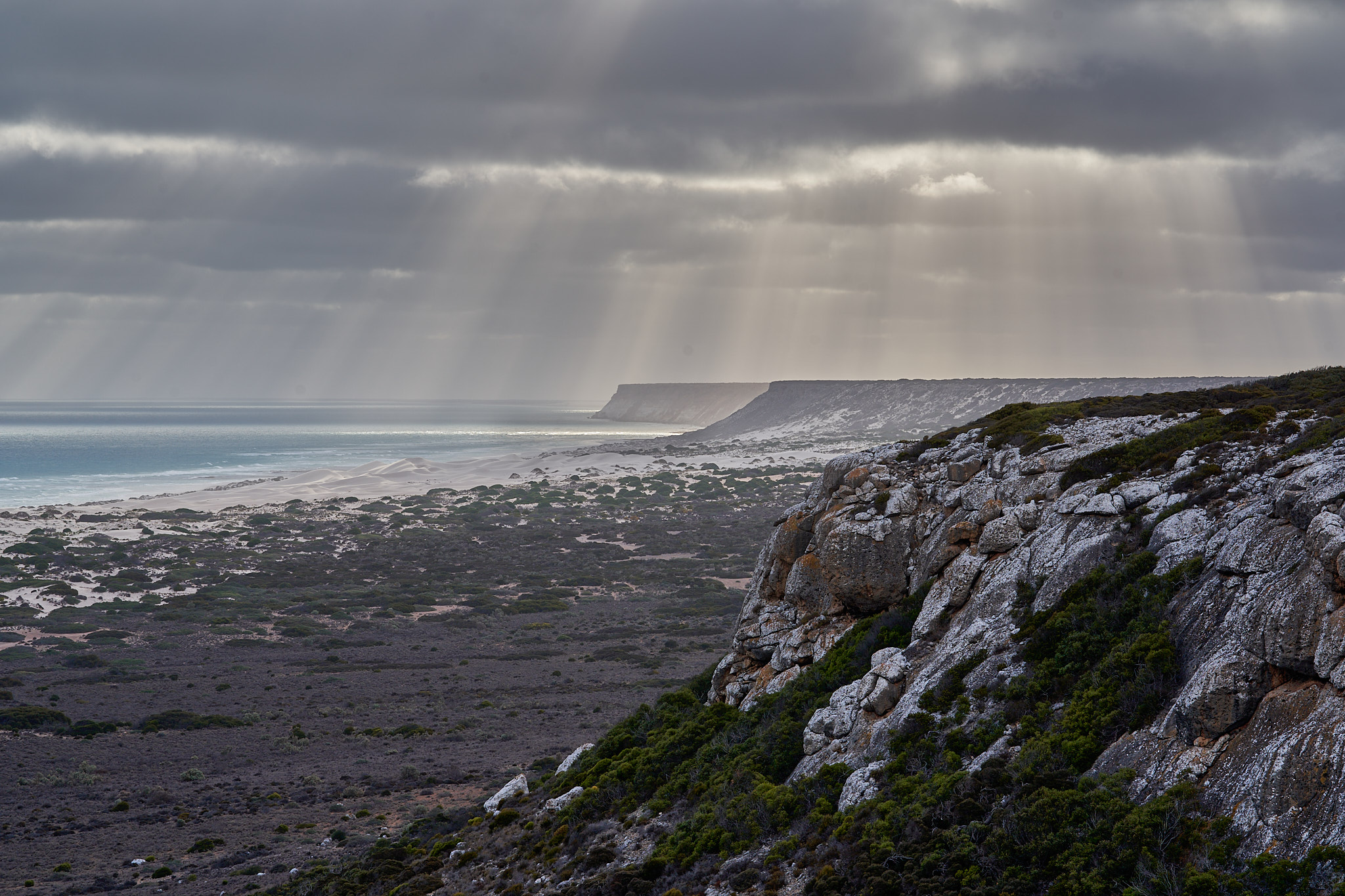
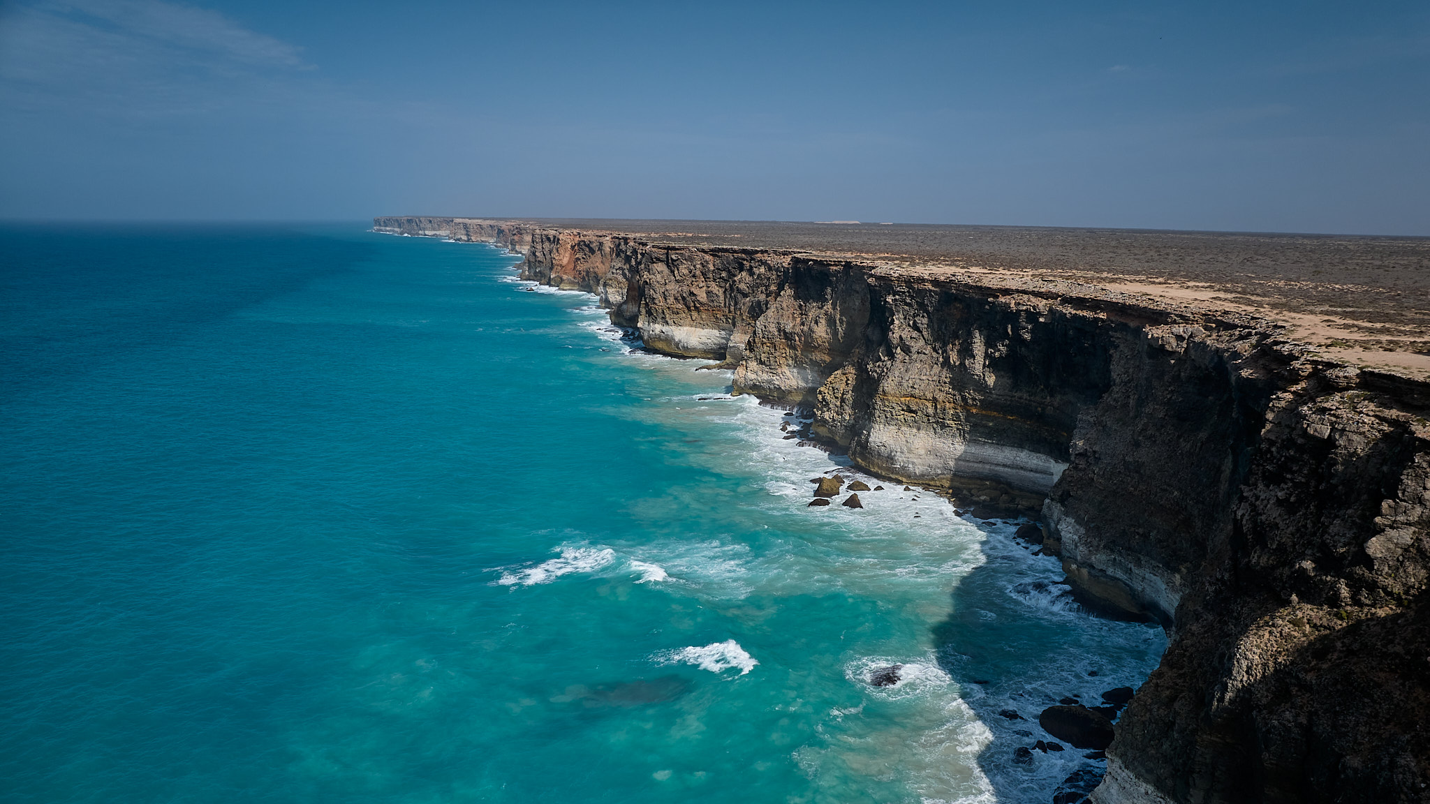
Alternatively one could migrate. The Welcome Swallows and Rainbow Bee-eaters are starting to bunch up and head north. The McGees are doing the same thing. The little caravan has been grazing quietly in a paddock over summer. We hitched it up a few days ago but instead of driving off into the sunset we took a quick trip along Victoria’s Great Ocean Road just to stay close to home while we checked that all was in working order. All is in working order.
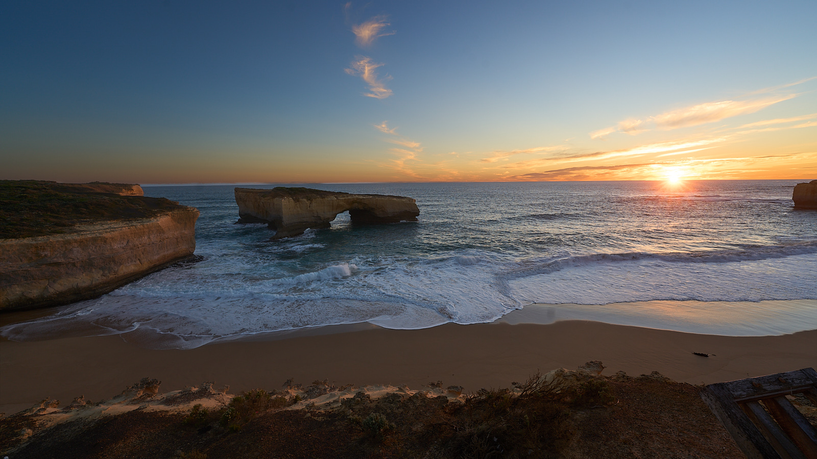
This is London Bridge one of the landmarks along the Great Ocean Road. There used to be another span connecting it to the mainland. Two young people had just reached the seaward side of it at 7.40pm on January 15, 1990 when it fell down behind them. They had a lonely, cold and nervous wait until being lifted off by helicopter.
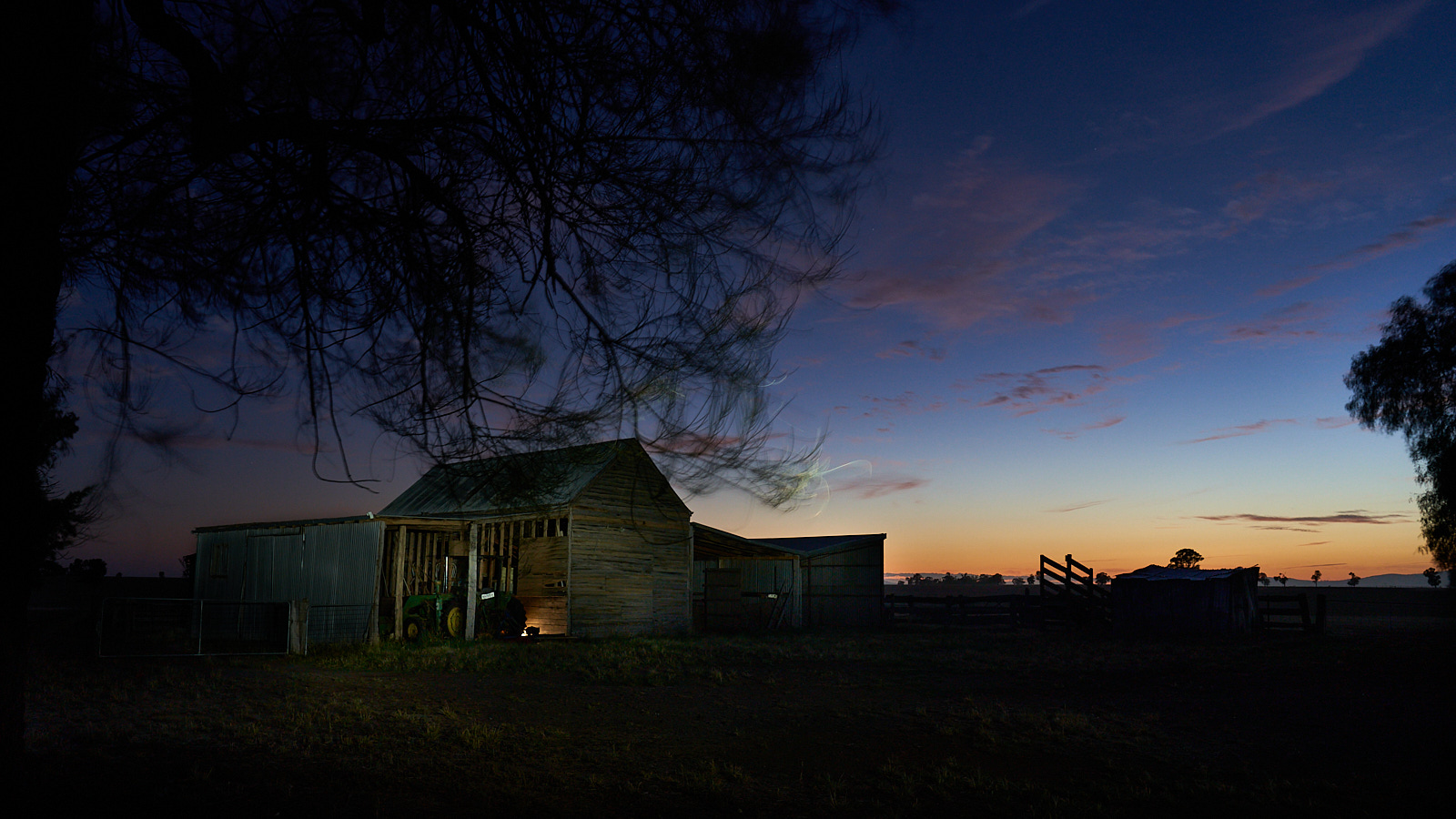
About an hour after this photo was taken a small group of Little Penguins came out of the surf and headed up the beach.
Tonight we are in Port MacDonnell in South Australia, it’s the southern most town in the state and famous for its rock lobsters. The people of South Australia are even nicer than Canadians and most have hyphens in their surnames. What will their children do when they marry?
And BTW here is another McGee Studios production, please watch …